Gesundbrunnen (Gesundbrunnen)
- locality of Berlin
- Country:

- Postal Code: 13409; 13359; 13357; 13355; 13353; 13347
- Coordinates: 52° 32' 55" N, 13° 23' 25" E


- GPS tracks (wikiloc): [Link]
- AboveSeaLevel: 53 м m
- Area: 6.13 sq km
- Population: 90748
- Wikipedia en: wiki(en)
- Wikipedia: wiki(de)
- Wikidata storage: Wikidata: Q644350
- Wikipedia Commons Gallery: [Link]
- Wikipedia Commons Category: [Link]
- Wikipedia Commons Maps Category: [Link]
Shares border with regions:


Mitte
- locality in the borough of Mitte, Berlin, Germany
- Country:
- Postal Code: 10179; 10178; 10119; 10117; 10115
- Licence Plate Code: B
- Coordinates: 52° 31' 10" N, 13° 24' 24" E
- GPS tracks (wikiloc): [Link]
- AboveSeaLevel: 48 м m
- Area: 10.69 sq km
- Population: 89757
Details...

Prenzlauer Berg
- locality of Berlin
- Country:
- Coordinates: 52° 32' 3" N, 13° 25' 7" E
- GPS tracks (wikiloc): [Link]
- AboveSeaLevel: 54 м m
- Area: 11 sq km
- Population: 156910
Details...


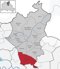
Pankow
- locality of the borough Pankow of Berlin
- Country:
- Coordinates: 52° 34' 0" N, 13° 24' 0" E
- GPS tracks (wikiloc): [Link]
- AboveSeaLevel: 47 м m
- Area: 5.66 sq km
- Population: 57113
Details...

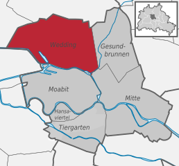
Wedding
- locality in the borough of Mitte, Berlin, Germany
- Country:
- Postal Code: 13407; 13359; 13357; 13353; 13351; 13349; 13347
- Coordinates: 52° 33' 0" N, 13° 22' 0" E
- GPS tracks (wikiloc): [Link]
- AboveSeaLevel: 41 м m
- Area: 9.23 sq km
- Population: 83612
Details...


Reinickendorf
- locality of the borough Reinickendorf of Berlin
- Country:
- Postal Code: 13409; 13407; 13403
- Coordinates: 52° 34' 0" N, 13° 20' 0" E
- GPS tracks (wikiloc): [Link]
- AboveSeaLevel: 42 м m
- Area: 10.5 sq km
- Population: 80687
Details...
