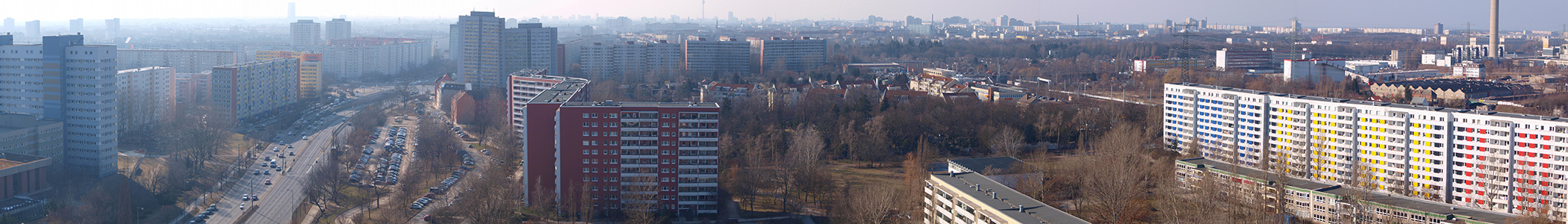
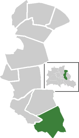
Lichtenberg (Lichtenberg)
Includes regions:


Wartenberg
- locality of Berlin
- Country:

- Coordinates: 52° 34' 45" N, 13° 31' 15" E


- GPS tracks (wikiloc): [Link]
- AboveSeaLevel: 58 м m
- Area: 6.92 sq km
Details...


Rummelsburg
- locality of Berlin
- Country:
- Coordinates: 52° 30' 0" N, 13° 29' 33" E
- GPS tracks (wikiloc): [Link]
- AboveSeaLevel: 40 м m
- Area: 4.52 sq km
Details...


Malchow
- locality of Berlin
- Country:
- Coordinates: 52° 34' 45" N, 13° 29' 0" E
- GPS tracks (wikiloc): [Link]
- AboveSeaLevel: 57 м m
- Area: 1.54 sq km
- Population: 508
Details...
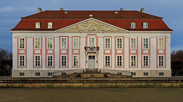
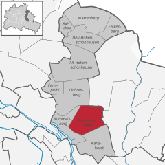
Friedrichsfelde
- locality of Berlin
- Country:
- Coordinates: 52° 30' 21" N, 13° 31' 9" E
- GPS tracks (wikiloc): [Link]
- AboveSeaLevel: 39 м m
- Area: 5.55 sq km
- Population: 52502
Details...


Fennpfuhl
- locality of Berlin
- Country:
- Coordinates: 52° 31' 42" N, 13° 28' 27" E
- GPS tracks (wikiloc): [Link]
- AboveSeaLevel: 64 м m
- Area: 2.12 sq km
Details...


Neu-Hohenschönhausen
- locality of Berlin
- Country:
- Coordinates: 52° 33' 48" N, 13° 30' 18" E
- GPS tracks (wikiloc): [Link]
- AboveSeaLevel: 55 м m
- Area: 5.16 sq km
- Population: 53374
Details...


Falkenberg
- locality of Berlin, Germany
- Country:
- Coordinates: 52° 34' 15" N, 13° 32' 45" E
- GPS tracks (wikiloc): [Link]
- AboveSeaLevel: 56 м m
- Area: 3.06 sq km
Details...


Alt-Hohenschönhausen
- locality of Berlin
- Country:
- Coordinates: 52° 32' 55" N, 13° 30' 27" E
- GPS tracks (wikiloc): [Link]
- AboveSeaLevel: 55 м m
- Area: 9.33 sq km
- Population: 42609
Details...
Karlshorst
- locality of Berlin
- Country:
- Coordinates: 52° 28' 57" N, 13° 31' 33" E
- GPS tracks (wikiloc): [Link]
- AboveSeaLevel: 36 м m
- Area: 6.6 sq km
Details...


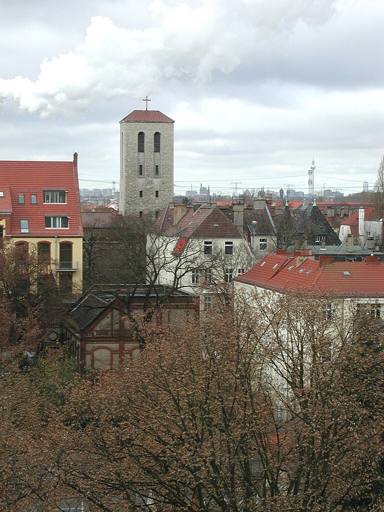
Lichtenberg
- locality of borough Lichtenberg of Berlin, Germany
- Country:
- Coordinates: 52° 31' 16" N, 13° 28' 48" E
- GPS tracks (wikiloc): [Link]
- AboveSeaLevel: 52 м m
- Area: 7.22 sq km
- Population: 39121
Details...
Shares border with regions:

Marzahn-Hellersdorf
- borough of Berlin, Germany
- Country:
- Coordinates: 52° 32' 0" N, 13° 35' 0" E
- GPS tracks (wikiloc): [Link]
- Area: 61.74 sq km
- Web site: [Link]
Details...

Treptow-Köpenick
- borough of Berlin, Germany
- Country:
- Coordinates: 52° 27' 0" N, 13° 34' 0" E
- GPS tracks (wikiloc): [Link]
- Area: 168 sq km
- Web site: [Link]
Details...


Friedrichshain-Kreuzberg
- borough of Berlin, Germany
- Country:
- Coordinates: 52° 30' 0" N, 13° 27' 0" E
- GPS tracks (wikiloc): [Link]
- Area: 20.2 sq km
- Population: 281076
- Web site: [Link]
Details...

Pankow
- borough of Berlin, Germany
- Country:
- Licence Plate Code: B
- Coordinates: 52° 34' 0" N, 13° 24' 0" E
- GPS tracks (wikiloc): [Link]
- Area: 103 sq km
- Web site: [Link]
Details...

.svg)