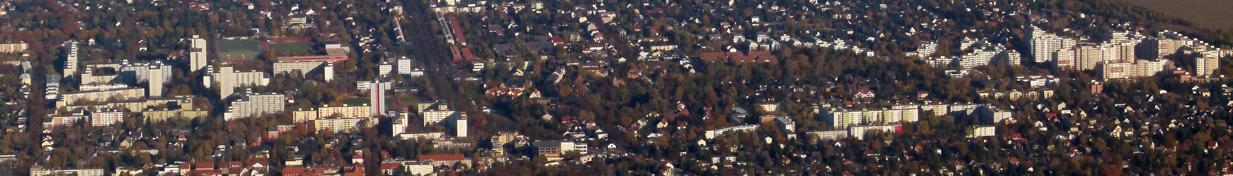
Neukölln (Neukölln)
Includes regions:
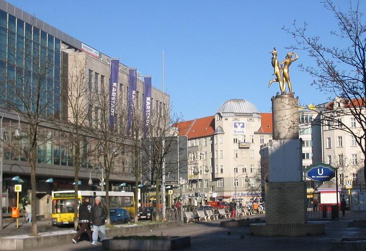

Neukölln
- locality of the borough Neukölln of Berlin, Germany
- Country:

- Postal Code: 12059; 12057; 12055; 12053; 12051; 12049; 12047; 12045; 12043
- Coordinates: 52° 28' 53" N, 13° 26' 7" E


- GPS tracks (wikiloc): [Link]
- AboveSeaLevel: 55 м m
- Area: 11.7 sq km
- Population: 167248
Details...


Britz
- locality of Berlin
- Country:
- Postal Code: 12359; 12347
- Coordinates: 52° 27' 0" N, 13° 26' 0" E
- GPS tracks (wikiloc): [Link]
- AboveSeaLevel: 44 м m
- Area: 12.4 sq km
- Population: 41613
Details...
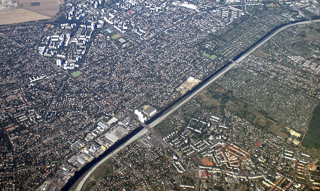
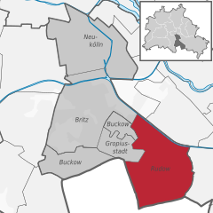
Rudow
- locality of Berlin
- Country:
- Postal Code: 12357; 12355; 12353
- Coordinates: 52° 25' 0" N, 13° 30' 0" E
- GPS tracks (wikiloc): [Link]
- AboveSeaLevel: 38 м m
- Area: 11.8 sq km
- Population: 41618
Details...

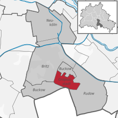
Buckow
- locality of Berlin
- Country:
- Postal Code: 12353; 12351; 12349
- Coordinates: 52° 25' 55" N, 13° 27' 42" E
- GPS tracks (wikiloc): [Link]
- AboveSeaLevel: 44 м m
- Area: 6.35 sq km
- Population: 39184
Details...

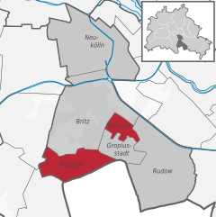
Gropiusstadt
- locality of Berlin
- Country:
- Postal Code: 12353; 12351
- Coordinates: 52° 25' 33" N, 13° 27' 41" E
- GPS tracks (wikiloc): [Link]
- AboveSeaLevel: 52 м m
- Area: 2.66 sq km
- Population: 36542
Details...
Shares border with regions:

Treptow-Köpenick
- borough of Berlin, Germany
- Country:
- Coordinates: 52° 27' 0" N, 13° 34' 0" E
- GPS tracks (wikiloc): [Link]
- Area: 168 sq km
- Web site: [Link]
Details...


Tempelhof-Schöneberg
- borough of Berlin, Germany
- Country:
- Coordinates: 52° 28' 0" N, 13° 23' 0" E
- GPS tracks (wikiloc): [Link]
- Area: 531 sq km
- Web site: [Link]
Details...


Friedrichshain-Kreuzberg
- borough of Berlin, Germany
- Country:
- Coordinates: 52° 30' 0" N, 13° 27' 0" E
- GPS tracks (wikiloc): [Link]
- Area: 20.2 sq km
- Population: 281076
- Web site: [Link]
Details...
.jpg)