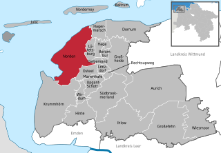
Aurich (Landkreis Aurich)
Includes regions:


Aurich
- town in Lower Saxony, Germany
- Country:

- Postal Code: 26603–26607
- Local Dialing Code: 04941
- Licence Plate Code: AUR
- Coordinates: 53° 28' 17" N, 7° 29' 1" E


- GPS tracks (wikiloc): [Link]
- AboveSeaLevel: 4 м m
- Area: 197.21 sq km
- Population: 41793
- Web site: [Link]
Details...
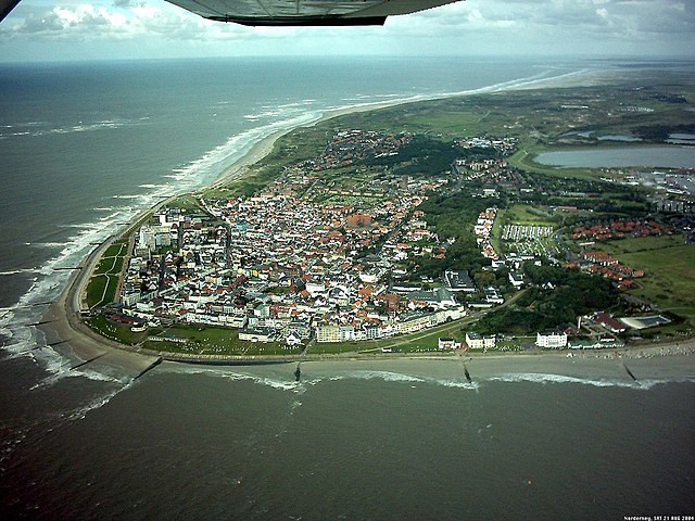

Norderney
- municipality and island in the German North Sea
- Country:
- Postal Code: 26548
- Local Dialing Code: 04932
- Licence Plate Code: AUR
- Coordinates: 53° 42' 26" N, 7° 8' 49" E
- GPS tracks (wikiloc): [Link]
- AboveSeaLevel: 5 м m
- Area: 26.29 sq km
- Population: 5875
- Web site: [Link]
Details...

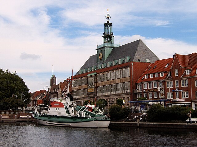
Norden
- municipality in Aurich district, Lower Saxony, Germany
- Country:
- Postal Code: 26506
- Local Dialing Code: 04931
- Coordinates: 53° 35' 48" N, 7° 12' 20" E
- GPS tracks (wikiloc): [Link]
- AboveSeaLevel: 7 м m
- Area: 104.39 sq km
- Population: 25056
- Web site: [Link]
Details...
Shares border with regions:

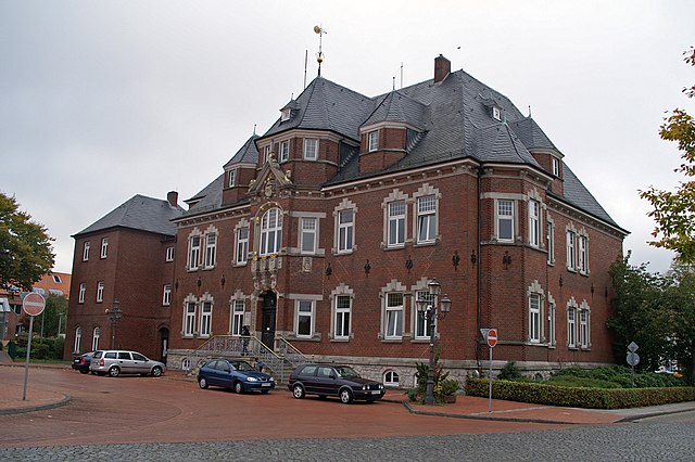
Emden
- biggest city in East Friesland, Lower Saxony, Germany
- Country:
- Postal Code: 26725; 26723; 26721
- Local Dialing Code: 04924; 04927; 04921
- Licence Plate Code: EMD
- Coordinates: 53° 22' 1" N, 7° 12' 22" E
- GPS tracks (wikiloc): [Link]
- AboveSeaLevel: 1 м m
- Area: 112.34 sq km
- Population: 50486
- Web site: [Link]
Details...

Wittmund
- district in Lower Saxony, Germany
- Country:
- Licence Plate Code: WTM
- Coordinates: 53° 34' 48" N, 7° 45' 0" E
- GPS tracks (wikiloc): [Link]
- AboveSeaLevel: 1 м m
- Area: 656.65 sq km
- Population: 56881
- Web site: [Link]
Details...


Leer
- district in Lower Saxony, Germany
- Country:
- Licence Plate Code: LER
- Coordinates: 53° 15' 0" N, 7° 30' 0" E
- GPS tracks (wikiloc): [Link]
- AboveSeaLevel: 1 м m
- Area: 1086.00 sq km
- Population: 168253
- Web site: [Link]
Details...

