
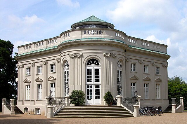
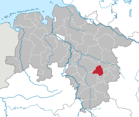
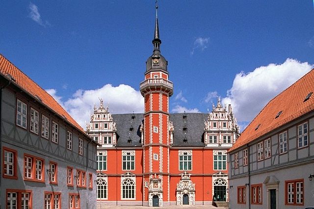
Brunswick (Braunschweig)
- city in Lower Saxony, Germany
- Country:

- Postal Code: 38114; 38126; 38100; 38100–38126
- Local Dialing Code: 05341; 0531; 05309; 05307; 05300
- Licence Plate Code: BS
- Coordinates: 52° 16' 9" N, 10° 31' 16" E


- GPS tracks (wikiloc): [Link]
- AboveSeaLevel: 75 м m
- Area: 192.70 sq km
- Population: 248667
- Web site: https://www.braunschweig.de/
- Wikipedia en: wiki(en)
- Wikipedia: wiki(de)
- Wikidata storage: Wikidata: Q2773
- Wikipedia Commons Gallery: [Link]
- Wikipedia Commons Category: [Link]
- Wikipedia Commons Maps Category: [Link]
Includes regions:

Heidberg-Melverode
- district of Brunswick, Germany
- Country:
- Postal Code: 38122; 38124
- Coordinates: 52° 13' 50" N, 10° 31' 56" E
- GPS tracks (wikiloc): [Link]
Details...


Weststadt
- district of Brunswick, Germany
- Country:
- Postal Code: 38122; 38120
- Local Dialing Code: 0531
- Coordinates: 52° 14' 56" N, 10° 29' 10" E
- GPS tracks (wikiloc): [Link]
- Area: 6.793 sq km
Details...


Hondelage
- urban district of Brunswick, Germany
- Country:
- Postal Code: 38118; 38110
- Local Dialing Code: 05309
- Coordinates: 52° 18' 52" N, 10° 36' 15" E
- GPS tracks (wikiloc): [Link]
- AboveSeaLevel: 75 м m
Details...

Innenstadt
- district of Brunswick, Germany
- Country:
- Postal Code: 38114; 38118; 38100
- Coordinates: 52° 15' 51" N, 10° 31' 18" E
- GPS tracks (wikiloc): [Link]
Details...

Lehndorf-Watenbüttel
- district of Brunswick, Germany
- Country:
- Postal Code: 38114; 38112; 38116
- Coordinates: 52° 17' 0" N, 10° 27' 45" E
- GPS tracks (wikiloc): [Link]
- Area: 27.35 sq km
Details...

Nordstadt
- district of Brunswick, Germany
- Country:
- Postal Code: 38106; 38112; 38114
- Coordinates: 52° 17' 6" N, 10° 31' 27" E
- GPS tracks (wikiloc): [Link]
Details...

Rüningen
- district of Brunswick, Germany
- Country:
- Postal Code: 38122
- Local Dialing Code: 0531
- Coordinates: 52° 13' 19" N, 10° 30' 10" E
- GPS tracks (wikiloc): [Link]
- AboveSeaLevel: 76 м m
Details...


Schunteraue
- district of Brunswick, Germany
- Country:
- Postal Code: 38108
- Local Dialing Code: 0531
- Coordinates: 52° 18' 0" N, 10° 32' 18" E
- GPS tracks (wikiloc): [Link]
- AboveSeaLevel: 70 м m
Details...

Stöckheim-Leiferde
- district of Brunswick, Germany
- Country:
- Postal Code: 38122; 38124
- Coordinates: 52° 12' 31" N, 10° 30' 57" E
- GPS tracks (wikiloc): [Link]
- AboveSeaLevel: 75 м m
- Area: 10.41 sq km
Details...

Südstadt-Rautheim-Mascherode
- district of Brunswick, Germany
- Country:
- Postal Code: 38126
- Coordinates: 52° 14' 7" N, 10° 34' 7" E
- GPS tracks (wikiloc): [Link]
Details...

Watenbüttel-Ölper-Völkenrode
- former urban district of Braunschweig
- Country:
Details...

Timmerlah-Geitelde-Stiddien
- district in Brunswick, Germany
- Country:
- Postal Code: 38120; 38122
- Coordinates: 52° 13' 27" N, 10° 27' 29" E
- GPS tracks (wikiloc): [Link]
Details...

Veltenhof-Rühme
- district of Brunswick, Germany
- Country:
- Postal Code: 38112
- Coordinates: 52° 18' 18" N, 10° 30' 23" E
- GPS tracks (wikiloc): [Link]
Details...

Viewegsgarten-Bebelhof
- district of Brunswick, Germany
- Country:
- Postal Code: 38104; 38126; 38124; 38122; 38102; 38100
- Coordinates: 52° 15' 3" N, 10° 32' 48" E
- GPS tracks (wikiloc): [Link]
- Area: 6.71 sq km
Details...

Volkmarode
- urban district of Brunswick, Germany
- Country:
- Postal Code: 38104; 38118
- Coordinates: 52° 17' 18" N, 10° 35' 42" E
- GPS tracks (wikiloc): [Link]
Details...
Wabe-Schunter
- former urban district of Braunschweig
- Country:
- Coordinates: 52° 16' 46" N, 10° 34' 14" E
- GPS tracks (wikiloc): [Link]
Details...

Wabe-Schunter-Beberbach
- urban district of Brunswick, Germany
- Country:
- Postal Code: 38104; 38110; 38118
- Coordinates: 52° 16' 50" N, 10° 33' 37" E
- GPS tracks (wikiloc): [Link]
- Area: 30.568 sq km
Details...

Wenden-Thune-Harxbüttel
- district of Brunswick, Germany
- Country:
- Postal Code: 38110
- Coordinates: 52° 20' 1" N, 10° 30' 9" E
- GPS tracks (wikiloc): [Link]
Details...
Westliches Ringgebiet
- district of Brunswick, Germany
- Country:
- Postal Code: 38116; 38114; 38120; 38118; 38122
- Coordinates: 52° 15' 9" N, 10° 30' 22" E
- GPS tracks (wikiloc): [Link]
Details...

Östliches Ringgebiet
- district of Brunswick, Germany
- Country:
- Postal Code: 38102; 38106; 38104
- Coordinates: 52° 16' 9" N, 10° 32' 33" E
- GPS tracks (wikiloc): [Link]
Details...


Bienrode
- district of Braunschweig
- Country:
- Postal Code: 38110
- Local Dialing Code: 05307
- Coordinates: 52° 19' 1" N, 10° 31' 45" E
- GPS tracks (wikiloc): [Link]
- AboveSeaLevel: 71 м m
Details...
Bienrode-Waggum-Bevenrode
- former urban district of Braunschweig
- Country:
- Coordinates: 52° 19' 15" N, 10° 34' 1" E
- GPS tracks (wikiloc): [Link]
Details...


Broitzem
- district of Brunswick, Germany
- Country:
- Postal Code: 38122
- Local Dialing Code: 0531
- Coordinates: 52° 14' 4" N, 10° 28' 51" E
- GPS tracks (wikiloc): [Link]
- AboveSeaLevel: 84 м m
- Population: 6073
Details...
Shares border with regions:
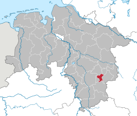
Salzgitter
- independent city in southeast Lower Saxony, Germany
- Country:
- Postal Code: 38239; 38229; 38228; 38259; 38226
- Local Dialing Code: 05339; 05300; 05341
- Licence Plate Code: SZ
- Coordinates: 52° 9' 13" N, 10° 24' 21" E
- GPS tracks (wikiloc): [Link]
- AboveSeaLevel: 90 м m
- Area: 224.49 sq km
- Population: 104614
- Web site: [Link]
Details...


Vordorf
- A district and municipality in Germany
- Country:
- Postal Code: 38533
- Local Dialing Code: 05304
- Licence Plate Code: GF
- Coordinates: 52° 22' 0" N, 10° 31' 0" E
- GPS tracks (wikiloc): [Link]
- AboveSeaLevel: 83 м m
- Area: 19.26 sq km
- Population: 3032
- Web site: [Link]
Details...
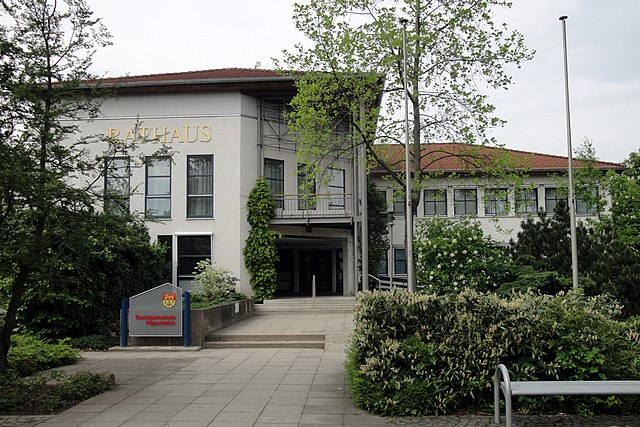

Papenteich
- Joint municipality in Lower Saxony, Germany
- Country:
- Licence Plate Code: GF
- Coordinates: 52° 23' 0" N, 10° 32' 0" E
- GPS tracks (wikiloc): [Link]
- Area: 100.85 sq km
- Population: 24628
- Web site: [Link]
Details...


Meine
- A district and municipality of Germany
- Country:
- Postal Code: 38527
- Local Dialing Code: 05307; 05304
- Licence Plate Code: GF
- Coordinates: 52° 23' 0" N, 10° 32' 0" E
- GPS tracks (wikiloc): [Link]
- AboveSeaLevel: 79 м m
- Area: 38.74 sq km
- Population: 8744
- Web site: [Link]
Details...


Schwülper
- Municipality of Germany
- Country:
- Postal Code: 38179
- Local Dialing Code: 0531; 05303
- Licence Plate Code: GF
- Coordinates: 52° 20' 49" N, 10° 27' 3" E
- GPS tracks (wikiloc): [Link]
- AboveSeaLevel: 64 м m
- Area: 20.90 sq km
- Population: 7322
- Web site: [Link]
Details...


Vechelde
- German municipality
- Country:
- Postal Code: 38159
- Local Dialing Code: 05302; 05300
- Licence Plate Code: PE
- Coordinates: 52° 15' 37" N, 10° 21' 54" E
- GPS tracks (wikiloc): [Link]
- AboveSeaLevel: 74 м m
- Area: 75.89 sq km
- Population: 17071
- Web site: [Link]
Details...


Wendeburg
- municipality of Germany
- Country:
- Postal Code: 38176
- Local Dialing Code: 05171; 05302; 05303
- Licence Plate Code: PE
- Coordinates: 52° 19' 0" N, 10° 24' 0" E
- GPS tracks (wikiloc): [Link]
- AboveSeaLevel: 67 м m
- Area: 60.02 sq km
- Population: 10880
- Web site: [Link]
Details...
Wolfenbüttel
- district in southeastern Lower Saxony, Germany
- Country:
- Licence Plate Code: WF
- Coordinates: 52° 10' 0" N, 10° 35' 0" E
- GPS tracks (wikiloc): [Link]
- AboveSeaLevel: 87 м m
- Area: 722.33 sq km
- Population: 120904
- Web site: [Link]
Details...

Peine
- district of Lower Saxony, Germany
- Country:
- Capital: Peine
- Licence Plate Code: PE
- Coordinates: 52° 19' 48" N, 10° 15' 0" E
- GPS tracks (wikiloc): [Link]
- AboveSeaLevel: 66 м m
- Area: 535.00 sq km
- Population: 132979
- Web site: [Link]
Details...

Helmstedt
- district of Lower Saxony, Germany
- Country:
- Licence Plate Code: HE
- Coordinates: 52° 15' 0" N, 10° 55' 12" E
- GPS tracks (wikiloc): [Link]
- AboveSeaLevel: 142 м m
- Area: 674.00 sq km
- Population: 92079
- Web site: [Link]
Details...


Gifhorn
- district of Lower Saxony, Germany
- Country:
- Capital: Gifhorn
- Licence Plate Code: GF
- Coordinates: 52° 29' 0" N, 10° 33' 0" E
- GPS tracks (wikiloc): [Link]
- AboveSeaLevel: 63 м m
- Area: 1563.00 sq km
- Population: 174749
- Web site: [Link]
Details...


