Эглён (Aiglun, Aiglun)

- коммуна во Франции, департамент Приморские Альпы
 Hiking in Эглён
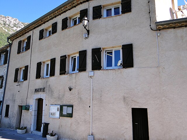
Aiglun, located in the Alpes-Maritimes region of France, offers a unique and picturesque hiking experience. This charming village is perched at a high altitude in the foothills of the French Alps, providing stunning vistas of the surrounding mountains and valleys.
Hiking Trails
-
Panoramic Views: Several trails around Aiglun provide breathtaking panoramic views of the Var Valley and the nearby mountain ranges. The elevation changes along these trails can be moderate to challenging, depending on your chosen route.
-
GR trails: The region is intersected by some Grande Randonnée (GR) trails, which are long-distance hiking routes marked with red and white stripes. These trails generally lead you through diverse landscapes, from lush forests to rocky terrains.
-
Local Routes: There are also shorter, well-maintained local trails suitable for families and casual hikers. These trails often take you through quaint villages and past historical sites.
Things to Consider
-
Weather: The weather can vary significantly, so it's essential to check forecasts and dress in layers. Summer months may offer warm temperatures, while higher altitudes can be chilly even in July and August.
-
Footwear: Sturdy hiking boots are recommended for the rocky and sometimes steep terrain, especially if you plan to tackle more challenging routes.
-
Safety: Always carry adequate water, snacks, a map, and a first-aid kit. It’s a good idea to inform someone about your hiking plans before setting out.
Accessibility
Aiglun is accessible by car, and there’s parking available in the village. Public transport options may be limited, so it’s advisable to arrange for transportation if you’re coming from larger towns.
Accommodation
Whether you choose to stay in Aiglun or nearby towns, you can find various accommodation options, including gîtes, small hotels, and guesthouses.
Flora and Fauna
As you hike, keep an eye out for local wildlife and the diverse flora that includes various alpine plants and flowers. The region is rich in biodiversity, making it an excellent spot for nature enthusiasts and photographers.
Conclusion
Hiking in Aiglun provides a wonderful opportunity to explore the natural beauty of the Alpes-Maritimes while enjoying a range of trails suited to different skill levels. Whether you’re looking for a challenging hike or a leisurely stroll through nature, Aiglun has something to offer every adventurer.
- Страна:

- Почтовый код: 06910
- Координаты: 43° 51' 27" N, 6° 54' 52" E


- GPS треки (wikiloc): [Ссылка]
- Площадь: 15.37 кв.км
- Население: 86
- Веб сайт: http://www.ville-aiglun.fr
- Википедия русская: wiki(ru)
- Википедия английская: wiki(en)
- Википедия национальная: wiki(fr)
- Хранилище Wikidata: Wikidata: Q763468
- Катеория в википедии: [Ссылка]
- код Freebase: [/m/03m4z2v]
- код Freebase: [/m/03m4z2v]
- код GeoNames: Альт: [6618157]
- код GeoNames: Альт: [6618157]
- номер SIREN: [210600011]
- номер SIREN: [210600011]
- код муниципалитета INSEE: 06001
- код муниципалитета INSEE: 06001
Граничит с регионами:


Сигаль
- коммуна в департаменте Приморские Альпы, регион Прованс — Альпы — Лазурный Берег, Франция
Hiking in Сигаль
Sigale is a charming village located in the Alpes-Maritimes department of France, in the Provence-Alpes-Côte d'Azur region. It is nestled in the beautiful hills of the Southern French Alps, which makes it an excellent destination for hiking enthusiasts....
- Страна:
- Почтовый код: 06910
- Координаты: 43° 52' 20" N, 6° 57' 52" E
- GPS треки (wikiloc): [Ссылка]
- Площадь: 5.62 кв.км
- Население: 203


Греольер
- коммуна в департаменте Приморские Альпы, регион Прованс — Альпы — Лазурный Берег, Франция
Hiking in Греольер
Gréolières is a charming village located in the Alpes-Maritimes region of France, in the foothills of the French Alps, and is known for its stunning landscapes and excellent hiking opportunities. Here are some details that could enhance your hiking experience in the area:...
- Страна:
- Почтовый код: 06620
- Координаты: 43° 47' 45" N, 6° 56' 37" E
- GPS треки (wikiloc): [Ссылка]
- Площадь: 52.67 кв.км
- Население: 606
- Веб сайт: [Ссылка]

Рокестерон-Грас
- коммуна в департаменте Приморские Альпы, регион Прованс — Альпы — Лазурный Берег, Франция
Hiking in Рокестерон-Грас
La Roque-en-Provence is a small village located in the beautiful Vaucluse region of southeastern France, renowned for its stunning landscapes and excellent hiking opportunities. Nestled near the Luberon Mountains and surrounded by picturesque countryside, it offers a perfect backdrop for outdoor enthusiasts....
- Страна:
- Почтовый код: 06910
- Координаты: 43° 52' 15" N, 7° 0' 18" E
- GPS треки (wikiloc): [Ссылка]
- Площадь: 23.98 кв.км
- Население: 77

Ле-Мюжуль
- коммуна в департаменте Приморские Альпы, регион Прованс — Альпы — Лазурный Берег, Франция
Hiking in Ле-Мюжуль
Les Mujouls is a picturesque region located in the French Alps, specifically within the larger Vercors Massif area, which is known for its stunning landscapes, rich biodiversity, and outdoor recreational opportunities. Hiking in Les Mujouls offers a chance to explore the rugged terrain, ancient forests, and impressive rock formations, making it a favorite destination for both casual walkers and veteran hikers....
- Страна:
- Почтовый код: 06910
- Координаты: 43° 53' 1" N, 6° 51' 37" E
- GPS треки (wikiloc): [Ссылка]
- Площадь: 14.55 кв.км
- Население: 47

Ле-Ма
- коммуна в департаменте Приморские Альпы, регион Прованс — Альпы — Лазурный Берег, Франция
Hiking in Ле-Ма
Le Mas, located in the beautiful region of Provence in southern France, offers a variety of hiking opportunities that showcase the area's stunning landscapes, charming villages, and rich cultural heritage. Here are some highlights and tips for hiking in Le Mas:...
- Страна:
- Почтовый код: 06910
- Координаты: 43° 50' 35" N, 6° 51' 30" E
- GPS треки (wikiloc): [Ссылка]
- Площадь: 32.15 кв.км
- Население: 158
- Веб сайт: [Ссылка]


Салагриффон
- коммуна в департаменте Приморские Альпы, регион Прованс — Альпы — Лазурный Берег, Франция
Hiking in Салагриффон
Sallagriffon is not widely recognized as a well-known hiking destination. However, if you meant a specific area or region, I’d be happy to provide information about hiking in that location!...
- Страна:
- Почтовый код: 06910
- Координаты: 43° 53' 0" N, 6° 54' 26" E
- GPS треки (wikiloc): [Ссылка]
- Высота над уровнем моря: 720 м m
- Площадь: 9.59 кв.км
- Население: 45