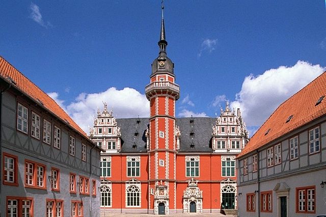
Бёрде (Börde, Landkreis Börde)

 Hiking in Бёрде
Börde is a district in the state of Saxony-Anhalt, Germany, known for its picturesque landscapes, agricultural land, and historic towns. While it may not be as widely recognized as some other hiking destinations in Germany, it offers a variety of natural features and trails that can appeal to hikers looking for a more tranquil experience.
Hiking Highlights in Börde District:
-
Scenic Landscapes: The Börde district is characterized by its rolling hills, open fields, and beautiful woodlands. This diverse terrain makes it suitable for various hiking trails that range from easy walks to more challenging hikes.
-
Nature Reserves: The region is home to several nature reserves and parks, where you can explore diverse ecosystems and enjoy birdwatching and wildlife observation.
-
Historic Towns: Hiking routes often connect you to charming towns and villages, such as Oschersleben and Wolmirstedt, where you can experience local culture, visit historic sites, and enjoy regional cuisine.
-
Trails: There are various marked trails in the region that cater to different skill levels. Some popular options include local circular trails that provide a glimpse into the beauty of the Börde landscape and allow for flexible hiking distances.
-
Climate: The region has a temperate climate with warm summers and mild winters, making it suitable for hiking throughout much of the year. Spring is particularly beautiful with blooming wildflowers.
Tips for Hiking in Börde:
- Plan Your Route: Before heading out, check trail maps and plan your route according to your fitness level and timeframe.
- Dress Appropriately: Wear comfortable, weather-appropriate clothing and sturdy hiking shoes, especially if you plan on covering longer distances.
- Stay Hydrated and Energized: Bring plenty of water and snacks to keep your energy up during your hike.
- Local Resources: Consider reaching out to local tourism offices for information on guided hikes, trail maps, and recommended paths.
- Respect Nature: Follow Leave No Trace principles by staying on marked trails, disposing of waste properly, and respecting wildlife.
Hiking in the Börde district can provide a refreshing escape while allowing you to enjoy the beauty of rural Germany. Whether you're a seasoned hiker or just looking for a leisurely stroll, there are options available to suit your needs.
- Страна:

- Код автомобильного номера: WZL; WMS; OK; OC; HDL; BÖ; BK
- Координаты: 52° 10' 0" N, 11° 20' 0" E


- GPS треки (wikiloc): [Ссылка]
- Высота над уровнем моря: 172 м m
- Площадь: 2366.00 кв.км
- Население: 174001
- Веб сайт: http://www.boerdekreis.de/
- Википедия русская: wiki(ru)
- Википедия английская: wiki(en)
- Википедия национальная: wiki(de)
- Хранилище Wikidata: Wikidata: Q6064
- Катеория в википедии: [Ссылка]
- код Freebase: [/m/02vmpr_]
- код GeoNames: Альт: [3302159]
- код VIAF: Альт: [149947966]
- ID отношения в OpenStreetMap: [62359]
- код GND: Альт: [7642061-9]
- идентификатор местоположения ArchINFORM: [14593]
- код LCNAF: Альт: [no2009017593]
- код NUTS: [DEE07]
- код района Германии: 15083
Граничит с регионами:
Вольфенбюттель
- район Нижней Саксонии, Германия
Hiking in Вольфенбюттель
Wolfenbüttel is a beautiful district located in Lower Saxony, Germany, known for its picturesque landscapes, historic towns, and a variety of outdoor activities, including hiking. Here are some key points about hiking in the Wolfenbüttel district:...
- Страна:
- Код автомобильного номера: WF
- Координаты: 52° 10' 0" N, 10° 35' 0" E
- GPS треки (wikiloc): [Ссылка]
- Высота над уровнем моря: 87 м m
- Площадь: 722.33 кв.км
- Население: 120904
- Веб сайт: [Ссылка]

Хельмштедт
Hiking in Хельмштедт
Helmstedt is a district located in Lower Saxony, Germany, and is known for its beautiful natural landscapes and varied hiking opportunities. The region combines cultural heritage with outdoor activities, making it an appealing destination for hikers of all skill levels. Here are some highlights and features of hiking in Helmstedt:...
- Страна:
- Код автомобильного номера: HE
- Координаты: 52° 15' 0" N, 10° 55' 12" E
- GPS треки (wikiloc): [Ссылка]
- Высота над уровнем моря: 142 м m
- Площадь: 674.00 кв.км
- Население: 92079
- Веб сайт: [Ссылка]


Гифхорн
- район в земле Нижняя Саксония (Германия)
Hiking in Гифхорн
Gifhorn, located in Lower Saxony, Germany, is surrounded by beautiful landscapes that offer a variety of hiking opportunities. The district is characterized by its picturesque lakes, forests, and gentle hills, making it an attractive destination for hikers of all skill levels....
- Страна:
- Столица: Гифхорн
- Код автомобильного номера: GF
- Координаты: 52° 29' 0" N, 10° 33' 0" E
- GPS треки (wikiloc): [Ссылка]
- Высота над уровнем моря: 63 м m
- Площадь: 1563.00 кв.км
- Население: 174749
- Веб сайт: [Ссылка]