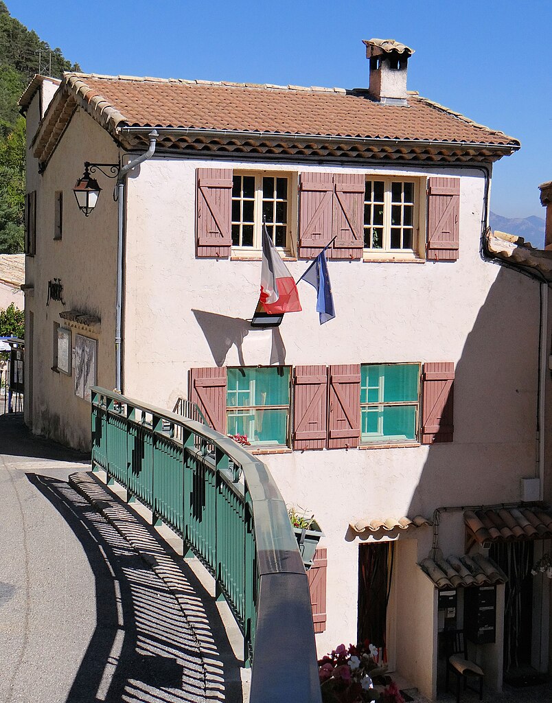
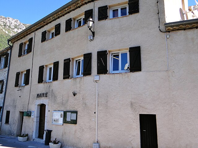
Гар (Gars, Gars)
- коммуна в департаменте Приморские Альпы, регион Прованс — Альпы — Лазурный Берег, Франция
 Hiking in Гар
Gars is a picturesque village located in the Alpes-Maritimes region of southern France, nestled in the Pre-Alps near the Verdon Gorge. It offers numerous hiking opportunities that cater to various skill levels, making it a delightful destination for outdoor enthusiasts.
Key Hiking Areas and Trails:
-
Local Trails: Gars has several well-marked trails that take you through stunning landscapes, including forests, meadows, and rocky terrains. The trails often lead to magnificent viewpoints overlooking the surrounding mountains and valleys.
-
GR 51 (Grande Randonnée): This scenic long-distance hiking trail runs close to Gars and offers some breathtaking views of the region. This route allows hikers to explore the Mediterranean influence of the area, passing through charming villages and diverse ecosystems.
-
The Gorges du Loup: Located not too far from Gars, this area provides a range of hiking options with breathtaking views of the gorges and waterfalls. It's a great spot for both hiking and photography.
-
Exploration of the Surrounding Nature: The natural diversity around Gars includes olive groves, vineyards, and diverse flora and fauna, making it a great place for nature lovers. Birdwatching and wildflower spotting can also be enjoyed on many trails.
Tips for Hiking in Gars:
-
Weather Conditions: Always check the local weather before heading out. Mountain weather can change rapidly, so it's wise to be prepared for varying conditions.
-
Proper Gear: Wear sturdy hiking shoes, and consider bringing trekking poles for more challenging trails. Layering clothing can help manage temperature changes throughout the day.
-
Hydration and Snacks: Carry enough water and some high-energy snacks, particularly if you’re planning a long hike.
-
Navigation: While many trails are marked, having a map or a GPS device can be helpful. Some areas might not have phone service, so it's good to have a physical map as a backup.
-
Respect Nature: Follow the Leave No Trace principles to ensure the beauty of Gars remains intact for future visitors. Stay on marked trails, pack out your trash, and respect wildlife.
Conclusion:
Hiking in Gars offers an excellent opportunity to explore the natural beauty of the Alpes-Maritimes, immerse yourself in the region's tranquility, and enjoy a variety of outdoor experiences. Whether you're a seasoned hiker or a beginner, you'll find trails that fit your level and provide memorable adventures.
- Страна:

- Почтовый код: 06850
- Координаты: 43° 51' 55" N, 6° 48' 13" E


- GPS треки (wikiloc): [Ссылка]
- Площадь: 15.57 кв.км
- Население: 71
- Википедия русская: wiki(ru)
- Википедия английская: wiki(en)
- Википедия национальная: wiki(fr)
- Хранилище Wikidata: Wikidata: Q732974
- Катеория в википедии: [Ссылка]
- код Freebase: [/m/03m5b2k]
- код Freebase: [/m/03m5b2k]
- код GeoNames: Альт: [6446707]
- код GeoNames: Альт: [6446707]
- номер SIREN: [210600631]
- номер SIREN: [210600631]
- код муниципалитета INSEE: 06063
- код муниципалитета INSEE: 06063
Граничит с регионами:

Амира
- коммуна в департаменте Приморские Альпы, регион Прованс — Альпы — Лазурный Берег, Франция
Hiking in Амира
Amirat, located near Muscat in Oman, is a great destination for hiking enthusiasts. The region is characterized by its stunning mountainous landscapes, traditional Omani villages, and a rich culture. Here are some highlights and tips for hiking in Amirat:...
- Страна:
- Почтовый код: 06910
- Координаты: 43° 53' 26" N, 6° 49' 27" E
- GPS треки (wikiloc): [Ссылка]
- Площадь: 12.95 кв.км
- Население: 74
- Веб сайт: [Ссылка]

Сент-Обан
- коммуна в департаменте Приморские Альпы, регион Прованс — Альпы — Лазурный Берег, Франция
Hiking in Сент-Обан
Saint-Auban is a charming village located in the Alpes-Maritimes department in southeastern France, known for its beautiful landscapes and diverse hiking opportunities. The area offers various trails that cater to different skill levels, making it a perfect destination for both novice and experienced hikers....
- Страна:
- Почтовый код: 06850
- Координаты: 43° 50' 54" N, 6° 43' 35" E
- GPS треки (wikiloc): [Ссылка]
- Высота над уровнем моря: 1150 м m
- Площадь: 42.54 кв.км
- Население: 233


Бриансонне
- коммуна в департаменте Приморские Альпы, регион Прованс — Альпы — Лазурный Берег, Франция
Hiking in Бриансонне
Briançonnet is a picturesque village located in the Alpes-Maritimes region of France, known for its stunning natural scenery and diverse hiking opportunities. Nestled in the foothills of the Alps, Briançonnet offers a range of trails that cater to different skill levels, making it an excellent destination for both beginner and experienced hikers....
- Страна:
- Почтовый код: 06850
- Координаты: 43° 51' 55" N, 6° 45' 28" E
- GPS треки (wikiloc): [Ссылка]
- Площадь: 24.32 кв.км
- Население: 226

Ле-Мюжуль
- коммуна в департаменте Приморские Альпы, регион Прованс — Альпы — Лазурный Берег, Франция
Hiking in Ле-Мюжуль
Les Mujouls is a picturesque region located in the French Alps, specifically within the larger Vercors Massif area, which is known for its stunning landscapes, rich biodiversity, and outdoor recreational opportunities. Hiking in Les Mujouls offers a chance to explore the rugged terrain, ancient forests, and impressive rock formations, making it a favorite destination for both casual walkers and veteran hikers....
- Страна:
- Почтовый код: 06910
- Координаты: 43° 53' 1" N, 6° 51' 37" E
- GPS треки (wikiloc): [Ссылка]
- Площадь: 14.55 кв.км
- Население: 47

Ле-Ма
- коммуна в департаменте Приморские Альпы, регион Прованс — Альпы — Лазурный Берег, Франция
Hiking in Ле-Ма
Le Mas, located in the beautiful region of Provence in southern France, offers a variety of hiking opportunities that showcase the area's stunning landscapes, charming villages, and rich cultural heritage. Here are some highlights and tips for hiking in Le Mas:...
- Страна:
- Почтовый код: 06910
- Координаты: 43° 50' 35" N, 6° 51' 30" E
- GPS треки (wikiloc): [Ссылка]
- Площадь: 32.15 кв.км
- Население: 158
- Веб сайт: [Ссылка]