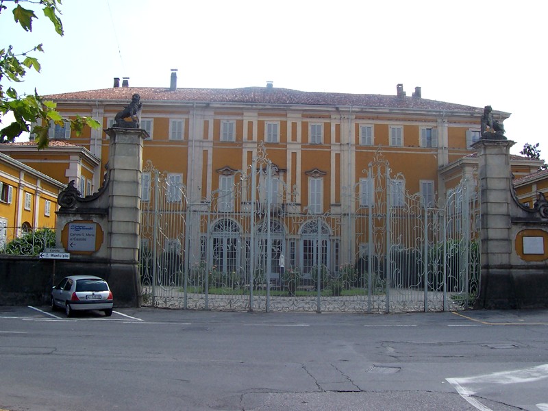
Джессате (Gessate, Gessate)
.svg)
- коммуна Италии
 Hiking in Джессате
Gessate, located in the Lombardy region of Italy, is a great starting point for exploring the surrounding beautiful landscapes, particularly the Orobie Alps. It offers various hiking opportunities suitable for different skill levels.
Popular Hiking Trails:
-
Sentiero dei Fiori: This is a scenic trail that showcases the diverse flora of the region. It's a relatively easy hike and suitable for families.
-
Canto Alto: This hike leads to the summit of Canto Alto, offering panoramic views of the surrounding valleys and mountains. It's a moderate to challenging hike, requiring a good level of fitness.
-
Colma di Sormano: A longer hike that can be started from Gessate, leading through beautiful forests and fields. The trail provides stunning views and is great for experienced hikers.
Tips for Hiking in Gessate:
-
Season: The best time for hiking in this area is typically from late spring to early autumn when the weather is milder and the trails are more accessible.
-
Gear: Ensure you have appropriate hiking gear, including sturdy boots, weather-appropriate clothing, and sufficient water and snacks.
-
Navigation: While many trails are well-marked, it's a good idea to carry a map or a GPS device.
-
Safety: Always inform someone about your hiking plans and expected return time, especially if embarking on more challenging trails.
Local Amenities:
Gessate has various amenities, including restaurants and accommodations, making it convenient for those looking to explore the area over a few days. After your hike, consider trying some local cuisine or enjoying the scenic views from nearby vantage points.
Overall, Gessate offers a great blend of nature, adventure, and Italian charm, perfect for hiking enthusiasts!
- Страна:

- Почтовый код: 20060
- Телефонный код: 02
- Код автомобильного номера: MI
- Координаты: 45° 33' 0" N, 9° 26' 0" E


- GPS треки (wikiloc): [Ссылка]
- Высота над уровнем моря: 144 м m
- Площадь: 7.76 кв.км
- Население: 8897
- Веб сайт: http://www.comune.gessate.mi.it
- Википедия русская: wiki(ru)
- Википедия английская: wiki(en)
- Википедия национальная: wiki(it)
- Хранилище Wikidata: Wikidata: Q42993
- Галерея изображений в википедии: [Ссылка]
- Катеория в википедии: [Ссылка]
- код Freebase: [/m/0gj61g]
- код GeoNames: Альт: [6542926]
- ID отношения в OpenStreetMap: [45294]
- UN/LOCODE: [ITGST]
- код ISTAT: 015106
- кадастровый код Италии: D995
Граничит с регионами:


Беллинцаго-Ломбардо
- коммуна Италии
Hiking in Беллинцаго-Ломбардо
Bellinzago Lombardo is a charming town in the Lombardy region of Italy, located near the Adda River, which offers a scenic backdrop for outdoor activities, including hiking. While there may not be extensive hiking trails directly within the town, there are several options in the surrounding areas that you can explore....
- Страна:
- Почтовый код: 20060
- Телефонный код: 02
- Код автомобильного номера: MI
- Координаты: 45° 32' 0" N, 9° 27' 0" E
- GPS треки (wikiloc): [Ссылка]
- Высота над уровнем моря: 129 м m
- Площадь: 4.59 кв.км
- Население: 3878
- Веб сайт: [Ссылка]


Камбьаго
- коммуна Италии
Hiking in Камбьаго
Cambiago is a small town located in the Lombardy region of Italy, not far from the bustling city of Milan. While it may not be widely known for extensive hiking trails, its proximity to the greater Lombardy area offers access to various scenic routes and natural landscapes. Here’s what you should know about hiking around Cambiago and nearby areas:...
- Страна:
- Почтовый код: 20040
- Телефонный код: 02
- Код автомобильного номера: MI
- Координаты: 45° 34' 0" N, 9° 25' 0" E
- GPS треки (wikiloc): [Ссылка]
- Площадь: 7.18 кв.км
- Население: 6906
- Веб сайт: [Ссылка]

Пессано-кон-Борнаго
- коммуна Италии
Hiking in Пессано-кон-Борнаго
Pessano con Bornago is a charming municipality located in the Lombardy region of Italy, near the metropolitan area of Milan. While it may not be as well-known for hiking as some other Italian locations, it offers a few opportunities for outdoor enthusiasts looking to explore the natural beauty of the area....
- Страна:
- Почтовый код: 20060
- Телефонный код: 02
- Код автомобильного номера: MI
- Координаты: 45° 33' 0" N, 9° 23' 0" E
- GPS треки (wikiloc): [Ссылка]
- Высота над уровнем моря: 150 м m
- Площадь: 6.66 кв.км
- Население: 9073
- Веб сайт: [Ссылка]


Мазате
- коммуна Италии
Hiking in Мазате
Hiking in Masate, a picturesque region in Guatemala, offers stunning landscapes, vibrant culture, and a range of trails suited for different skill levels. Here are some key points to help you plan your hiking adventure in Masate:...
- Страна:
- Почтовый код: 20060
- Телефонный код: 02
- Код автомобильного номера: MI
- Координаты: 45° 34' 0" N, 9° 28' 0" E
- GPS треки (wikiloc): [Ссылка]
- Высота над уровнем моря: 153 м m
- Площадь: 4.39 кв.км
- Население: 3477
- Веб сайт: [Ссылка]


Горгонцола
- коммуна Италии
Hiking in Горгонцола
Gorgonzola, located just outside of Milan, is primarily known for its famous cheese rather than being a hiking destination. However, if you're looking for hiking opportunities nearby, there are several natural areas and parks that offer great trails not too far from Gorgonzola....
- Страна:
- Почтовый код: 20064
- Телефонный код: 02
- Код автомобильного номера: MI
- Координаты: 45° 32' 0" N, 9° 24' 0" E
- GPS треки (wikiloc): [Ссылка]
- Высота над уровнем моря: 133 м m
- Площадь: 10.58 кв.км
- Население: 20412
- Веб сайт: [Ссылка]


Инцаго
- коммуна Италии
Hiking in Инцаго
Inzago is a small town located in the Lombardy region of northern Italy, within the Metropolitan City of Milan. While Inzago itself may not be a widely recognized hiking destination, it is surrounded by scenic areas that can offer opportunities for walking and hiking....
- Страна:
- Почтовый код: 20065
- Телефонный код: 02
- Код автомобильного номера: MI
- Координаты: 45° 32' 0" N, 9° 29' 0" E
- GPS треки (wikiloc): [Ссылка]
- Высота над уровнем моря: 137 м m
- Площадь: 12.21 кв.км
- Население: 10947
- Веб сайт: [Ссылка]