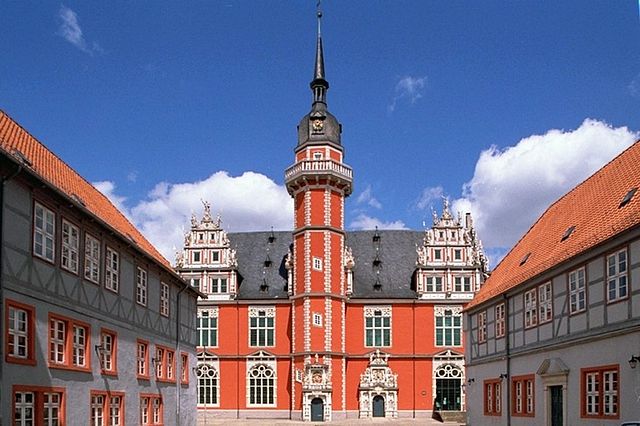
Гарц (Harz District, Landkreis Harz)

 Hiking in Гарц
The Harz district, located in central Germany, is a popular destination for hiking enthusiasts due to its stunning landscapes, rich history, and diverse range of trails. Here are some key points about hiking in the Harz region:
Natural Beauty
- Scenic Landscapes: The Harz is known for its lush forests, rolling hills, and rocky peaks. The highest point, the Brocken, reaches 1,141 meters and offers panoramic views.
- Biodiversity: The region is home to various flora and fauna, including rare species, making it a great place for nature lovers.
Hiking Trails
- Harzer Hexenstieg: This is a famous long-distance trail that stretches approximately 97 kilometers through the heart of the Harz, connecting the towns of Osterode and Thale. It features a mixture of forests, meadows, and historical sites.
- Brocken Trail: The path to the Brocken summit is well-marked and provides different routes, including an easy access trail from Schierke.
- Circular Trails: There are many short circular trails that are great for day hikes, some of which pass by famous sights such as the Wernigerode Castle or the picturesque town of Quedlinburg.
Accessibility and Facilities
- Trail Markings: The trails are well-marked and maintained, making navigation easier for hikers of all experience levels.
- Visitor Centers: Several visitor centers throughout the Harz provide maps, guidance, and information on local flora and fauna.
Activities
- Family-Friendly Hikes: Many trails are suitable for families and beginners, offering shorter distances and gentle inclines.
- Winter Hiking: In winter, certain trails are great for snowshoeing and winter hiking, adding a different charm to the landscape.
Tips for Hiking in the Harz
- Weather: The weather can be quite changeable, especially at higher altitudes like the Brocken, so layering and preparedness are recommended.
- Footwear: Wear sturdy, comfortable hiking boots suitable for uneven and rocky terrain.
- Hydration and Snacks: Always carry enough water and have some snacks to keep your energy levels up during the hike.
Overall, hiking in the Harz district offers a diverse experience, from serene forest paths to challenging mountain trails, making it a fantastic destination for both casual walkers and avid hikers. Whether you're exploring the legends of the region or simply enjoying the breathtaking views, there's something for everyone in the Harz.
- Страна:

- Код автомобильного номера: WR; QLB; HZ; HBS
- Координаты: 51° 49' 12" N, 10° 57' 36" E


- GPS треки (wikiloc): [Ссылка]
- Высота над уровнем моря: 243 м m
- Площадь: 2.10 кв.км
- Население: 223094
- Веб сайт: http://www.kreis-hz.de
- Википедия русская: wiki(ru)
- Википедия английская: wiki(en)
- Википедия национальная: wiki(de)
- Хранилище Wikidata: Wikidata: Q6087
- Катеория в википедии: [Ссылка]
- Карты в википедии: [Ссылка]
- код GeoNames: Альт: [2911664]
- код VIAF: Альт: [170043346]
- ID отношения в OpenStreetMap: [62429]
- код GND: Альт: [7641506-5]
- идентификатор местоположения ArchINFORM: [2201]
- код LCNAF: Альт: [no2011065973]
- код NUTS: [DEE09]
- код района Германии: 15085
Граничит с регионами:


Гослар
Hiking in Гослар
Goslar, located in Lower Saxony, Germany, is a beautiful area that offers a variety of hiking opportunities, particularly due to its proximity to the Harz Mountains. The district is known for its picturesque landscapes, medieval architecture, and rich history. Here are some highlights and suggestions for hiking in the Goslar district:...
- Страна:
- Столица: Гослар
- Код автомобильного номера: GS; CLZ; BRL
- Координаты: 51° 54' 38" N, 10° 25' 16" E
- GPS треки (wikiloc): [Ссылка]
- Высота над уровнем моря: 263 м m
- Площадь: 965.07 кв.км
- Население: 137979
- Веб сайт: [Ссылка]
Вольфенбюттель
- район Нижней Саксонии, Германия
Hiking in Вольфенбюттель
Wolfenbüttel is a beautiful district located in Lower Saxony, Germany, known for its picturesque landscapes, historic towns, and a variety of outdoor activities, including hiking. Here are some key points about hiking in the Wolfenbüttel district:...
- Страна:
- Код автомобильного номера: WF
- Координаты: 52° 10' 0" N, 10° 35' 0" E
- GPS треки (wikiloc): [Ссылка]
- Высота над уровнем моря: 87 м m
- Площадь: 722.33 кв.км
- Население: 120904
- Веб сайт: [Ссылка]

Хельмштедт
Hiking in Хельмштедт
Helmstedt is a district located in Lower Saxony, Germany, and is known for its beautiful natural landscapes and varied hiking opportunities. The region combines cultural heritage with outdoor activities, making it an appealing destination for hikers of all skill levels. Here are some highlights and features of hiking in Helmstedt:...
- Страна:
- Код автомобильного номера: HE
- Координаты: 52° 15' 0" N, 10° 55' 12" E
- GPS треки (wikiloc): [Ссылка]
- Высота над уровнем моря: 142 м m
- Площадь: 674.00 кв.км
- Население: 92079
- Веб сайт: [Ссылка]