Хендшикен (Hendschiken, Hendschiken)

 Hiking in Хендшикен
Hendschiken is a small municipality in the canton of Aargau, Switzerland, located near the Aare River and surrounded by picturesque landscapes. While it may not be a widely known hiking destination, there are certainly some lovely trails in the surrounding area that you can explore.
Hiking Options Near Hendschiken:
-
Local Trails: The area around Hendschiken offers a variety of local trails that can take you through charming countryside, forests, and alongside rivers. Look for marked paths that connect to nearby villages or natural landmarks.
-
Aare River: The banks of the Aare River offer a scenic setting for hiking. You can enjoy walking or cycling along the river and taking in the beautiful views of the water and surrounding landscapes.
-
Brugg–Windisch area: A short distance away from Hendschiken, the Brugg and Windisch areas feature well-maintained trails, including the historic Roman ruins and the scenic Reuss river paths.
-
Nature Reserves: Explore nearby nature reserves, which may have marked hiking routes. These areas often afford a chance to see local wildlife and unique flora.
-
Regional Trails: Consider connecting to regional hiking trails that traverse through Aargau. The Aargau Hiking Trail Network links various destinations and features a range of difficulty levels suitable for both beginners and experienced hikers.
Tips for Hiking in Hendschiken:
- Trail Maps: Bring a map or use a smartphone app to navigate the trails, as signage can vary in rural areas.
- Weather: Always check the weather before heading out, as conditions can change rapidly, especially in mountainous regions.
- Hydration: Carry enough water and snacks, especially on longer hikes.
- Footwear: Wear sturdy hiking shoes to navigate uneven terrain comfortably.
- Respect Nature: Stay on marked trails and be mindful of the local environment.
Before embarking on a hike, take some time to plan your route based on your fitness level and the time you have available. Hendschiken and its surroundings can provide a peaceful and enjoyable experience amidst nature!
- Страна:

- Почтовый код: 5604
- Телефонный код: 062
- Код автомобильного номера: AG
- Координаты: 47° 23' 4" N, 8° 12' 57" E


- GPS треки (wikiloc): [Ссылка]
- Высота над уровнем моря: 410 м m
- Площадь: 3.52 кв.км
- Население: 1227
- Веб сайт: http://www.hendschiken.ch
- Википедия русская: wiki(ru)
- Википедия английская: wiki(en)
- Википедия национальная: wiki(de)
- Хранилище Wikidata: Wikidata: Q65319
- Катеория в википедии: [Ссылка]
- код Freebase: [/m/0fzjyh]
- код GeoNames: Альт: [7286059]
- ID отношения в OpenStreetMap: [1684325]
- идентификатор HDS: [1763]
- код швейцарского муниципалитета: [4198]
Граничит с регионами:


Фильмерген
Hiking in Фильмерген
Villmergen, located in the Aargau region of Switzerland, offers a beautiful setting for hiking enthusiasts. While it's a small municipality, it provides access to scenic trails that showcase the charming landscapes of the Swiss countryside....
- Страна:
- Почтовый код: 5612
- Телефонный код: 056
- Код автомобильного номера: AG
- Координаты: 47° 21' 4" N, 8° 14' 28" E
- GPS треки (wikiloc): [Ссылка]
- Высота над уровнем моря: 433 м m
- Площадь: 11.94 кв.км
- Население: 7341
- Веб сайт: [Ссылка]


Доттикон
Hiking in Доттикон
Dottikon is a charming village located in the canton of Aargau, Switzerland. It sits at the foot of the Jura Mountains, providing access to beautiful hiking trails and scenic landscapes typical of this region. Here’s what you should know about hiking in and around Dottikon:...
- Страна:
- Почтовый код: 5605
- Телефонный код: 056
- Код автомобильного номера: AG
- Координаты: 47° 22' 50" N, 8° 14' 33" E
- GPS треки (wikiloc): [Ссылка]
- Высота над уровнем моря: 405 м m
- Площадь: 3.89 кв.км
- Население: 3873
- Веб сайт: [Ссылка]


Отмарзинген
Hiking in Отмарзинген
Othmarsingen, located in the Swiss Canton of Aargau, offers a range of hiking opportunities amidst beautiful landscapes. Here’s what you can expect when hiking in and around Othmarsingen:...
- Страна:
- Почтовый код: 5504
- Телефонный код: 062
- Код автомобильного номера: AG
- Координаты: 47° 24' 6" N, 8° 12' 53" E
- GPS треки (wikiloc): [Ссылка]
- Высота над уровнем моря: 393 м m
- Площадь: 4.71 кв.км
- Население: 2784
- Веб сайт: [Ссылка]

Динтикон
Hiking in Динтикон
Dintikon is a charming village located in the canton of Aargau, Switzerland. It offers picturesque landscapes and various hiking opportunities for outdoor enthusiasts. Here are some key points about hiking in and around Dintikon:...
- Страна:
- Почтовый код: 5606
- Телефонный код: 056
- Код автомобильного номера: AG
- Координаты: 47° 21' 54" N, 8° 13' 45" E
- GPS треки (wikiloc): [Ссылка]
- Высота над уровнем моря: 449 м m
- Площадь: 3.73 кв.км
- Население: 2192
- Веб сайт: [Ссылка]
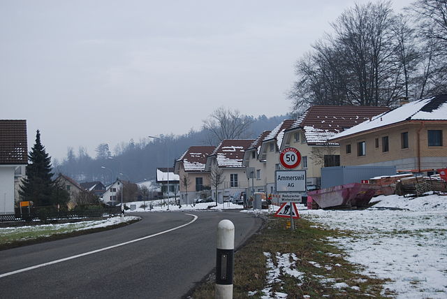

Аммерсвиль
Hiking in Аммерсвиль
Ammerswil is a small village located in the region of Aargau in Switzerland, known for its beautiful landscapes and access to outdoor activities, including hiking. While it may not be as famous as some of the larger Swiss hiking destinations, there are several opportunities for hiking in and around Ammerswil that you might find enjoyable....
- Страна:
- Почтовый код: 5600
- Телефонный код: 062
- Код автомобильного номера: AG
- Координаты: 47° 22' 5" N, 8° 12' 21" E
- GPS треки (wikiloc): [Ссылка]
- Высота над уровнем моря: 464 м m
- Площадь: 3.19 кв.км
- Население: 679
- Веб сайт: [Ссылка]