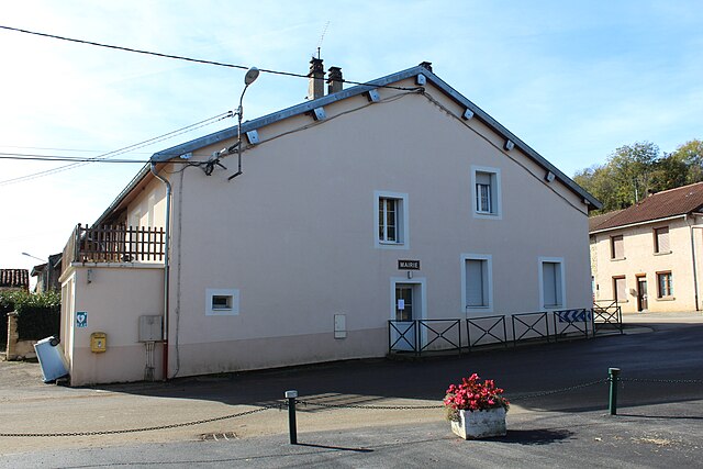
Montfleur (Montfleur)

- коммуна во Франции
 Hiking in Montfleur
Montfleur, located in the Jura region of France, offers beautiful hiking opportunities with its picturesque landscapes, dense forests, and panoramic vistas. Here are some highlights and tips for hiking in Montfleur:
Trail Highlights:
- Scenic Views: The region features various trails that lead to stunning viewpoints overlooking the Jura mountains and surrounding valleys.
- Diverse Terrain: From rolling hills to forested paths, the terrain caters to different skill levels, ranging from easy walks to more challenging hikes.
- Flora and Fauna: Montfleur is home to diverse wildlife and flora. Hikers may spot various bird species, deer, and unique plant life along the trails.
Popular Hiking Routes:
- Le Sentier des Crêtes: This is a beautiful ridge trail offering incredible vistas, especially at sunrise and sunset.
- Lac de Vouglans Circuit: A longer hike around the lake that combines beautiful water views with forested paths.
Tips for Hiking in Montfleur:
- Prepare for Varying Weather: The Jura region can have unpredictable weather, so dressing in layers and bringing rain gear is essential.
- Stay Hydrated & Nourished: Always carry enough water and snacks, especially on longer hikes.
- Map & Navigation: Familiarize yourself with trail maps and possibly download offline maps if you’re hiking in areas with limited cell reception.
- Respect Nature: Stick to marked trails to preserve the natural environment and avoid disturbing wildlife.
- Local Guidelines: Check local regulations or guidelines, as some trails may have seasonal restrictions.
Accessibility:
Ensure you check for trail accessibility, as some paths may be challenging for individuals with mobility restrictions.
Overall, Montfleur offers an enchanting hiking experience full of natural beauty, tranquility, and adventure. Happy hiking!
- Страна:

- Почтовый код: 39320
- Координаты: 46° 19' 47" N, 5° 26' 11" E


- GPS треки (wikiloc): [Ссылка]
- Площадь: 7.88 кв.км
- Население: 186
- Веб сайт: http://www.montfleur39.com
- Википедия английская: wiki(en)
- Википедия национальная: wiki(fr)
- Хранилище Wikidata: Wikidata: Q405150
- Катеория в википедии: [Ссылка]
- код Freebase: [/m/03nqq6s]
- код GeoNames: Альт: [6433651]
- номер SIREN: [213903537]
- код BNF: [15258716g]
- код VIAF: Альт: [307288700]
- код муниципалитета INSEE: 39353
Граничит с регионами:


Broissia
- коммуна во Франции
Hiking in Broissia
I believe you might be referring to Bruis, also known as Bruis in the Provence-Alpes-Côte d'Azur region in France. If this is the case, or if you meant a different area, feel free to clarify. Assuming you're referring to Bruis, here are some insights on hiking in that region:...
- Страна:
- Почтовый код: 39320
- Координаты: 46° 21' 35" N, 5° 25' 50" E
- GPS треки (wikiloc): [Ссылка]
- Площадь: 2.97 кв.км
- Население: 65


Montagna-le-Templier
- коммуна во Франции
Hiking in Montagna-le-Templier
Montagna-le-Templier, situated in the Provence-Alpes-Côte d'Azur region of France, is a lesser-known gem for hiking enthusiasts. This area offers diverse landscapes, including beautiful vineyards, rocky outcrops, and scenic views of the surrounding countryside....
- Страна:
- Почтовый код: 39320
- Координаты: 46° 21' 14" N, 5° 27' 18" E
- GPS треки (wikiloc): [Ссылка]
- Площадь: 7.05 кв.км
- Население: 103

Пуйя
- коммуна во Франции
Hiking in Пуйя
Pouillat appears to be a lesser-known or less-documented hiking location. It's possible that it may refer to a specific area or a local name that isn't widely recognized in hiking guides. It is important to gather more context about Pouillat—such as its geographic location or nearby landmarks—to provide accurate information....
- Страна:
- Почтовый код: 01250
- Координаты: 46° 19' 38" N, 5° 25' 42" E
- GPS треки (wikiloc): [Ссылка]
- Площадь: 6.23 кв.км
- Население: 91


Bourcia
- коммуна во Франции
Hiking in Bourcia
It seems there may be a slight misunderstanding, as there isn't a well-known hiking region specifically named "Bourcia." However, if you meant a specific location with a similar name, such as a region in a particular country or a lesser-known destination, please clarify....
- Страна:
- Почтовый код: 39320
- Координаты: 46° 21' 13" N, 5° 24' 29" E
- GPS треки (wikiloc): [Ссылка]
- Площадь: 11.13 кв.км
- Население: 117

Villeneuve-lès-Charnod
- коммуна во Франции
Hiking in Villeneuve-lès-Charnod
Villeneuve-lès-Charnod is a picturesque village located in the Jura department of France, known for its natural beauty and hilly terrain, which makes it an excellent destination for hiking enthusiasts. Here are some key points to consider if you're planning to hike in this area:...
- Страна:
- Почтовый код: 39240
- Координаты: 46° 20' 12" N, 5° 28' 42" E
- GPS треки (wikiloc): [Ссылка]
- Площадь: 7.05 кв.км
- Население: 77

Жерманья
- коммуна во Франции
Hiking in Жерманья
Germagnat is a beautiful hiking destination that often features scenic trails, picturesque landscapes, and a peaceful environment. While it's not a widely known region in hiking circles, if it encompasses areas in the northern Alps or Jura mountains, you can expect to find a variety of trails suited for different skill levels....
- Страна:
- Почтовый код: 01250
- Координаты: 46° 18' 39" N, 5° 26' 55" E
- GPS треки (wikiloc): [Ссылка]
- Площадь: 9.48 кв.км
- Население: 144