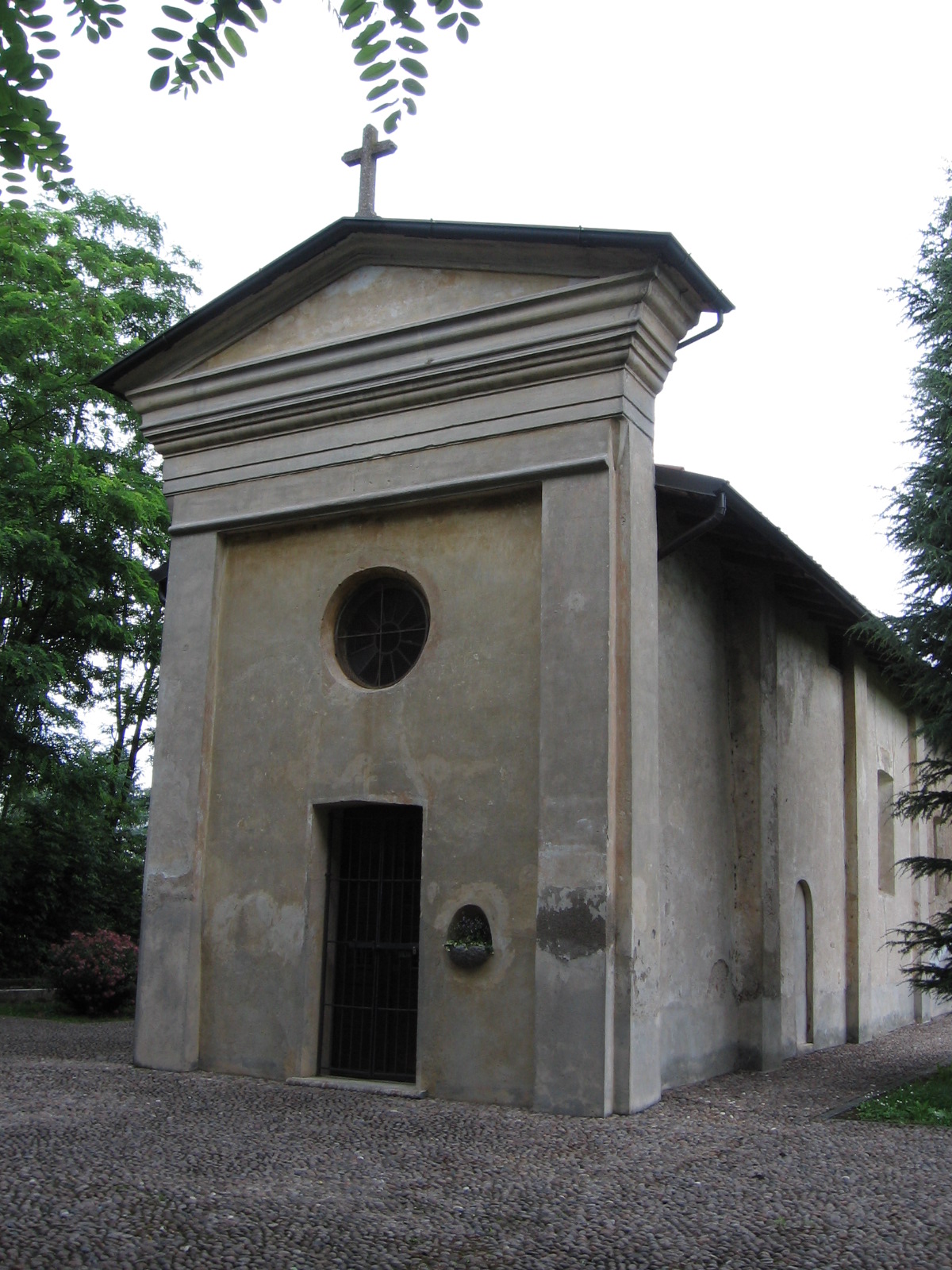
Моццате (Mozzate, Mozzate)
.svg)
- коммуна Италии
 Hiking in Моццате
Mozzate is a small town in the Lombardy region of Italy, not typically known as a hiking hotspot. However, it is well-positioned near various natural and scenic areas that are great for hiking enthusiasts. Here are some key points about hiking in and around Mozzate:
-
Local Parks: While the town itself may not have extensive hiking trails, nearby parks offer opportunities for walking and light hiking. You might explore areas like the Parco del Lura, which is not far from Mozzate and has trails alongside the river, making it nice for a leisurely day out.
-
Lake Como: A short drive from Mozzate brings you to the stunning landscapes of Lake Como. The area around the lake has numerous hiking trails ranging from easy walks to more challenging hikes. Trails such as the Greenway del Lago di Como provide beautiful views of the lake and surrounding hills.
-
Monte Generoso and the Surrounding Mountains: Further afield, you can explore the hiking trails on Monte Generoso and the surrounding mountains. This can involve more strenuous hikes but rewards you with breathtaking views of the Swiss Alps and the Italian landscape.
-
Local Culture: If you're hiking in the area, take some time to appreciate the local culture and cuisine. In Mozzate and neighboring towns, you can find authentic Italian cuisine to recharge after a day of hiking.
-
Hiking Groups: Joining local hiking clubs can be a great way to explore the area, meet new people, and discover trails that may not be widely known. This can enhance your hiking experience and ensure you find the best routes.
-
Seasonal Considerations: Be mindful of the seasons; the best time for hiking in this region is generally from late spring to early autumn when the weather is mild, and trails are more accessible.
Always check local trail conditions and guidelines before heading out, and make sure to prepare appropriately for the hikes you choose, considering your fitness level and experience.
- Страна:

- Почтовый код: 22076
- Телефонный код: 0331
- Код автомобильного номера: CO
- Координаты: 45° 41' 0" N, 8° 57' 0" E


- GPS треки (wikiloc): [Ссылка]
- Высота над уровнем моря: 246 м m
- Площадь: 10.68 кв.км
- Население: 8971
- Веб сайт: http://www.comune.mozzate.co.it
- Википедия русская: wiki(ru)
- Википедия английская: wiki(en)
- Википедия национальная: wiki(it)
- Хранилище Wikidata: Wikidata: Q47663
- Катеория в википедии: [Ссылка]
- код Freebase: [/m/08q3zb]
- код GeoNames: Альт: [6540579]
- код VIAF: Альт: [138115997]
- ID отношения в OpenStreetMap: [45675]
- код темы Quora: [Mozzate]
- UN/LOCODE: [ITMZT]
- код ISTAT: 013159
- кадастровый код Италии: F788
Граничит с регионами:


Карбонады
- коммуна Италии
Hiking in Карбонады
Carbonate, located in the province of Varese in Lombardy, Italy, is a great area to experience hiking amidst stunning landscapes. While Carbonate itself is a small town with limited hiking trails, it is surrounded by beautiful countryside and is in proximity to various hiking spots in the nearby regions, including the Prealps and the Lake Maggiore area....
- Страна:
- Почтовый код: 22070
- Телефонный код: 0331
- Код автомобильного номера: CO
- Координаты: 45° 41' 9" N, 8° 56' 21" E
- GPS треки (wikiloc): [Ссылка]
- Высота над уровнем моря: 267 м m
- Площадь: 4.92 кв.км
- Население: 2925
- Веб сайт: [Ссылка]
Горла-Миноре
- коммуна Италии
Hiking in Горла-Миноре
Gorla Minore is a small town located in the Lombardy region of northern Italy, near the city of Varese. While it might not be as famous as some larger hiking destinations, it offers access to several scenic trails and natural areas that can be enjoyed by hikers of all levels....
- Страна:
- Почтовый код: 21055
- Телефонный код: 0331
- Код автомобильного номера: VA
- Координаты: 45° 38' 0" N, 8° 54' 0" E
- GPS треки (wikiloc): [Ссылка]
- Высота над уровнем моря: 237 м m
- Площадь: 7.48 кв.км
- Население: 8370
- Веб сайт: [Ссылка]

Горла-Маджоре
- коммуна Италии
Hiking in Горла-Маджоре
Gorla Maggiore is a picturesque town located in the Lombardy region of Italy, not far from Lake Maggiore. While it may not be as broadly known as some other hiking destinations, it offers a variety of trails and natural landscapes suitable for hiking enthusiasts....
- Страна:
- Почтовый код: 21050
- Телефонный код: 0331
- Код автомобильного номера: VA
- Координаты: 45° 39' 58" N, 8° 54' 16" E
- GPS треки (wikiloc): [Ссылка]
- Высота над уровнем моря: 254 м m
- Площадь: 5.16 кв.км
- Население: 4984
- Веб сайт: [Ссылка]


Числаго
- коммуна Италии
Hiking in Числаго
Cislago, located in the Lombardy region of Italy, is not only known for its charming atmosphere but also offers some lovely opportunities for hiking and outdoor activities. While Cislago itself is a small town, its proximity to natural areas and trails makes it a great starting point for hiking enthusiasts....
- Страна:
- Почтовый код: 21040
- Телефонный код: 02
- Код автомобильного номера: VA
- Координаты: 45° 39' 0" N, 8° 58' 0" E
- GPS треки (wikiloc): [Ссылка]
- Высота над уровнем моря: 237 м m
- Площадь: 11.13 кв.км
- Население: 10394
- Веб сайт: [Ссылка]


Лураго-Мариноне
- коммуна Италии
Hiking in Лураго-Мариноне
Lurago Marinone is a picturesque small town located in the province of Como, in the Lombardy region of Italy. While it may not be one of the most prominent hiking destinations, it offers several opportunities for outdoor exploration thanks to its charming surrounding landscapes, particularly the foothills of the Alps....
- Страна:
- Почтовый код: 22070
- Телефонный код: 031
- Код автомобильного номера: CO
- Координаты: 45° 42' 0" N, 8° 59' 0" E
- GPS треки (wikiloc): [Ссылка]
- Высота над уровнем моря: 294 м m
- Площадь: 3.89 кв.км
- Население: 2585
- Веб сайт: [Ссылка]
Лимидо-Комаско
- коммуна Италии
Hiking in Лимидо-Комаско
Limido Comasco is a charming town located in the Como province of Italy, nestled in the beautiful region of Lombardy. While it might not be as famous as some other hiking destinations in Italy, it offers several wonderful opportunities for outdoor activities, particularly hiking, thanks to its proximity to the scenic landscape of the Prealps and nearby Lake Como....
- Страна:
- Почтовый код: 22070
- Телефонный код: 031
- Код автомобильного номера: CO
- Координаты: 45° 41' 0" N, 8° 59' 0" E
- GPS треки (wikiloc): [Ссылка]
- Высота над уровнем моря: 276 м m
- Площадь: 4.56 кв.км
- Население: 3828
- Веб сайт: [Ссылка]