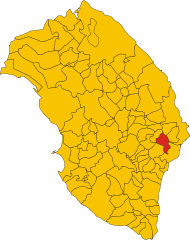
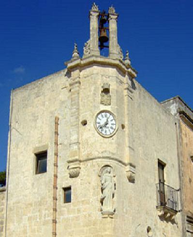
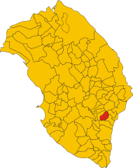
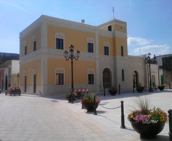
Поджардо (Poggiardo, Poggiardo)
.svg)
- коммуна Италии
 Hiking in Поджардо
Poggiardo is a charming town located in the Salento region of Puglia, Italy, and offers a variety of hiking opportunities that take you through its stunning landscapes, historical sites, and nearby coastal areas. Here are some highlights and recommendations for hiking in the Poggiardo area:
Trails and Scenic Routes
-
Poggiardo to Santa Cesarea Terme: This hike takes you along coastal paths with breathtaking views of the Adriatic Sea. The trail is moderately easy and allows you to enjoy the beauty of the coastline, passing through Mediterranean flora.
-
The Sila Forest Trails: Just a short drive from Poggiardo, you can find more extensive forested areas ideal for hiking. The Sila region offers trails that range in difficulty, providing options for both beginners and experienced hikers.
-
Historic Villages Trail: You can create a loop that connects Poggiardo with other nearby towns, such as Vignacastrisi and Castro. This route not only gives you scenic views but also allows you to explore historical architecture and local culture.
-
Cave Trails: The region is known for its fascinating limestone formations and caves. Trails that lead to caves near Poggiardo can give you both adventure and opportunities to learn about the natural history of the area.
Tips for Hiking in Poggiardo
-
Best Time to Hike: The ideal time for hiking in Poggiardo is during the spring (April to June) and fall (September to October) when the weather is mild and the landscape is vibrant. Summers can be hot, so early morning or late afternoon hikes are recommended.
-
Equip Yourself: Make sure to wear suitable hiking shoes, carry sufficient water, and bring sunscreen and a hat, especially for coastal hikes.
-
Local Guide: For those unfamiliar with the area, consider hiring a local guide or joining a hiking group. They can provide insights into the trails and the natural and cultural history of the region.
-
Respect Nature: Follow the principles of Leave No Trace. Stick to marked trails, avoid picking plants, and be mindful of local wildlife.
Conclusion
Hiking in Poggiardo and its surroundings offers a blend of natural beauty, historical richness, and unique local culture. Whether you're looking for a challenging hike or a leisurely stroll, this part of Puglia provides a picturesque backdrop for outdoor adventures. Always check trail conditions before heading out, and enjoy the wonderful landscape that this charming town has to offer!
- Страна:

- Почтовый код: 73037
- Телефонный код: 0836
- Код автомобильного номера: LE
- Координаты: 40° 3' 0" N, 18° 23' 0" E


- GPS треки (wikiloc): [Ссылка]
- Высота над уровнем моря: 90 м m
- Площадь: 19.96 кв.км
- Население: 5992
- Веб сайт: http://www.poggiardo.com
- Википедия русская: wiki(ru)
- Википедия английская: wiki(en)
- Википедия национальная: wiki(it)
- Хранилище Wikidata: Wikidata: Q52178
- Катеория в википедии: [Ссылка]
- код Freebase: [/m/0f_9tl]
- код GeoNames: Альт: [6537593]
- код VIAF: Альт: [132658226]
- ID отношения в OpenStreetMap: [40226]
- WOEID: [720727]
- код ISTAT: 075061
- кадастровый код Италии: G751
Граничит с регионами:

Джуджанелло
- коммуна Италии
Hiking in Джуджанелло
Giuggianello is a small town in the province of Lecce, located in the Apulia region of southern Italy. The area surrounding Giuggianello offers a picturesque landscape characterized by rolling hills, olive groves, and vineyards, which can provide some lovely hiking opportunities....
- Страна:
- Почтовый код: 73030
- Телефонный код: 0836
- Код автомобильного номера: LE
- Координаты: 40° 6' 0" N, 18° 22' 0" E
- GPS треки (wikiloc): [Ссылка]
- Высота над уровнем моря: 79 м m
- Площадь: 10.27 кв.км
- Население: 1196
- Веб сайт: [Ссылка]

Минервино-ди-Лечче
- коммуна Италии
Hiking in Минервино-ди-Лечче
Minervino di Lecce, located in the Apulia region of Italy, is not only rich in history and culture but also offers beautiful landscapes ideal for hiking enthusiasts. This area is near the stunning coast of the Adriatic Sea and is surrounded by a mix of rocky terrains, olive groves, and ancient stone formations, making it an appealing destination for outdoor activities....
- Страна:
- Почтовый код: 73027
- Телефонный код: 0836
- Код автомобильного номера: LE
- Координаты: 40° 6' 0" N, 18° 26' 0" E
- GPS треки (wikiloc): [Ссылка]
- Высота над уровнем моря: 98 м m
- Площадь: 18.13 кв.км
- Население: 3602
- Веб сайт: [Ссылка]


Ночилья
- коммуна Италии
Hiking in Ночилья
Nociglia, located in the Apulia region of southern Italy, offers a charming and scenic backdrop for hiking enthusiasts. While it may not be as well-known as some of the larger national parks, Nociglia and its surroundings provide a range of hiking opportunities, characterized by beautiful landscapes, traditional Apulian architecture, and rich local culture....
- Страна:
- Почтовый код: 73020
- Телефонный код: 0836
- Код автомобильного номера: LE
- Координаты: 40° 2' 0" N, 18° 20' 0" E
- GPS треки (wikiloc): [Ссылка]
- Высота над уровнем моря: 102 м m
- Площадь: 11.13 кв.км
- Население: 2289
- Веб сайт: [Ссылка]


Ортелле
- коммуна Италии
Hiking in Ортелле
Ortelle is a charming town located in the province of Lecce, in the Puglia region of Italy. The surrounding area offers beautiful landscapes, making it a lovely destination for hiking enthusiasts....
- Страна:
- Почтовый код: 73030
- Телефонный код: 0836
- Код автомобильного номера: LE
- Координаты: 40° 2' 4" N, 18° 23' 35" E
- GPS треки (wikiloc): [Ссылка]
- Высота над уровнем моря: 110 м m
- Площадь: 10.23 кв.км
- Население: 2399
- Веб сайт: [Ссылка]

Сан-Кассиано
- коммуна Италии
Hiking in Сан-Кассиано
San Cassiano, located in the stunning Dolomites region of Italy, is a fantastic destination for hiking enthusiasts. This picturesque village offers breathtaking views, diverse landscapes, and well-marked trails suitable for various skill levels. Here are some key highlights about hiking in San Cassiano:...
- Страна:
- Почтовый код: 73020
- Телефонный код: 0836
- Код автомобильного номера: LE
- Координаты: 40° 3' 23" N, 18° 20' 2" E
- GPS треки (wikiloc): [Ссылка]
- Высота над уровнем моря: 89 м m
- Площадь: 8.77 кв.км
- Население: 2037
- Веб сайт: [Ссылка]


Санарика
- коммуна Италии
Hiking in Санарика
Sanarica is a picturesque village located in the province of Lecce, in the Apulia region of southern Italy. While it may not be as widely known as some other hiking destinations, the surrounding area offers beautiful landscapes and opportunities for outdoor activities....
- Страна:
- Почтовый код: 73030
- Телефонный код: 0836
- Код автомобильного номера: LE
- Координаты: 40° 5' 0" N, 18° 21' 0" E
- GPS треки (wikiloc): [Ссылка]
- Высота над уровнем моря: 78 м m
- Площадь: 13.02 кв.км
- Население: 1487
- Веб сайт: [Ссылка]
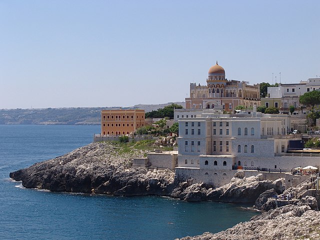

Санта-Чезареа-Терме
- коммуна Италии
Hiking in Санта-Чезареа-Терме
Santa Cesarea Terme, located on the Adriatic coast in the region of Puglia, Italy, is a wonderful destination for hiking enthusiasts. The area is known for its stunning coastal views, rich history, and diverse landscapes. Here’s an overview of what you can expect when hiking in this region:...
- Страна:
- Почтовый код: 73020
- Телефонный код: 0836
- Код автомобильного номера: LE
- Координаты: 40° 2' 10" N, 18° 27' 20" E
- GPS треки (wikiloc): [Ссылка]
- Высота над уровнем моря: 56 м m
- Площадь: 26.82 кв.км
- Население: 3017
- Веб сайт: [Ссылка]
Спонгано
- коммуна Италии
Hiking in Спонгано
Spongano, a picturesque town in the Apulia region of Italy, offers a beautiful hiking experience for outdoor enthusiasts. Situated near the Adriatic coast, it features stunning landscapes, rich cultural heritage, and various trails that cater to different levels of hikers....
- Страна:
- Почтовый код: 73038
- Телефонный код: 0836
- Код автомобильного номера: LE
- Координаты: 40° 1' 0" N, 18° 22' 0" E
- GPS треки (wikiloc): [Ссылка]
- Высота над уровнем моря: 96 м m
- Площадь: 12.42 кв.км
- Население: 3673
- Веб сайт: [Ссылка]

Сурано
- коммуна Италии
Hiking in Сурано
Surano is a picturesque village located in the province of Lecce in the Apulia region of Italy. While it may not be as widely known for hiking as some other areas, it is surrounded by beautiful landscapes and offers routes that combine natural beauty with cultural experiences....
- Страна:
- Почтовый код: 73030
- Телефонный код: 0836
- Код автомобильного номера: LE
- Координаты: 40° 2' 0" N, 18° 21' 0" E
- GPS треки (wikiloc): [Ссылка]
- Высота над уровнем моря: 102 м m
- Площадь: 8.99 кв.км
- Население: 1637
- Веб сайт: [Ссылка]