
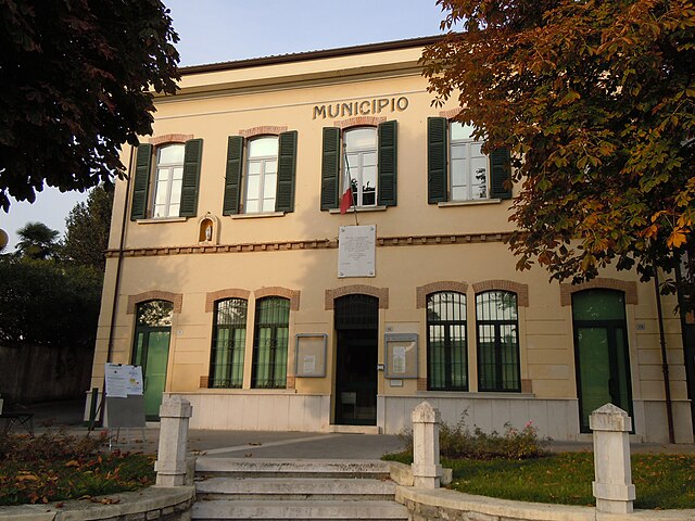
Польпенацце-дель-Гарда (Polpenazze del Garda, Polpenazze del Garda)
.svg)
- коммуна Италии
 Hiking in Польпенацце-дель-Гарда
Polpenazze del Garda, located in the province of Brescia in northern Italy, offers a charming hiking experience with stunning views of Lake Garda and the surrounding countryside. This quaint town is part of the Valtènesi area, known for its vineyards, olive groves, and hilly landscapes, making it a perfect destination for both novice and experienced hikers.
Hiking Trails and Routes
-
Sentiero dei Barchi: This trail is well-signposted and takes you through beautiful olive groves, offering panoramic views of Lake Garda. It's relatively easy to moderate in difficulty, ideal for families or casual hikers.
-
Route to the Rocca di Manerba: Starting from Polpenazze, you can trek towards the nearby Rocca di Manerba Regional Park. The park features fascinating geological formations, diverse flora and fauna, and breathtaking views from the top.
-
Hiking to San Felice del Benaco: This route connects Polpenazze with the nearby town of San Felice del Benaco. It’s a lovely hike along scenic paths where you can enjoy the beauty of the landscape and stop to explore charming local towns.
-
Wine and Olive Oil Trails: The region is famed for its wine and olive oil production. Consider taking a leisurely hike that allows for stops at local wineries or olive farms. This can be a delightful way to combine hiking with tasting the local cuisine.
What to Expect
- Scenic Views: Most trails offer stunning vistas of Lake Garda and the surrounding mountains, especially during sunrise or sunset.
- Mild Weather: The climate in this area is typically mild, making it suitable for hiking year-round. However, spring and fall are particularly pleasant.
- Flora and Fauna: Expect to encounter a diverse range of plant life, olive trees, and possibly local wildlife such as various bird species and small mammals.
Tips for Hiking in Polpenazze del Garda
- Footwear: Wear comfortable, sturdy hiking shoes with good traction.
- Hydration: Always bring sufficient water, especially in the warmer months.
- Sun Protection: Use sunscreen and consider wearing a hat, as some trails may have little shade.
- Local Guides: If you're unfamiliar with the area, consider hiring a local guide or joining a hiking group to learn more about the landscape and history.
Conclusion
Hiking in Polpenazze del Garda is a rewarding experience, combining the beauty of nature with cultural exploration. Whether you're interested in a leisurely stroll through vineyards or a more challenging hike up hills with panoramic views, there’s something for every type of hiker in this picturesque region.
- Страна:

- Почтовый код: 25080
- Телефонный код: 0365
- Код автомобильного номера: BS
- Координаты: 45° 32' 41" N, 10° 30' 51" E


- GPS треки (wikiloc): [Ссылка]
- Высота над уровнем моря: 204 м m
- Площадь: 9.12 кв.км
- Население: 2672
- Веб сайт: http://www.comune.polpenazzedelgarda.bs.it/
- Википедия русская: wiki(ru)
- Википедия английская: wiki(en)
- Википедия национальная: wiki(it)
- Хранилище Wikidata: Wikidata: Q111415
- Катеория в википедии: [Ссылка]
- код Freebase: [/m/046k8v]
- код GeoNames: Альт: [3170368]
- код VIAF: Альт: [241875231]
- ID отношения в OpenStreetMap: [45274]
- UN/LOCODE: [ITPPG]
- код ISTAT: 017145
- кадастровый код Италии: G801
Граничит с регионами:
Кальваджезе-делла-Ривьера
- коммуна Италии
Hiking in Кальваджезе-делла-Ривьера
Calvagese della Riviera, located in the province of Brescia in Northern Italy, offers various hiking opportunities that allow you to explore its picturesque landscapes and natural beauty. Here are some key points to consider when hiking in this area:...
- Страна:
- Почтовый код: 25080
- Телефонный код: 030
- Код автомобильного номера: BS
- Координаты: 45° 32' 3" N, 10° 26' 33" E
- GPS треки (wikiloc): [Ссылка]
- Высота над уровнем моря: 225 м m
- Площадь: 11.74 кв.км
- Население: 3566
- Веб сайт: [Ссылка]

Манерба-дель-Гарда
- коммуна Италии
Hiking in Манерба-дель-Гарда
Manerba del Garda is a beautiful area located on the western shore of Lake Garda in northern Italy. The region is known for its stunning natural scenery, rich history, and a variety of hiking paths that cater to different skill levels. Here are some key highlights and tips for hiking in Manerba del Garda:...
- Страна:
- Почтовый код: 25080
- Телефонный код: 0365
- Код автомобильного номера: BS
- Координаты: 45° 32' 59" N, 10° 33' 5" E
- GPS треки (wikiloc): [Ссылка]
- Высота над уровнем моря: 130 м m
- Площадь: 36.63 кв.км
- Население: 5357
- Веб сайт: [Ссылка]
Мусколине
- коммуна Италии
Hiking in Мусколине
Muscoline, located in Northern Italy, is a delightful destination for hiking enthusiasts who appreciate natural beauty and stunning landscapes. The region is characterized by rolling hills, lush forests, and scenic views of the surrounding countryside....
- Страна:
- Почтовый код: 25080
- Телефонный код: 0365
- Код автомобильного номера: BS
- Координаты: 45° 34' 0" N, 10° 28' 0" E
- GPS треки (wikiloc): [Ссылка]
- Высота над уровнем моря: 272 м m
- Площадь: 10.08 кв.км
- Население: 2654
- Веб сайт: [Ссылка]

Пуэньяго-суль-Гарда
- коммуна Италии
Hiking in Пуэньяго-суль-Гарда
Puegnago sul Garda, located in the Lombardy region of Italy, is a charming village situated near the western shore of Lake Garda. It offers beautiful landscapes, rich flora and fauna, and a variety of hiking opportunities suited for different skill levels....
- Страна:
- Почтовый код: 25080
- Телефонный код: 0365
- Код автомобильного номера: BS
- Координаты: 45° 34' 0" N, 10° 30' 36" E
- GPS треки (wikiloc): [Ссылка]
- Высота над уровнем моря: 224 м m
- Площадь: 10.97 кв.км
- Население: 3444
- Веб сайт: [Ссылка]

Сойано-дель-Лаго
- коммуна Италии
Hiking in Сойано-дель-Лаго
Soiano del Lago, located in the Lombardy region of Italy, near Lake Garda, offers a variety of hiking opportunities that showcase the area's stunning natural beauty and cultural heritage. The region is characterized by its rolling hills, olive groves, and panoramic views of the lake, making it a picturesque destination for hikers of all levels....
- Страна:
- Почтовый код: 25080
- Телефонный код: 0365
- Код автомобильного номера: BS
- Координаты: 45° 31' 40" N, 10° 30' 46" E
- GPS треки (wikiloc): [Ссылка]
- Высота над уровнем моря: 196 м m
- Площадь: 5.77 кв.км
- Население: 1919
- Веб сайт: [Ссылка]