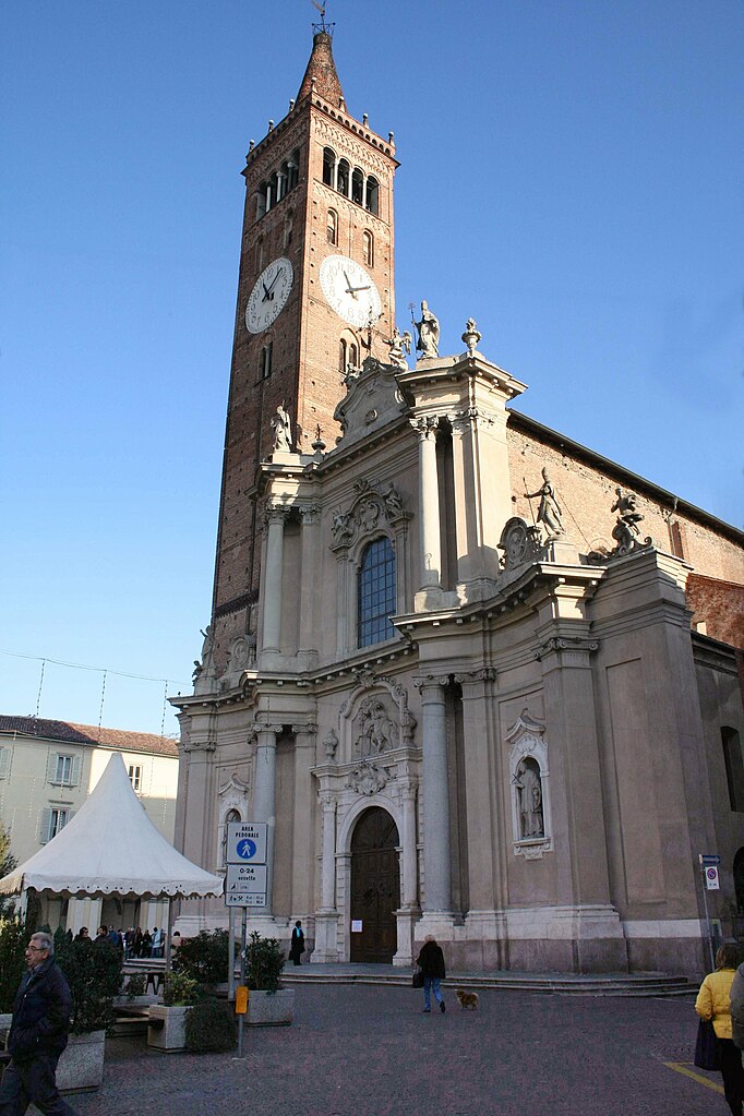
Понтироло-Нуово (Pontirolo Nuovo, Pontirolo Nuovo)
.svg)
- коммуна Италии
 Hiking in Понтироло-Нуово
Pontirolo Nuovo, a small town in the Lombardy region of Italy, is not specifically known as a hiking destination, but it is surrounded by a countryside that offers some opportunities for walking and outdoor activities. Here are some suggestions and information relevant to hiking in and around Pontirolo Nuovo:
Local Environment
-
Countryside Trails: The area surrounding Pontirolo Nuovo features rural landscapes, farmland, and small forests that can provide a pleasant setting for leisurely walks. Look for local paths or trails used by residents.
-
Nearby Parks: Consider exploring nearby green spaces and parks. While there might not be designated hiking trails within Pontirolo Nuovo itself, you can find regional parks that offer marked trails.
-
Waterways: There are canals and rivers in the Lombardy region, and riverside paths can be enjoyable for walking and hiking. The Adda River, for example, has trails along it and can be accessed from towns a short distance away.
Regional Hiking Areas
-
Monte Canto and Adda Park: A short drive from Pontirolo Nuovo will lead you to the Adda Nord Park, which offers various trails and scenic views along the Adda River. It provides a mix of easy to moderate hikes.
-
Orrido di Bellano: Located a bit farther away, this gorge offers more adventurous hiking with stunning views. It's a unique natural feature not to be missed.
-
Bergamasque Pre-Alps: For more serious hiking adventures, consider heading to the nearby Bergamasque Pre-Alps. Here, you will find numerous trails ranging from easy walks to more challenging hikes with breathtaking mountain views.
Tips for Hiking in the Area
- Maps and Guides: Always have a good map or a GPS device, as trails can sometimes be unmarked or change in quality.
- Weather Considerations: Check the weather before heading out, especially in spring and fall when rain can affect trail conditions.
- Local Knowledge: Ask locals for advice on the best walking paths or hidden gems. They often know quaint trails that aren’t listed in guidebooks.
- Be Respectful: Stick to marked trails, respect private property, and follow local regulations to preserve the natural beauty of the area.
While Pontirolo Nuovo may not be a prominent hiking destination, it serves as a good base to explore the greater Lombardy region, which is rich with hiking opportunities. Enjoy your adventures in the Italian countryside!
- Страна:

- Почтовый код: 24040
- Телефонный код: 0363
- Код автомобильного номера: BG
- Координаты: 45° 34' 9" N, 9° 34' 2" E


- GPS треки (wikiloc): [Ссылка]
- Высота над уровнем моря: 155 м m
- Площадь: 11.1 кв.км
- Население: 4983
- Веб сайт: http://www.comune.pontremoli.ms.it
- Википедия русская: wiki(ru)
- Википедия английская: wiki(en)
- Википедия национальная: wiki(it)
- Хранилище Wikidata: Wikidata: Q101466
- Галерея изображений в википедии: [Ссылка]
- Катеория в википедии: [Ссылка]
- код Freebase: [/m/0gjczm]
- код GeoNames: Альт: [6543755]
- ID отношения в OpenStreetMap: [45334]
- место в MusicBrainz: [0a659075-c0e2-4767-bbd3-e0e90927534a]
- UN/LOCODE: [ITPUO]
- код ISTAT: 016172
- кадастровый код Италии: G867
Граничит с регионами:


Каноника-д'Адда
- коммуна Италии
Hiking in Каноника-д'Адда
Canonica d'Adda is a picturesque town located in the Lombardy region of Italy, along the banks of the Adda River. It offers a number of beautiful trails and scenic vistas for hiking enthusiasts. Here’s what you should know about hiking in this area:...
- Страна:
- Почтовый код: 24040
- Телефонный код: 02
- Код автомобильного номера: BG
- Координаты: 45° 34' 31" N, 9° 32' 20" E
- GPS треки (wikiloc): [Ссылка]
- Высота над уровнем моря: 99 м m
- Площадь: 3.21 кв.км
- Население: 4504
- Веб сайт: [Ссылка]


Чизерано
- коммуна Италии
Hiking in Чизерано
Ciserano is a small town located in the Lombardy region of Italy, not far from Bergamo. While it may not be the first place that comes to mind for hiking, there are several opportunities for outdoor activities in the surrounding areas. Here are some aspects you might consider if you're planning a hiking trip near Ciserano:...
- Страна:
- Почтовый код: 24040
- Телефонный код: 035
- Код автомобильного номера: BG
- Координаты: 45° 35' 0" N, 9° 36' 0" E
- GPS треки (wikiloc): [Ссылка]
- Высота над уровнем моря: 159 м m
- Площадь: 5.31 кв.км
- Население: 5696
- Веб сайт: [Ссылка]


Фара-Джера-д'Адда
- коммуна Италии
Hiking in Фара-Джера-д'Адда
Fara Gera d'Adda is a charming town located in the Lombardy region of Italy, near the Adda River. While it may not be as well-known as some larger hiking destinations, it offers a variety of outdoor activities and scenic trails that can be appealing to hikers....
- Страна:
- Почтовый код: 24045
- Телефонный код: 0363
- Код автомобильного номера: BG
- Координаты: 45° 33' 0" N, 9° 32' 0" E
- GPS треки (wikiloc): [Ссылка]
- Высота над уровнем моря: 131 м m
- Площадь: 10.79 кв.км
- Население: 8043
- Веб сайт: [Ссылка]

Тревильо
- коммуна Италии
Hiking in Тревильо
Treviglio is located in the Lombardy region of northern Italy, not far from Milan. While Treviglio itself may not be a major hiking destination, it serves as a good base for accessing nearby natural areas and hiking trails in the surrounding region....
- Страна:
- Почтовый код: 24047
- Телефонный код: 0363
- Код автомобильного номера: BG
- Координаты: 45° 31' 17" N, 9° 35' 34" E
- GPS треки (wikiloc): [Ссылка]
- Высота над уровнем моря: 125 м m
- Площадь: 32.22 кв.км
- Население: 29815
- Веб сайт: [Ссылка]


Арчене
- коммуна Италии
Hiking in Арчене
It seems like there might be a small mix-up with the name "Arcene." If you meant "Arcen" in the Netherlands or potentially another location, I can provide general guidance on hiking in that area, or if you are referring to a different destination, please clarify!...
- Страна:
- Почтовый код: 24040
- Телефонный код: 035
- Код автомобильного номера: BG
- Координаты: 45° 34' 34" N, 9° 36' 51" E
- GPS треки (wikiloc): [Ссылка]
- Высота над уровнем моря: 152 м m
- Площадь: 4.35 кв.км
- Население: 4868
- Веб сайт: [Ссылка]


Больтьере
- коммуна Италии
Hiking in Больтьере
Boltiere is a small town located in the Lombardy region of Italy, primarily known for its agricultural landscape and proximity to larger cities like Bergamo. While Boltiere itself may not be a major hiking destination, the surrounding areas offer excellent opportunities for outdoor activities, including hiking....
- Страна:
- Почтовый код: 24040
- Телефонный код: 035
- Код автомобильного номера: BG
- Координаты: 45° 36' 0" N, 9° 35' 0" E
- GPS треки (wikiloc): [Ссылка]
- Высота над уровнем моря: 171 м m
- Площадь: 4.21 кв.км
- Население: 6102
- Веб сайт: [Ссылка]


Брембате
- коммуна Италии
Hiking in Брембате
Brembate, located in the province of Bergamo, Italy, is surrounded by beautiful landscapes that offer a variety of hiking opportunities. The area combines natural beauty with historical sites, making it a great destination for both casual hikers and more serious outdoor enthusiasts....
- Страна:
- Почтовый код: 24041
- Телефонный код: 035
- Код автомобильного номера: BG
- Координаты: 45° 36' 0" N, 9° 33' 0" E
- GPS треки (wikiloc): [Ссылка]
- Высота над уровнем моря: 173 м m
- Площадь: 5.54 кв.км
- Население: 8551
- Веб сайт: [Ссылка]