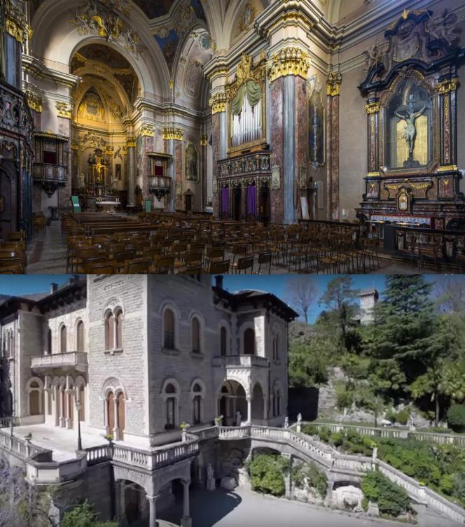
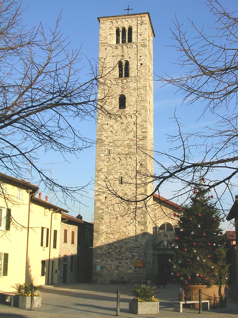
Прозерпио (Proserpio, Proserpio)
.svg)
- коммуна Италии
 Hiking in Прозерпио
Proserpio, located in Italy near Lake Como, offers a range of hiking opportunities that showcase the stunning natural beauty of the region. Here are some highlights and tips for hiking in and around Proserpio:
Scenic Trails
-
Sentiero del Viandante: This historic path runs along the eastern shore of Lake Como, with access points near Proserpio. It's a well-marked trail that offers breathtaking views of the lake and surrounding mountains.
-
Monte Cornizzolo: A bit to the east, this mountain features several trails leading to its summit. The hike is moderate to challenging and rewards hikers with panoramic views of the surrounding lakes and the Alps.
-
Local Nature Trails: Around Proserpio, you can find various trails that wind through forests, fields, and hills. These trails are often less crowded and allow for a more intimate experience with nature.
Hiking Tips
-
Seasonal Considerations: Spring and fall are ideal for hiking in this area, as the weather is generally mild. Summer can be hot, especially in lower elevations, while winter may bring snow to higher trails.
-
Gear Up: Proper hiking gear is essential. Sturdy hiking boots, plenty of water, snacks, and sunscreen are recommended. If you plan to hike during cooler months, wear layers.
-
Respect Nature: Stay on marked trails to minimize environmental impact and follow Leave No Trace principles. This includes packing out what you bring in.
-
Local Guidance: Consider hiring a local guide if you're unfamiliar with the area. They can share insights about the terrain and its history, and ensure you have a safe trek.
Additional Activities
In addition to hiking, the Proserpio area offers opportunities for mountain biking, bird watching, and enjoying the local cuisine at nearby restaurants. Don’t miss the chance to take in the stunning views of Lake Como, particularly from higher vantage points.
Overall, hiking in Proserpio can be a refreshing escape into nature, with a mixture of tranquil paths and challenging climbs that cater to all skill levels.
- Страна:

- Почтовый код: 22030
- Телефонный код: 031
- Код автомобильного номера: CO
- Координаты: 45° 49' 0" N, 9° 15' 0" E


- GPS треки (wikiloc): [Ссылка]
- Высота над уровнем моря: 450 м m
- Площадь: 2.3 кв.км
- Население: 936
- Веб сайт: http://www.comune.proserpio.co.it
- Википедия русская: wiki(ru)
- Википедия английская: wiki(en)
- Википедия национальная: wiki(it)
- Хранилище Wikidata: Wikidata: Q47444
- Катеория в википедии: [Ссылка]
- код Freebase: [/m/0gj1gj]
- код GeoNames: Альт: [6543118]
- ID отношения в OpenStreetMap: [46257]
- код ISTAT: 013192
- кадастровый код Италии: H074
Граничит с регионами:

Канцо
- коммуна Италии
Hiking in Канцо
Canzo, located in the Lombardy region of Italy, is a fantastic destination for hiking enthusiasts. Nestled in the foothills of the Italian Alps, it offers stunning landscapes, varied terrains, and plenty of trails suitable for different skill levels. Here are some highlights about hiking in Canzo:...
- Страна:
- Почтовый код: 22035
- Телефонный код: 031
- Код автомобильного номера: CO
- Координаты: 45° 51' 0" N, 9° 16' 0" E
- GPS треки (wikiloc): [Ссылка]
- Высота над уровнем моря: 402 м m
- Площадь: 11.11 кв.км
- Население: 5081
- Веб сайт: [Ссылка]
Кастельмарте
- коммуна Италии
Hiking in Кастельмарте
Castelmarte is a charming area located in the Italian region of Lombardy, near Lake Como. It's surrounded by beautiful landscapes, making it an excellent destination for hiking enthusiasts. Here are some key points to consider when planning a hike in Castelmarte:...
- Страна:
- Почтовый код: 22030
- Телефонный код: 031
- Код автомобильного номера: CO
- Координаты: 45° 50' 0" N, 9° 14' 0" E
- GPS треки (wikiloc): [Ссылка]
- Высота над уровнем моря: 459 м m
- Площадь: 1.97 кв.км
- Население: 1288
- Веб сайт: [Ссылка]

Эрба
- коммуна Италии
Hiking in Эрба
Erba, located in the province of Como in Lombardy, is an excellent destination for hiking enthusiasts. Surrounded by the picturesque landscapes of the Pre-Alps, the area offers a variety of trails suitable for all skill levels, from leisurely walks to more challenging hikes....
- Страна:
- Почтовый код: 22036
- Телефонный код: 031
- Код автомобильного номера: CO
- Координаты: 45° 49' 0" N, 9° 13' 0" E
- GPS треки (wikiloc): [Ссылка]
- Высота над уровнем моря: 320 м m
- Площадь: 17.80 кв.км
- Население: 16346
- Веб сайт: [Ссылка]
Лонгоне-аль-Сегрино
- коммуна Италии
Hiking in Лонгоне-аль-Сегрино
Longone al Segrino is a picturesque town in the Lombardy region of Italy, located near the Segrino Lake. The area is known for its natural beauty, making it a great destination for hiking enthusiasts. Here are some highlights for hiking in and around Longone al Segrino:...
- Страна:
- Почтовый код: 22030
- Телефонный код: 031
- Код автомобильного номера: CO
- Координаты: 45° 49' 0" N, 9° 15' 0" E
- GPS треки (wikiloc): [Ссылка]
- Высота над уровнем моря: 368 м m
- Площадь: 1.6 кв.км
- Население: 1900
- Веб сайт: [Ссылка]