Куэро-Вас (Quero Vas, Quero Vas)
 Hiking in Куэро-Вас
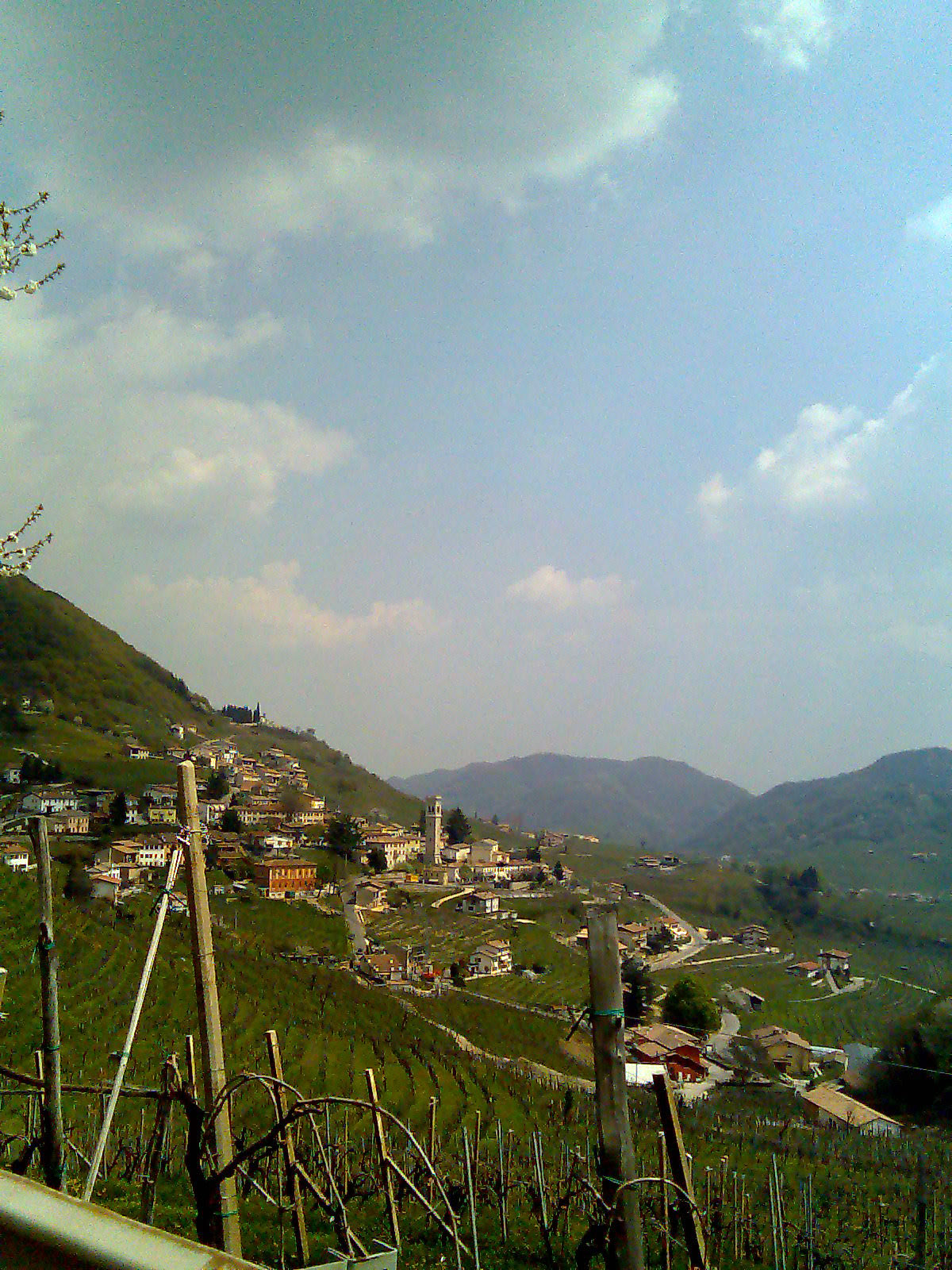
Quero Vas is a relatively lesser-known destination for hiking, but it offers some beautiful landscapes and opportunities to explore nature. Located within the Italian region of Veneto, near the foothills of the Alps, it features a mix of scenic trails that showcase both natural beauty and cultural heritage.
Hiking Trails
-
Local Trails: The area around Quero Vas has various local trails that can be explored, ranging from easy walks suitable for families to more challenging hikes for experienced trekkers.
-
Monte Grappa: Nearby, Monte Grappa offers extensive hiking opportunities with trails that provide spectacular views of the surrounding valleys. The trails vary in difficulty, and it's well-known for its rich history and significant markings from World War I.
-
Nature Reserves: There are several natural parks and reserves in the vicinity, such as the Parco Nazionale Dolomiti Bellunesi. These areas feature well-marked trails that take you through diverse ecosystems and stunning landscapes.
Best Time to Hike
The best time for hiking in Quero Vas is typically during the spring (April to June) and fall (September to October). During these months, temperatures are mild, and the trails are less crowded compared to the summer months.
Tips for Hikers
- Dress Appropriately: Weather can change rapidly in mountainous areas, so layers are essential. Good hiking boots and weather-resistant clothing are recommended.
- Stay Hydrated: Always carry enough water, especially on longer hikes.
- Navigation: While trails are usually marked, it’s advisable to have a map or GPS available, particularly in remote areas.
- Leave No Trace: Be respectful of nature by following Leave No Trace principles to preserve the beauty of the environment.
Local Culture
Quero Vas is also known for its rich cultural heritage. Besides hiking, you can explore local cuisine, visit historical sites, and immerse yourself in the local culture after your outdoor adventures.
Overall, Quero Vas offers a blend of hiking opportunities and cultural experiences, making it a charming destination for outdoor enthusiasts! Always make sure to check local regulations and trail conditions before heading out.
- Страна:

- Код автомобильного номера: BL
- Координаты: 45° 55' 22" N, 11° 55' 57" E


- GPS треки (wikiloc): [Ссылка]
- Площадь: 45.92 кв.км
- Население: 3166
- Веб сайт: http://www.comune.querovas.bl.it/
- Википедия английская: wiki(en)
- Википедия национальная: wiki(it)
- Хранилище Wikidata: Wikidata: Q15535503
- Катеория в википедии: [Ссылка]
- код GeoNames: Альт: [11072055]
- код ISTAT: 025070
- кадастровый код Италии: M332
Граничит с регионами:

Вальдоббьадене
- коммуна Италии
Hiking in Вальдоббьадене
Valdobbiadene, located in the Veneto region of Italy, is renowned for its stunning landscapes, rolling hills, and vineyards, which are integral to the production of the famous Prosecco wine. Hiking in this area offers a fantastic opportunity to explore its natural beauty, cultural heritage, and diverse trails suitable for different skill levels....
- Страна:
- Почтовый код: 31049
- Телефонный код: 0423
- Код автомобильного номера: TV
- Координаты: 45° 54' 0" N, 11° 55' 0" E
- GPS треки (wikiloc): [Ссылка]
- Высота над уровнем моря: 247 м m
- Площадь: 62.9 кв.км
- Население: 10349
- Веб сайт: [Ссылка]


Borgo Valbelluna
Hiking in Borgo Valbelluna
Borgo Valbelluna is a charming area located in the Belluno region of Veneto, Italy, and is known for its stunning natural landscapes, rich history, and diverse hiking trails. Here are some highlights and tips for hiking in this beautiful area:...
- Страна:
- Почтовый код: 32020; 32026; 32028
- Телефонный код: 0437
- Код автомобильного номера: BL
- Координаты: 46° 3' 50" N, 12° 5' 0" E
- GPS треки (wikiloc): [Ссылка]
- Высота над уровнем моря: 362 м m
- Площадь: 16769 кв.км
- Население: 13747
- Веб сайт: [Ссылка]