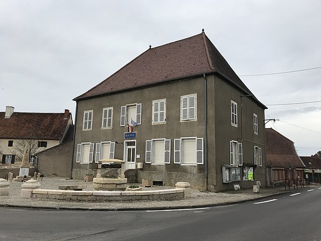
Séligney (Séligney)

- коммуна во Франции
 Hiking in Séligney
Séligney is a small commune located in the Bourguignon region of France, often surrounded by beautiful landscapes that are appealing for hiking enthusiasts. While specific trails may not be extensively documented, there are generally opportunities for hiking in the nearby countryside, forests, and natural areas.
Hiking in Séligney:
-
Surrounding Nature: The area around Séligney features rolling hills, forests, and fields, providing a scenic backdrop for various hiking options. The region is also home to diverse flora and fauna.
-
Trail Options: While specific trails may not be well-marked in Séligney itself, you can typically find local paths or country roads suitable for walking. Exploring the countryside can lead you to picturesque views and rural charm.
-
Nearby Highlights: Nearby larger towns or parks may offer more structured hiking trails. Researching the regional parks or nature reserves in the Bourgogne-Franche-Comté region can provide additional hiking options within a short drive.
-
Difficulty Levels: The trails accessible from Séligney may range from easy walking paths to more challenging hikes, depending on your preferences.
-
Wildlife and Flora: As you hike, keep an eye out for local wildlife and enjoy the seasonal changes in the flora, making each hike unique throughout the year.
Tips for Hiking in Séligney:
- Local Guidance: Check in with local tourism offices or hiking clubs for recommendations on trails and conditions.
- Weather Preparedness: Be sure to check the weather forecast before heading out and dress appropriately for the conditions.
- Safety: Always let someone know your hiking plans, carry enough water, and take basic safety gear with you.
- Leave No Trace: Follow principles of responsible hiking by respecting nature and packing out what you bring in.
While Séligney may not be a well-known hiking destination, exploring its surroundings can lead to enjoyable outdoor experiences. Always explore responsibly and enjoy the beautiful landscapes!
- Страна:

- Почтовый код: 39120
- Координаты: 46° 56' 17" N, 5° 32' 21" E


- GPS треки (wikiloc): [Ссылка]
- Площадь: 4.15 кв.км
- Население: 76
- Википедия английская: wiki(en)
- Википедия национальная: wiki(fr)
- Хранилище Wikidata: Wikidata: Q1226986
- Катеория в википедии: [Ссылка]
- код Freebase: [/m/03nvv79]
- код GeoNames: Альт: [6433757]
- номер SIREN: [213905078]
- код муниципалитета INSEE: 39507
Граничит с регионами:

Tassenières
- коммуна во Франции
- Страна:
- Почтовый код: 39120
- Координаты: 46° 55' 19" N, 5° 30' 54" E
- GPS треки (wikiloc): [Ссылка]
- Площадь: 6.64 кв.км
- Население: 392


Souvans
- коммуна во Франции
- Страна:
- Почтовый код: 39380
- Координаты: 46° 59' 40" N, 5° 32' 55" E
- GPS треки (wikiloc): [Ссылка]
- Площадь: 19.66 кв.км
- Население: 492


Villers-les-Bois
- коммуна во Франции
Hiking in Villers-les-Bois
Villers-les-Bois is a charming area located in the French region of Burgundy, known for its scenic landscapes and diverse outdoor activities. While it may not be as widely recognized as some other hiking destinations, it offers beautiful trails that cater to various skill levels, making it a great spot for both seasoned hikers and beginners....
- Страна:
- Почтовый код: 39800
- Координаты: 46° 54' 48" N, 5° 34' 45" E
- GPS треки (wikiloc): [Ссылка]
- Площадь: 10.5 кв.км
- Население: 207


Villers-Robert
- коммуна во Франции
- Страна:
- Почтовый код: 39120
- Координаты: 46° 57' 8" N, 5° 31' 12" E
- GPS треки (wikiloc): [Ссылка]
- Площадь: 10.13 кв.км
- Население: 230


Bretenières
Hiking in Bretenières
Bretenières is a charming village located in the Bourgogne-Franche-Comté region of France, known for its picturesque landscapes and rich natural beauty. While it might not be one of the most famous hiking destinations, there are several trails and routes you can explore in and around Bretenières....
- Страна:
- Почтовый код: 39120
- Координаты: 46° 55' 7" N, 5° 32' 32" E
- GPS треки (wikiloc): [Ссылка]
- Площадь: 4.11 кв.км
- Население: 39