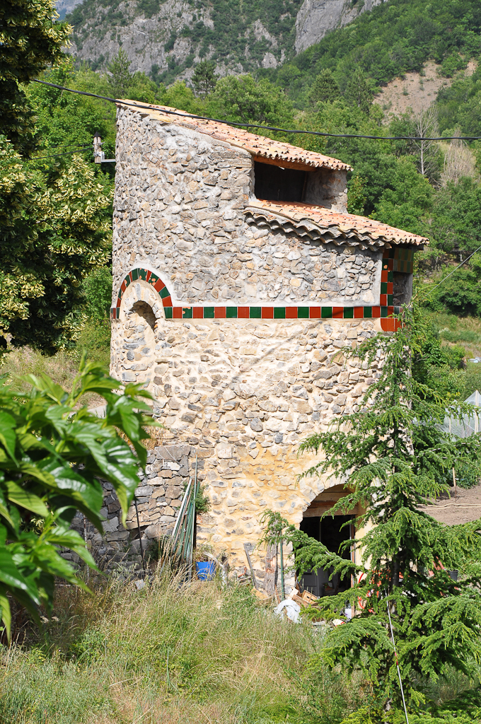
Валерн (Valernes, Valernes)
- коммуна во Франции
 Hiking in Валерн
Valernes is a lesser-known yet charming destination for hiking enthusiasts, located in the Alpes-de-Haute-Provence region of France. Surrounded by picturesque landscapes, Valernes offers a variety of trails suitable for different skill levels, allowing hikers to immerse themselves in the stunning natural beauty of the area.
Key Highlights for Hiking in Valernes:
-
Scenic Trails: The area features a range of trails that navigate through rolling hills, valleys, and along rivers. The paths are usually well-marked, making it easier for hikers to explore the beautiful scenery and discover hidden gems.
-
Flora and Fauna: As you trek, you might encounter diverse flora and fauna. The region is known for its rich biodiversity, including various wildflowers and wildlife typical to the Provence area.
-
Cultural Sites: In addition to natural beauty, you might come across historical landmarks and quaint villages, giving you a glimpse of the local culture and history.
-
Seasonal Variations: Each season offers a unique experience. Spring brings blooming wildflowers, summer provides warm weather ideal for hiking, autumn showcases stunning foliage, and winter can provide a tranquil, snow-covered landscape for those who enjoy winter hikes.
-
Practical Tips:
- Weather Check: Always check the weather forecast before setting out.
- Guided Tours: If you’re new to the area or hiking, consider joining a guided tour to gain insight from local experts.
- Gear Up: Wear appropriate hiking gear, including sturdy shoes and clothing suitable for the terrain and weather conditions.
-
Local Amenities: Valernes might not have extensive tourist infrastructure like larger cities, but basic amenities such as local inns or cafes can enhance your experience. It's advisable to plan ahead for meals and accommodations if needed.
Conclusion
Hiking in Valernes can be a rewarding experience for those seeking tranquility and natural beauty. Whether you decide to embark on a leisurely walk or a more challenging hike, the serene landscapes and charming atmosphere are sure to leave a lasting impression. Always remember to respect the environment by following Leave No Trace principles during your hike. Enjoy your adventure!
- Страна:

- Почтовый код: 04200
- Координаты: 44° 15' 44" N, 5° 57' 29" E


- GPS треки (wikiloc): [Ссылка]
- Площадь: 28.49 кв.км
- Население: 253
- Википедия русская: wiki(ru)
- Википедия английская: wiki(en)
- Википедия национальная: wiki(fr)
- Хранилище Wikidata: Wikidata: Q1016938
- Катеория в википедии: [Ссылка]
- код Freebase: [/m/03m7xwm]
- код Freebase: [/m/03m7xwm]
- код GeoNames: Альт: [2971024]
- код GeoNames: Альт: [2971024]
- номер SIREN: [210402319]
- номер SIREN: [210402319]
- код муниципалитета INSEE: 04231
- код муниципалитета INSEE: 04231
Граничит с регионами:

Сен-Женье
- коммуна во Франции
Hiking in Сен-Женье
Saint-Geniez is a charming village located in the heart of the Aveyron department in southern France. The area is known for its stunning landscapes, rich history, and excellent hiking opportunities. Here are some things you can expect when hiking in and around Saint-Geniez:...
- Страна:
- Почтовый код: 04200
- Координаты: 44° 14' 43" N, 6° 3' 11" E
- GPS треки (wikiloc): [Ссылка]
- Площадь: 38.94 кв.км
- Население: 95

Нибль
- коммуна во Франции
Hiking in Нибль
It seems there might be a small misunderstanding—there isn't a widely recognized hiking destination specifically called "Nibles." However, if you're referring to a particular place or a lesser-known trail, please provide more context or correct the name, and I'd be happy to help!...
- Страна:
- Почтовый код: 04250
- Координаты: 44° 16' 53" N, 6° 1' 9" E
- GPS треки (wikiloc): [Ссылка]
- Площадь: 12.31 кв.км
- Население: 43

Антрепьер
- коммуна во Франции
Hiking in Антрепьер
Entrepierres is a picturesque village located in the Alpes-de-Haute-Provence region of southeastern France. The area is known for its stunning natural landscapes, including the nearby Durance River and the surrounding mountains, which provide a beautiful backdrop for hiking enthusiasts....
- Страна:
- Почтовый код: 04200
- Координаты: 44° 11' 13" N, 5° 59' 38" E
- GPS треки (wikiloc): [Ссылка]
- Площадь: 47.79 кв.км
- Население: 386
Ле-Поэт
- коммуна во Франции
Hiking in Ле-Поэт
Le Poët is a charming commune in the Drôme department of southeastern France, nestled in the foothills of the Vercors Mountains. It offers a variety of hiking opportunities that showcase its beautiful landscapes, historical sites, and the rich natural environment....
- Страна:
- Почтовый код: 05300
- Координаты: 44° 17' 35" N, 5° 53' 49" E
- GPS треки (wikiloc): [Ссылка]
- Площадь: 15.51 кв.км
- Население: 771
- Веб сайт: [Ссылка]

Вомей
- коммуна во Франции
Hiking in Вомей
Vaumeilh is a charming village located in the Alpes-de-Haute-Provence region of France, nestled in the foothills of the French Alps. The area is well-known for its picturesque landscapes, and it offers a variety of hiking opportunities suitable for different skill levels, from leisurely walks to more challenging hikes....
- Страна:
- Почтовый код: 04200
- Координаты: 44° 17' 18" N, 5° 57' 33" E
- GPS треки (wikiloc): [Ссылка]
- Площадь: 25.52 кв.км
- Население: 259

Систерон
- коммуна во Франции
Hiking in Систерон
Sisteron, located in southeastern France, is a beautiful destination for hiking enthusiasts, offering a mix of majestic landscapes, historical sites, and diverse trails suitable for various skill levels. Nestled between the Alps and the Provençal landscape, the region is characterized by its stunning cliffs, gorges, and the renowned Durance River....
- Страна:
- Почтовый код: 04200
- Координаты: 44° 11' 24" N, 5° 56' 47" E
- GPS треки (wikiloc): [Ссылка]
- Высота над уровнем моря: 485 м m
- Площадь: 50.25 кв.км
- Население: 7213
- Веб сайт: [Ссылка]
Шатофор
- коммуна во Франции
Hiking in Шатофор
Châteaufort, located in the Alpes-de-Haute-Provence region of France, is known for its stunning landscapes and rich natural beauty, making it an excellent destination for hiking enthusiasts. Here are some key points to consider if you're planning a hiking trip in the area:...
- Страна:
- Почтовый код: 04250
- Координаты: 44° 16' 27" N, 6° 0' 58" E
- GPS треки (wikiloc): [Ссылка]
- Площадь: 13.73 кв.км
- Население: 28