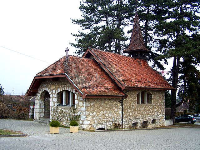
Vernier (Vernier)

 Hiking in Vernier
Vernier is a charming municipality located in the Canton of Geneva, Switzerland. While it may not be the first place that comes to mind when thinking of hiking, it provides access to some scenic trails and beautiful natural settings that can offer an enjoyable hiking experience. Here are a few points to consider when hiking in and around Vernier:
Local Trails
-
Vernier Parks: The municipality has several parks and green areas where you can enjoy leisurely walks. The Parc des Franchises and Parc de la Grange are good options for short hikes or walks in a natural setting.
-
Nearby Natural Reserves: Vernier is in proximity to the Rhône River, where you can find paths along the banks. The trails here can be great for hiking, biking, or just enjoying nature.
-
Jura Mountains: While Vernier itself is quite flat, it is relatively close to the Jura Mountains, which offer more challenging hikes and are just a short drive from Geneva. Trails in the Jura provide varying levels of difficulty with stunning views of the surrounding landscape.
Hiking Tips
- Weather: Always check the weather before heading out. The Swiss climate can change rapidly, especially in higher terrains.
- Navigation: Make sure to have a map or GPS device if you're venturing into the Jura Mountains, as trails can sometimes be less marked.
- Gear: Wear appropriate footwear and bring sufficient water and snacks, especially if you plan on hiking for several hours.
- Public Transport: Swiss public transportation is excellent, so you can easily reach starting points for hikes in the Jura or around Lake Geneva.
Scenic Highlights
- Lake Geneva: Many trails around Geneva lead toward beautiful views of Lake Geneva, especially as you move closer to the lakeside towns.
- Floral Diversity: The flora in and around Vernier can be quite rich, providing lovely sights of local plants and wildlife during your hikes.
Overall, while Vernier itself may not be a major hiking destination, its proximity to Geneva and the natural landscapes of the Jura Mountains makes it a convenient starting point for outdoor activities. Whether you're looking for a short walk in a park or a more challenging hike in the mountains, there's something to enjoy in the region.
- Страна:

- Почтовый код: 1214
- Телефонный код: 022
- Код автомобильного номера: GE
- Координаты: 46° 12' 39" N, 6° 5' 41" E


- GPS треки (wikiloc): [Ссылка]
- Высота над уровнем моря: 390 м m
- Площадь: 7.68 кв.км
- Население: 35132
- Веб сайт: http://www.vernier.ch
- Википедия английская: wiki(en)
- Википедия национальная: wiki(de)
- Хранилище Wikidata: Wikidata: Q63922
- Катеория в википедии: [Ссылка]
- код Freebase: [/m/06bd25]
- код GeoNames: Альт: [7287438]
- код VIAF: Альт: [242268045]
- ID отношения в OpenStreetMap: [1685540]
- код GND: Альт: [4344391-6]
- идентификатор местоположения ArchINFORM: [11100]
- идентификатор HDS: [2925]
- код места в Facebook: [104125899624686]
- код швейцарского муниципалитета: [6643]
Граничит с регионами:

Bernex
Hiking in Bernex
Bernex is a charming municipality located in the canton of Geneva, Switzerland, nestled at the foot of the Voirons mountains. It offers stunning views of the surrounding landscape and a variety of hiking opportunities that cater to different skill levels....
- Страна:
- Телефонный код: 022
- Код автомобильного номера: GE
- Координаты: 46° 10' 42" N, 6° 4' 6" E
- GPS треки (wikiloc): [Ссылка]
- Высота над уровнем моря: 430 м m
- Площадь: 12.95 кв.км
- Население: 10007
- Веб сайт: [Ссылка]