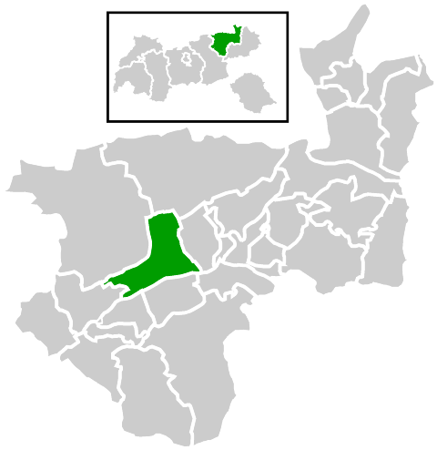
Ангерберг (Angerberg, Angerberg)

 Hiking in Ангерберг
Angerberg is a picturesque area in Tyrol, Austria, often appreciated for its stunning landscapes and extensive hiking opportunities. Situated in the scenic Inn Valley, it offers a variety of trails suitable for hikers of all levels, from leisurely walks to more challenging mountain treks.
Key Highlights for Hiking in Angerberg:
-
Varied Terrain: The region has diverse landscapes, including meadows, forests, and alpine terrain. This variety provides hikers with an opportunity to experience different natural settings within a single hike.
-
Scenic Views: Many trails offer breathtaking views of the surrounding mountains, particularly the majestic peaks of the Kitzbühel Alps. Don’t forget your camera to capture the stunning vistas!
-
Local Flora and Fauna: Depending on the season, you can encounter a range of wildflowers, alpine plants, and perhaps even wildlife such as deer and various bird species.
-
Well-marked Trails: The hiking trails in and around Angerberg are well-maintained and marked, making it easy for hikers to navigate. You can find routes that vary in difficulty, so both beginners and experienced hikers can find suitable paths.
-
Cultural Points of Interest: Along the trails, you may come across charming villages, traditional mountain huts, and historical sites. These can provide a nice break during a hike and a chance to experience local culture.
-
Accessibility: Angerberg is relatively accessible from larger cities like Innsbruck and Munich, making it a convenient spot for a day hike or a weekend getaway.
Popular Hiking Trails:
- Angerberger Rundweg: A circular trail that provides a moderate hiking experience with stunning views and opportunities to enjoy the local nature.
- Hiking to Mount Nockstein: This trail is more challenging but rewards hikers with panoramic views from the summit.
- Forststraße Trail: An easier option that’s perfect for families and beginners. It offers a pleasant walk through lush forest areas.
Tips for Hiking in Angerberg:
- Weather Check: Always check the weather forecast before heading out, as conditions can change rapidly in the mountains.
- Appropriate Gear: Wear proper hiking shoes, dress in layers, and bring essentials like water, snacks, and a first aid kit.
- Respect Nature: Stay on marked paths, and follow local guidelines to protect the environment.
- Local Maps and Guides: Consider picking up a local hiking map or getting in touch with a local hiking guide for the best routes and insider tips.
Whether you're looking for a challenging hike or a peaceful walk in nature, Angerberg offers something for everyone. Enjoy your hiking adventures!
- Страна:

- Почтовый код: 6320
- Телефонный код: 05332
- Код автомобильного номера: KU
- Координаты: 47° 30' 0" N, 12° 1' 0" E


- GPS треки (wikiloc): [Ссылка]
- Высота над уровнем моря: 650 м m
- Площадь: 19.53 кв.км
- Население: 1890
- Веб сайт: http://www.angerberg.at/
- Википедия русская: wiki(ru)
- Википедия английская: wiki(en)
- Википедия национальная: wiki(de)
- Хранилище Wikidata: Wikidata: Q538018
- Катеория в википедии: [Ссылка]
- код Freebase: [/m/02vx64v]
- код GeoNames: Альт: [7873658]
- код VIAF: Альт: [245403483]
- идентификатор местоположения ArchINFORM: [10349]
- код австрийского муниципалитета: [70528]
Граничит с регионами:

Брайтенбах-ам-Инн
- Политическая община в Австрии
Hiking in Брайтенбах-ам-Инн
Breitenbach am Inn is a charming village located in Tyrol, Austria, surrounded by stunning alpine scenery, making it an ideal destination for hiking enthusiasts. The area offers a variety of hiking trails suitable for different skill levels, from family-friendly walks to more challenging mountain hikes....
- Страна:
- Почтовый код: 6252
- Телефонный код: 05338
- Код автомобильного номера: KU
- Координаты: 47° 28' 44" N, 11° 58' 24" E
- GPS треки (wikiloc): [Ссылка]
- Высота над уровнем моря: 510 м m
- Площадь: 37.99 кв.км
- Население: 3475
- Веб сайт: [Ссылка]