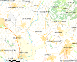
Обиньян (Aubignan, Aubignan)

- коммуна во Франции
 Hiking in Обиньян
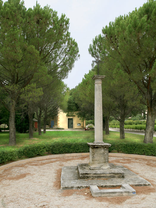
Aubignan, located in the Vaucluse department in the Provence-Alpes-Côte d'Azur region of southern France, offers a picturesque setting for hiking enthusiasts. The area is characterized by its beautiful landscapes, vineyards, and the backdrop of the majestic Mont Ventoux.
Hiking Opportunities in Aubignan
-
Local Trails: Aubignan is surrounded by various trails that cater to different skill levels. You can find well-marked paths that lead through vineyards, olive groves, and rolling hills. These trails often provide stunning views of the countryside.
-
Mont Ventoux: One of the prominent hiking destinations near Aubignan is Mont Ventoux, known as the "Giant of Provence." The hike to the summit is challenging but rewarding, offering panoramic views of the surrounding region. There are multiple routes to the top, with options ranging from moderate to strenuous.
-
The Dentelles de Montmirail: Located to the east of Aubignan, these limestone ridges offer breathtaking hiking trails with stunning views and dramatic scenery. The trails vary in difficulty, and you can enjoy the unique geology and diverse flora of the area.
-
Vaucluse Mountains: This nearby mountain range also has several trails that lead through beautiful landscapes. You can find trails that take you through forests, along rivers, and past charming villages.
Tips for Hiking in Aubignan
-
Best Time to Go: The best time for hiking in Aubignan is during spring (April to June) and fall (September to October) when the weather is mild, and the landscapes are particularly beautiful.
-
Preparation: Make sure to bring plenty of water, sunscreen, and snacks, especially for longer hikes. It's also wise to wear appropriate hiking shoes and clothing.
-
Maps and Guides: While many trails are well-marked, having a map or GPS device is helpful. Local tourist information centers can provide maps and additional information about trails.
-
Guided Tours: If you're unfamiliar with the area, consider joining a guided hiking tour. Many local companies offer guided walks that provide insights into the local flora, fauna, and history.
Aubignan's natural beauty and proximity to various hiking trails make it a great destination for outdoor enthusiasts looking to explore the charms of Provence.
- Страна:

- Почтовый код: 84810
- Координаты: 44° 5' 59" N, 5° 1' 31" E


- GPS треки (wikiloc): [Ссылка]
- Площадь: 15.7 кв.км
- Население: 5533
- Веб сайт: http://www.aubignan.fr
- Википедия русская: wiki(ru)
- Википедия английская: wiki(en)
- Википедия национальная: wiki(fr)
- Хранилище Wikidata: Wikidata: Q658812
- Катеория в википедии: [Ссылка]
- код Freebase: [/m/0c39r0]
- код GeoNames: Альт: [3036359]
- номер SIREN: [218400042]
- код BNF: [152779851]
- код VIAF: Альт: [158343614]
- ID отношения в OpenStreetMap: [147754]
- код GND: Альт: [4592646-3]
- код LCNAF: Альт: [n85189198]
- код тезауруса PACTOLS: [pcrtvWHgSnSUn3]
- код муниципалитета INSEE: 84004
Граничит с регионами:

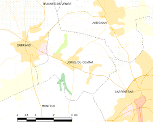
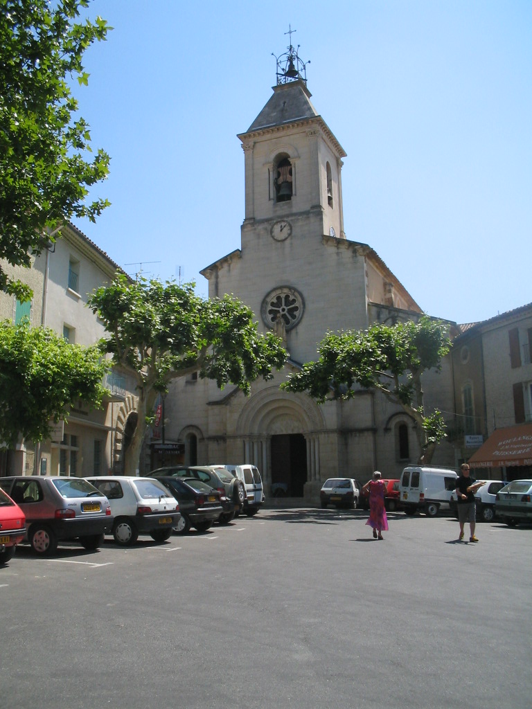
Лориоль-дю-Конта
- коммуна во Франции
Hiking in Лориоль-дю-Конта
Loriol-du-Comtat is a charming village in southeastern France, located in the Vaucluse department of the Provence-Alpes-Côte d'Azur region. This area is known for its beautiful landscapes, picturesque vineyards, and proximity to the southern Rhône Valley. Hiking in and around Loriol-du-Comtat offers a range of scenic trails that cater to different skill levels....
- Страна:
- Почтовый код: 84870
- Координаты: 44° 4' 35" N, 5° 0' 2" E
- GPS треки (wikiloc): [Ссылка]
- Площадь: 11.29 кв.км
- Население: 2570
- Веб сайт: [Ссылка]
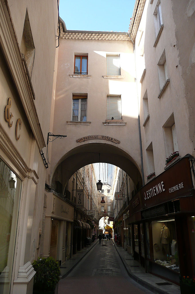

Карпантра
- коммуна во Франции
Hiking in Карпантра
Carpentras, located in the Vaucluse department of the Provence-Alpes-Côte d'Azur region in southeastern France, offers a variety of hiking opportunities amidst stunning landscapes. Here are some highlights:...
- Страна:
- Почтовый код: 84200
- Координаты: 44° 3' 18" N, 5° 2' 53" E
- GPS треки (wikiloc): [Ссылка]
- Высота над уровнем моря: 95 м m
- Площадь: 37.92 кв.км
- Население: 28699
- Веб сайт: [Ссылка]

Бом-де-Вениз
- коммуна во Франции
Hiking in Бом-де-Вениз
Beaumes-de-Venise is a picturesque village located in the Vaucluse department of the Provence-Alpes-Côte d'Azur region in France. The area is well-known for its stunning landscapes, vineyards, and proximity to the Dentelles de Montmirail mountain range, making it a great destination for hiking enthusiasts. Here are some key highlights about hiking in this region:...
- Страна:
- Почтовый код: 84190
- Координаты: 44° 7' 22" N, 5° 1' 50" E
- GPS треки (wikiloc): [Ссылка]
- Площадь: 18.89 кв.км
- Население: 2387
- Веб сайт: [Ссылка]

Саррьян
- коммуна во Франции
Hiking in Саррьян
Sarrians is a commune located in the Vaucluse department of the Provence-Alpes-Côte d'Azur region in southeastern France. Surrounded by the beauty of the Provençal countryside, Sarrians offers a variety of hiking opportunities that cater to different levels of experience and preferences....
- Страна:
- Почтовый код: 84260
- Координаты: 44° 5' 0" N, 4° 58' 16" E
- GPS треки (wikiloc): [Ссылка]
- Площадь: 37.49 кв.км
- Население: 5930
- Веб сайт: [Ссылка]

Сен-Ипполит-ле-Гравейрон
- коммуна во Франции
Hiking in Сен-Ипполит-ле-Гравейрон
Saint-Hippolyte-le-Graveyron is a charming commune located in the Vaucluse department of the Provence-Alpes-Côte d'Azur region in southeastern France. It is known for its beautiful landscapes, serene atmosphere, and proximity to several natural and cultural attractions, making it an appealing destination for hikers and outdoor enthusiasts....
- Страна:
- Почтовый код: 84330
- Координаты: 44° 7' 22" N, 5° 4' 28" E
- GPS треки (wikiloc): [Ссылка]
- Высота над уровнем моря: 170 м m
- Площадь: 4.94 кв.км
- Население: 182