Бардонне (Bardonnex, Bardonnex)

 Hiking in Бардонне
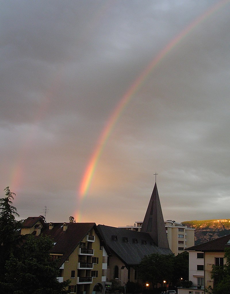
Bardonnex, located in the Haute-Savoie region of France near the Swiss border, offers a variety of outdoor experiences, including numerous hiking trails that cater to different skill levels. The beautiful landscapes, with views of the surrounding mountains and valleys, make it a fantastic destination for hikers.
Key Hiking Features in Bardonnex:
-
Scenic Trails: The area boasts a mix of forested paths, alpine meadows, and panoramic viewpoints. You can expect to enjoy stunning vistas of the Mont Blanc range and the surrounding Alps.
-
Diverse Terrain: Hikes range from easy walks suitable for families to more challenging routes that require a good fitness level. Some trails may lead you through lush forests, while others might lead you across rocky terrains.
-
Historical Sites: Along your hikes, you may encounter local historical sites, including chapels and remnants of old settlements, adding an educational component to your outdoor adventure.
-
Accessibility: Bardonnex is accessible from major cities in the region, making it a convenient option for day hikes or weekend getaways.
-
Nature and Wildlife: The region is home to diverse flora and fauna, so keep an eye out for local wildlife and enjoy the natural beauty along the trails.
Popular Hiking Routes:
- Le Mont Salève: Just a short distance from Bardonnex, you can hike up Mont Salève for breathtaking views of Geneva and Lake Geneva.
- Les Voirons: A series of trails that offer a mix of nature and panoramic views, perfect for a day hike.
- Col de la Croisette: A popular spot for both hiking and mountain biking, providing numerous routes to explore.
Tips for Hiking in Bardonnex:
- Check Weather Conditions: Always check the weather before heading out as conditions can change rapidly in mountainous regions.
- Bring Essentials: Make sure to pack essentials such as water, snacks, a map, and a first-aid kit.
- Footwear: Wear appropriate hiking footwear, as some trails can be steep or rocky.
- Respect Nature: Follow Leave No Trace principles to protect the fragile environment.
Whether you’re looking for a relaxed stroll or a more rigorous hike, Bardonnex has something to offer every hiking enthusiast. Enjoy the journey and the beautiful surroundings!
- Страна:

- Телефонный код: 022
- Код автомобильного номера: GE
- Координаты: 46° 8' 0" N, 6° 6' 0" E


- GPS треки (wikiloc): [Ссылка]
- Высота над уровнем моря: 470 м m
- Площадь: 5.0 кв.км
- Население: 2215
- Веб сайт: http://www.bardonnex.ch
- Википедия русская: wiki(ru)
- Википедия английская: wiki(en)
- Википедия национальная: wiki(de)
- Хранилище Wikidata: Wikidata: Q68191
- Катеория в википедии: [Ссылка]
- Карты в википедии: [Ссылка]
- код Freebase: [/m/06blvg]
- код GeoNames: Альт: [7285154]
- код VIAF: Альт: [234694698]
- ID отношения в OpenStreetMap: [1685449]
- идентификатор HDS: [2887]
- код швейцарского муниципалитета: [6605]
Граничит с регионами:

Сен-Жюльен-ан-Женевуа
- коммуна во Франции
Hiking in Сен-Жюльен-ан-Женевуа
Saint-Julien-en-Genevois is a charming town nestled between the beautiful Jura Mountains and the French-Swiss border. It serves as an excellent base for hikers looking to explore the surrounding natural landscapes. Here’s a brief overview of hiking in the area:...
- Страна:

- Почтовый код: 74160
- Координаты: 46° 8' 39" N, 6° 5' 3" E
- GPS треки (wikiloc): [Ссылка]
- Площадь: 10.59 кв.км
- Население: 14085
- Веб сайт: [Ссылка]


План-лез-Уат
Hiking in План-лез-Уат
Plan-les-Ouates, located near Geneva in Switzerland, offers a variety of hiking opportunities that cater to both beginners and experienced hikers. While it's primarily known as a residential area, its proximity to the surrounding natural landscapes makes it a great base for exploration....
- Страна:
- Почтовый код: 1228
- Телефонный код: 022
- Код автомобильного номера: GE
- Координаты: 46° 9' 50" N, 6° 7' 9" E
- GPS треки (wikiloc): [Ссылка]
- Высота над уровнем моря: 427 м m
- Площадь: 5.86 кв.км
- Население: 10697
- Веб сайт: [Ссылка]