План-лез-Уат (Plan-les-Ouates, Plan-les-Ouates)

 Hiking in План-лез-Уат
Plan-les-Ouates, located near Geneva in Switzerland, offers a variety of hiking opportunities that cater to both beginners and experienced hikers. While it's primarily known as a residential area, its proximity to the surrounding natural landscapes makes it a great base for exploration.
Key Hiking Trails and Areas:
-
Les Voirons: Just a short drive from Plan-les-Ouates, this mountain range offers several hiking trails with stunning views of Lake Geneva and the Alps. Trails vary in difficulty, providing options for all skill levels.
-
Mount Salève: Easily accessible from Plan-les-Ouates, Mount Salève is a popular hiking destination. Trails range from easy to challenging, and the summit provides panoramic views across the city and the lake. You can also access it via a cable car if you prefer a less strenuous approach.
-
Natural Reserves: The nearby natural reserves, such as the La Bâtie Nature Reserve, offer lush landscapes and varied wildlife, making for peaceful hikes. These areas often have well-marked paths that are suitable for families and nature lovers.
-
Lac des Chavonnes: This picturesque lake is a great spot for a leisurely hike. The trails around the lake offer easy walking routes and beautiful scenery, perfect for picnics.
Tips for Hiking in Plan-les-Ouates:
-
Equipment: Ensure you have appropriate footwear, water, and snacks. Depending on the trail and weather, consider carrying additional layers for warmth.
-
Seasonal Considerations: The best time to hike typically ranges from late spring to early autumn (May-October). Although some trails may be accessible in winter, proper gear is essential.
-
Weather Awareness: Always check the weather before you head out, as conditions can change rapidly in the mountains.
-
Navigation: While many trails are well-marked, carrying a map or using a hiking app on your phone is advised for finding your way.
-
Respect Nature: Stick to marked trails, take your trash with you, and be mindful of local wildlife.
Overall, while Plan-les-Ouates may not be a well-known hiking destination in its own right, its location and access to nearby trails make it an excellent starting point for hiking adventures in the stunning Swiss landscape.
- Страна:

- Почтовый код: 1228
- Телефонный код: 022
- Код автомобильного номера: GE
- Координаты: 46° 9' 50" N, 6° 7' 9" E


- GPS треки (wikiloc): [Ссылка]
- Высота над уровнем моря: 427 м m
- Площадь: 5.86 кв.км
- Население: 10697
- Веб сайт: http://www.plan-les-ouates.ch
- Википедия русская: wiki(ru)
- Википедия английская: wiki(en)
- Википедия национальная: wiki(de)
- Хранилище Wikidata: Wikidata: Q65273
- Катеория в википедии: [Ссылка]
- код Freebase: [/m/089ns3]
- код GeoNames: Альт: [7286803]
- код VIAF: Альт: [133099197]
- ID отношения в OpenStreetMap: [1685523]
- код LCNAF: Альт: [no2011122640]
- идентификатор HDS: [2915]
- код швейцарского муниципалитета: [6633]
Граничит с регионами:
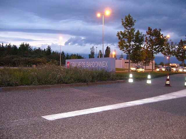
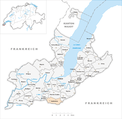
Бардонне
Hiking in Бардонне
Bardonnex, located in the Haute-Savoie region of France near the Swiss border, offers a variety of outdoor experiences, including numerous hiking trails that cater to different skill levels. The beautiful landscapes, with views of the surrounding mountains and valleys, make it a fantastic destination for hikers....
- Страна:
- Телефонный код: 022
- Код автомобильного номера: GE
- Координаты: 46° 8' 0" N, 6° 6' 0" E
- GPS треки (wikiloc): [Ссылка]
- Высота над уровнем моря: 470 м m
- Площадь: 5.0 кв.км
- Население: 2215
- Веб сайт: [Ссылка]