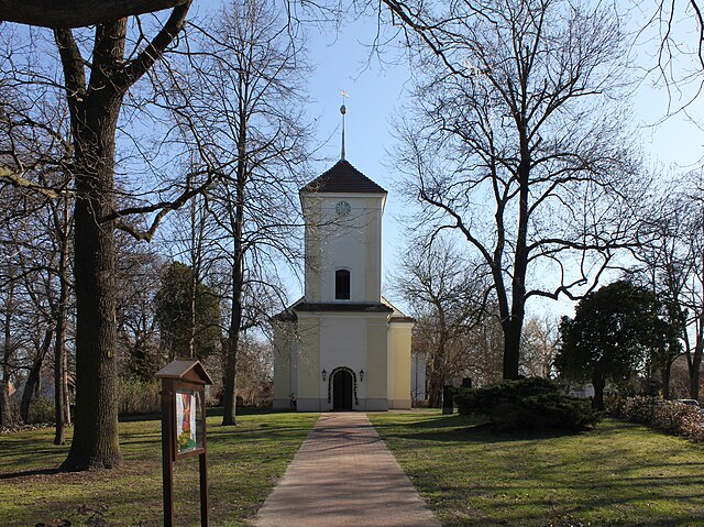
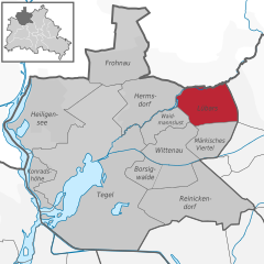
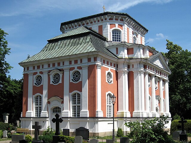
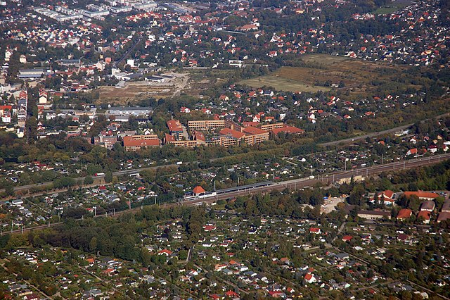
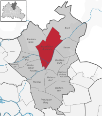
Бланкенфельде (Blankenfelde, Blankenfelde)
- район в Берлине
 Hiking in Бланкенфельде
Blankenfelde, located in the state of Brandenburg, Germany, offers a variety of hiking opportunities amidst its picturesque landscapes, including forests, fields, and small lakes. Here are some highlights of hiking in the area:
-
Trails: Blankenfelde features a network of well-marked trails suitable for hikers of all skill levels. You can find both short walks and longer treks that allow you to explore the natural beauty of the region.
-
Natural Scenery: The area is characterized by its serene countryside, wooded areas, and local wildlife. Hikers can enjoy the sights and sounds of nature, including birdwatching opportunities.
-
Nearby Parks: The region is home to parks and nature reserves, such as the more extensive Schönower Heide or the surrounding forests, where you can immerse yourself in the outdoors.
-
Accessibility: Blankenfelde is easily accessible from Berlin and other nearby cities, making it a popular destination for day hikes and weekend getaways.
-
Facilities: Depending on the trails you choose, there may be facilities such as rest areas, picnic spots, and local inns or cafes where you can enjoy refreshments after your hike.
-
Seasonal Considerations: Each season brings a different experience—spring and summer offer lush greenery, while autumn boasts vibrant foliage. Winter hikes provide a tranquil and different perspective of the landscape.
-
Safety Tips: As with any hiking venture, ensure you are prepared with appropriate gear, check the weather conditions before heading out, and carry sufficient water and snacks.
Remember to respect the natural environment by sticking to marked trails and following local regulations to help preserve the beauty of the area for future hikers. Enjoy your hiking exploration in Blankenfelde!
- Страна:

- Координаты: 52° 37' 7" N, 13° 23' 26" E


- GPS треки (wikiloc): [Ссылка]
- Высота над уровнем моря: 53 м m
- Площадь: 13.4 кв.км
- Википедия русская: wiki(ru)
- Википедия английская: wiki(en)
- Википедия национальная: wiki(de)
- Хранилище Wikidata: Wikidata: Q702621
- Галерея изображений в википедии: [Ссылка]
- Катеория в википедии: [Ссылка]
- Карты в википедии: [Ссылка]
- код Freebase: [/m/0bs8nl_]
- код GeoNames: Альт: [2948064]
- код VIAF: Альт: [246104266]
- код GND: Альт: [4087304-3]
- идентификатор местоположения ArchINFORM: [43344]
Граничит с регионами:
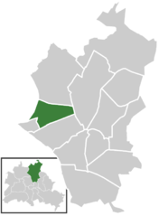
Любарс
- район в Берлине
Hiking in Любарс
Lübars, located in the northern part of Berlin, Germany, is a charming district that offers beautiful green spaces and opportunities for hiking and outdoor activities. While it may not be as well-known as other hiking destinations, it provides a delightful escape into nature within the city....
- Страна:
- Координаты: 52° 37' 0" N, 13° 22' 0" E
- GPS треки (wikiloc): [Ссылка]
- Высота над уровнем моря: 53 м m
- Площадь: 5 кв.км
- Население: 4969

Бух
- район в Берлине
Hiking in Бух
Buch, located in the northeastern part of Berlin, offers various hiking and outdoor opportunities, although it’s not a sprawling wilderness. Instead, it features accessible paths, parks, and green spaces that provide a pleasant environment for hiking and nature walks....
- Страна:
- Координаты: 52° 38' 0" N, 13° 30' 0" E
- GPS треки (wikiloc): [Ссылка]
- Высота над уровнем моря: 57 м m
- Площадь: 18.2 кв.км
- Население: 12674
Францёзиш-Буххольц
- район в Берлине
Hiking in Францёзиш-Буххольц
Französisch Buchholz is a charming district located in the northern part of Berlin, Germany. While it may not be a traditional hiking destination like some of Germany's national parks, there are still several beautiful spots and trails in and around this area that offer pleasant walking and hiking experiences....
- Страна:
- Координаты: 52° 36' 0" N, 13° 26' 0" E
- GPS треки (wikiloc): [Ссылка]
- Высота над уровнем моря: 46 м m
- Площадь: 12 кв.км

Розенталь
- район Берлина
Hiking in Розенталь
Rosenthal is a district in the northeastern part of Berlin, known for its natural beauty and green spaces, making it a lovely destination for hiking and outdoor activities. Though it's not a vast or well-known hiking hub compared to some larger parks or forests, it still offers some nice opportunities for nature walks and hikes....
- Страна:
- Координаты: 52° 35' 57" N, 13° 22' 38" E
- GPS треки (wikiloc): [Ссылка]
- Высота над уровнем моря: 47 м m
- Площадь: 4.9 кв.км