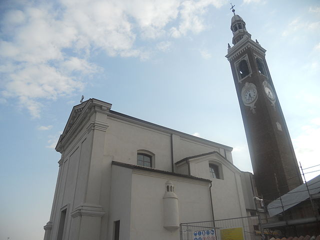
Камайраго (Camairago, Camairago)
.svg)
- коммуна Италии
 Hiking in Камайраго
Camairago, a small town in the Lombardy region of Italy, is not primarily known as a hiking destination. However, its surrounding areas offer opportunities for hiking and enjoying nature. While the town itself may not have extensive trails, you can explore nearby regions for outdoor activities.
Nearby Hiking Options:
-
Parco Locale di Interesse Regionale dell'Adda Sud: This regional park along the Adda River features various trails, perfect for hiking and enjoying the natural landscape, wildlife, and some historical sites. You can find paths suitable for all levels of hikers.
-
Montevecchia and Curone Valley Regional Park: Located a short drive from Camairago, this park offers scenic trails with beautiful views of the Lombard plains. The trails range from easy to moderate difficulty and pass through charming villages, woodlands, and agricultural lands.
-
The Brianza Hills: Further northeast, the hills of Brianza offer numerous trails that provide stunning vistas of the surrounding lakes and mountains. This area is great for both hiking and mountain biking.
Tips for Hiking in the Region:
- Seasonal Considerations: Be aware of the seasons. Spring and autumn are ideal for hiking, as temperatures are mild and the landscapes are particularly beautiful.
- Trail Maps: Always check for trail maps and local guides to find the best routes and ensure your safety.
- Equipment: Wear suitable hiking footwear, and carry water, snacks, a first-aid kit, and weather-appropriate clothing.
- Local Culture: Take time to explore local culture, food, and historical sites during your hikes.
In summary, while Camairago may not be a prominent hiking hub, its location allows for access to beautiful hiking trails in the surrounding Lombardy region. Enjoy your hiking adventures!
- Страна:

- Почтовый код: 26823
- Телефонный код: 0377
- Код автомобильного номера: LO
- Координаты: 45° 12' 22" N, 9° 43' 42" E


- GPS треки (wikiloc): [Ссылка]
- Высота над уровнем моря: 53 м m
- Площадь: 12.77 кв.км
- Население: 643
- Веб сайт: http://www.comune.camairago.lo.it
- Википедия русская: wiki(ru)
- Википедия английская: wiki(en)
- Википедия национальная: wiki(it)
- Хранилище Wikidata: Wikidata: Q42377
- Катеория в википедии: [Ссылка]
- код Freebase: [/m/0gr54r]
- код GeoNames: Альт: [6541386]
- код VIAF: Альт: [235288814]
- ID отношения в OpenStreetMap: [44423]
- код ISTAT: 098007
- кадастровый код Италии: B456
Граничит с регионами:


Кастильоне-д'Адда
- коммуна Италии
Hiking in Кастильоне-д'Адда
Castiglione d'Adda, a small town in the Lombardy region of Italy, is known for its picturesque landscapes along the Adda River. While it's not a major hiking destination compared to other areas in Italy, it offers some beautiful natural scenery and opportunities for leisurely walks and hikes....
- Страна:
- Почтовый код: 26823
- Телефонный код: 0377
- Код автомобильного номера: LO
- Координаты: 45° 13' 11" N, 9° 41' 43" E
- GPS треки (wikiloc): [Ссылка]
- Высота над уровнем моря: 60 м m
- Площадь: 12.98 кв.км
- Население: 4651
- Веб сайт: [Ссылка]


Кодоньо
- коммуна Италии
Hiking in Кодоньо
Codogno is a town located in the Lombardy region of Italy, primarily known for its agricultural landscape and historical charm. While Codogno itself may not be a major hiking destination, there are several scenic areas and trails nearby that can provide a pleasant hiking experience....
- Страна:
- Почтовый код: 26845
- Телефонный код: 0377
- Код автомобильного номера: LO
- Координаты: 45° 9' 46" N, 9° 42' 12" E
- GPS треки (wikiloc): [Ссылка]
- Высота над уровнем моря: 58 м m
- Площадь: 20.87 кв.км
- Население: 15901
- Веб сайт: [Ссылка]


Терранова-дей-Пассерини
- коммуна Италии
Hiking in Терранова-дей-Пассерини
Terranova dei Passerini is a charming municipality located in the Province of Lodi, in the Lombardy region of northern Italy. While it may not be a major hiking destination like some of the more mountainous regions of Italy, it offers a peaceful and scenic environment for outdoor enthusiasts who enjoy exploring less-trodden paths....
- Страна:
- Почтовый код: 26827
- Телефонный код: 0377
- Код автомобильного номера: LO
- Координаты: 45° 12' 58" N, 9° 36' 46" E
- GPS треки (wikiloc): [Ссылка]
- Высота над уровнем моря: 63 м m
- Площадь: 11.26 кв.км
- Население: 918
- Веб сайт: [Ссылка]


Пиццигеттоне
- коммуна Италии
Hiking in Пиццигеттоне
Pizzighettone, located in the Lombardy region of Italy, offers a unique blend of history and nature for hiking enthusiasts. While it may not be as famous for hiking trails as some of the mountainous regions in Italy, it does have its own charm, particularly with its scenic surroundings and historical features....
- Страна:
- Почтовый код: 26026
- Телефонный код: 0372
- Код автомобильного номера: CR
- Координаты: 45° 11' 0" N, 9° 47' 0" E
- GPS треки (wikiloc): [Ссылка]
- Высота над уровнем моря: 46 м m
- Площадь: 32.06 кв.км
- Население: 6501
- Веб сайт: [Ссылка]

Формигара
- коммуна Италии
Hiking in Формигара
Formigara is a lesser-known yet beautiful hiking destination in Italy, nestled within the picturesque Pavia province of Lombardy. It is part of the larger Lombardy region, known for its stunning landscapes, historical sites, and diverse flora and fauna. While Formigara itself may not be a prominent hiking area like some of the more famous national parks or mountains in Italy, it offers a serene environment for nature lovers and hikers....
- Страна:
- Почтовый код: 26020
- Телефонный код: 0374
- Код автомобильного номера: CR
- Координаты: 45° 14' 0" N, 9° 46' 0" E
- GPS треки (wikiloc): [Ссылка]
- Высота над уровнем моря: 56 м m
- Площадь: 12.64 кв.км
- Население: 1031
- Веб сайт: [Ссылка]