District 11 (Kreis 11)

 Hiking in District 11
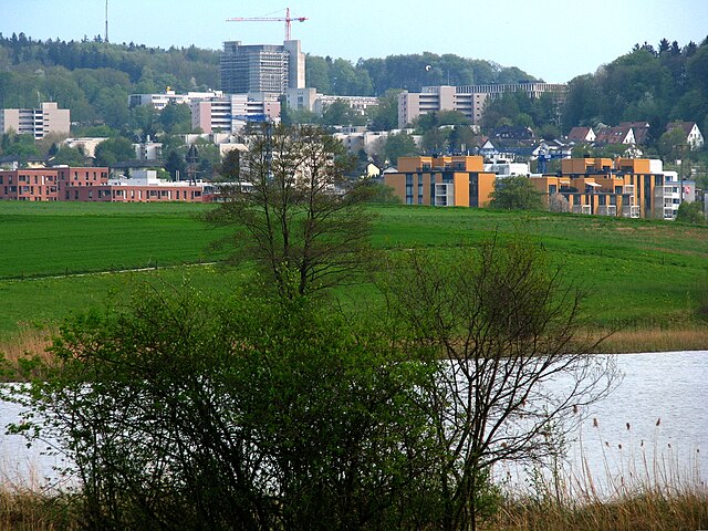
District 11, known as Altstetten in Zürich, is primarily an urban area and does not boast extensive hiking trails within its immediate vicinity. However, it is conveniently located near various green spaces and parks, making it possible to enjoy shorter walks or hikes.
Here are a few options for hiking and outdoor activities near District 11:
-
Uetliberg: This is one of the most popular hiking destinations close to Zürich. You can easily reach the trailhead via public transport. The Uetliberg offers several well-marked trails with stunning views of the city, Lake Zürich, and the Alps.
-
Waldgarten: Located in nearby parks, such as the local botanical garden, these areas often have nice walking paths that can simulate a mild hiking experience, perfect for leisurely outings.
-
Zürich Woods: The areas surrounding Altstetten contain various wooded paths suitable for walking or hiking. The nearby forests provide tranquility while still being close to urban amenities.
-
Limmattal Cycle & Walking Path: This path runs along the Limmat River and offers a scenic route that can be enjoyed by foot or bike. It’s a great way to explore the natural beauty along the river away from the busy city streets.
-
Excursions to the Zürich Oberland: For more extensive hiking, you can take a short train ride to nearby locations such as the Zürich Oberland, where you will find a variety of trails in a more mountainous landscape.
Recommendations
- Footwear: Ensure you have sturdy hiking boots or shoes, especially if you plan to venture on uneven trails.
- Map and Apps: Use hiking apps or maps to find suitable trails, with information on difficulty and duration.
- Weather: Check the weather conditions before planning a hike, as weather can change rapidly in the mountains.
- Public Transport: Utilize Zürich’s excellent public transport system to reach trailheads easily.
Although District 11 itself may not have long hiking trails, with a bit of travel, you can access some beautiful landscapes and hiking opportunities around Zürich. Enjoy your outdoor adventures!
- Страна:

- Координаты: 47° 25' 23" N, 8° 31' 17" E


- GPS треки (wikiloc): [Ссылка]
- Площадь: 13.4 кв.км
- Википедия английская: wiki(en)
- Википедия национальная: wiki(de)
- Хранилище Wikidata: Wikidata: Q870098
- код Freebase: [/m/03h4_dx]
- код GeoNames: Альт: [6295533]
- идентификатор местоположения ArchINFORM: [16655]
Включает регионы:
Oerlikon
Hiking in Oerlikon
Oerlikon is a district in Zürich, Switzerland, known more for its urban environment than traditional hiking trails. However, if you're interested in hiking around this area, there are some great opportunities nearby....
- Страна:
- Почтовый код: 8050, 8057
- Код автомобильного номера: ZH
- Координаты: 47° 25' 0" N, 8° 33' 0" E
- GPS треки (wikiloc): [Ссылка]
- Высота над уровнем моря: 459 м m
- Площадь: 267.46 кв.км
- Население: 22815
Зебах
- статистический округ Цюриха
Hiking in Зебах
Seebach is a district located in the city of Zürich, Switzerland, known more for its urban environment. However, it does provide access to various nearby hiking options, particularly in the surrounding regions. Here are some insights into hiking activities near Seebach and in the greater Zürich area:...
- Страна:
- Почтовый код: 8050, 8052
- Код автомобильного номера: ZH
- Координаты: 47° 25' 10" N, 8° 32' 52" E
- GPS треки (wikiloc): [Ссылка]
- Высота над уровнем моря: 436 м m
- Население: 25817

Affoltern
Hiking in Affoltern
Affoltern am Zürichsee, often simply referred to as Affoltern, is a beautiful town situated in the Zurich region of Switzerland, surrounded by picturesque landscapes ideal for hiking enthusiasts. Here are some key highlights for hiking in Affoltern and its surrounding areas:...
- Страна:
- Код автомобильного номера: ZH
- Координаты: 47° 25' 16" N, 8° 30' 26" E
- GPS треки (wikiloc): [Ссылка]
- Высота над уровнем моря: 466 м m
- Население: 26177