
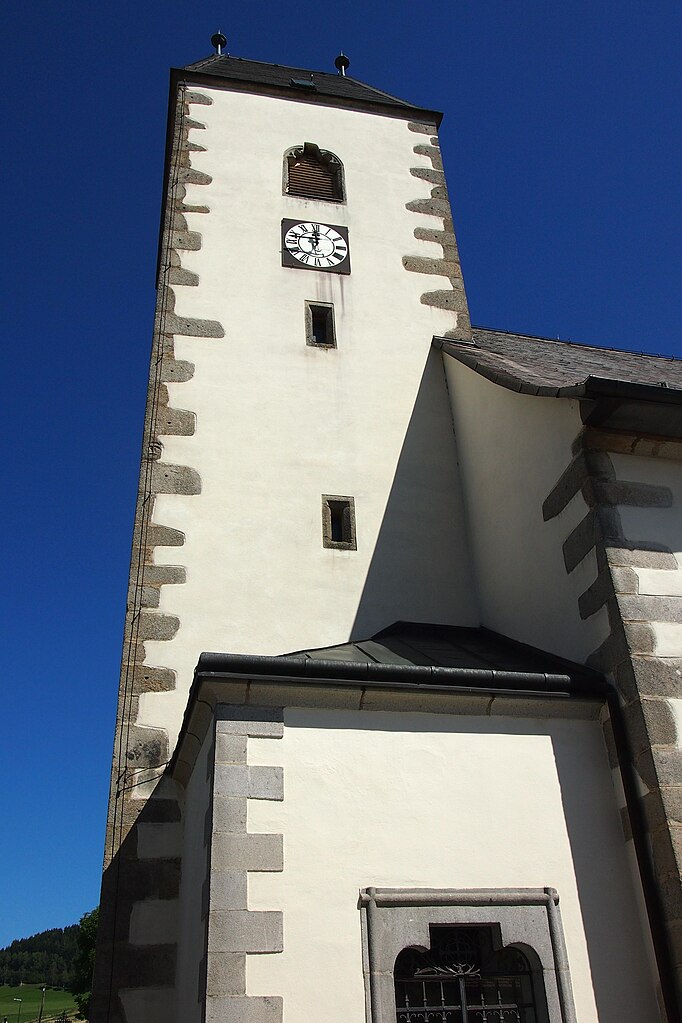
Фрайштадт (Freistadt, Freistadt)
 Hiking in Фрайштадт
Freistadt, located in the Upper Austria region, is surrounded by beautiful landscapes that are ideal for hiking enthusiasts. The area features a variety of trails that cater to different skill levels, from gentle walks suitable for families to more challenging hikes for experienced adventurers.
Hiking Trails
-
Mühlviertel Region: Freistadt is part of the Mühlviertel region, known for its rolling hills, dense forests, and scenic views. Various marked hiking routes provide access to the natural beauty of the region.
-
St. Leonhard’s Trail: This is one of the popular routes that lead hikers through charming villages, lush greenery, and historical sites. It offers a great way to experience the local culture and environment.
-
Bergbauernweg Trail: As a more difficult option, this trail provides incredible views and leads hikers through diverse landscapes, including orchards and forests.
Tips for Hiking in Freistadt
- Weather Check: Always check the weather conditions before heading out, as they can change rapidly in mountainous areas.
- Proper Gear: Wear appropriate hiking boots, and bring layers, as temperatures can vary. Don't forget to pack water and snacks.
- Follow Trail Markers: Ensure you stay on marked paths to avoid getting lost and to protect the natural environment.
- Wildlife Awareness: Be mindful of local wildlife and respect their habitats.
Local Attractions
While hiking in Freistadt, it’s also worth exploring its historical sites, such as the old town center, the Gothic St. Mary's Church, and various cultural landmarks.
Conclusion
Hiking in Freistadt offers a rewarding experience with its stunning natural scenery and rich cultural heritage. Whether you're a beginner or an experienced hiker, you’re likely to find trails that will enhance your outdoor adventure. Always prioritize safety and environmental respect to ensure a great hiking experience.
- Страна:

- Почтовый код: 4240
- Телефонный код: 07942
- Код автомобильного номера: FR
- Координаты: 48° 30' 42" N, 14° 30' 22" E


- GPS треки (wikiloc): [Ссылка]
- Высота над уровнем моря: 560 м m
- Площадь: 12.88 кв.км
- Население: 7909
- Веб сайт: http://www.freistadt.at/
- Википедия русская: wiki(ru)
- Википедия английская: wiki(en)
- Википедия национальная: wiki(de)
- Хранилище Wikidata: Wikidata: Q143140
- Катеория в википедии: [Ссылка]
- Карты в википедии: [Ссылка]
- код Freebase: [/m/0bn7bt]
- код GeoNames: Альт: [2779275]
- код VIAF: Альт: [139725364]
- код GND: Альт: [4093242-4]
- идентификатор местоположения ArchINFORM: [10378]
- код LCNAF: Альт: [n97003490]
- место в MusicBrainz: [6ba3dfe0-b1b3-478e-81ca-cc33b5265208]
- код темы Quora: [Freistadt]
- код в энциклопедии «Британника онлайн»: [place/Freistadt]
- EMLO location ID: [f553a901-24b6-410f-bc54-9e46bfdd20f5]
- код австрийского муниципалитета: [40601]
- код GAMEO: [Freistadt (Oberösterreich, Austria)]
Граничит с регионами:
Грюнбах
Hiking in Грюнбах
Grünbach is a charming area located in Upper Austria, known for its beautiful landscapes and hiking opportunities. Here are some key points about hiking in Grünbach:...
- Страна:
- Почтовый код: 4264
- Телефонный код: 07942
- Код автомобильного номера: FR
- Координаты: 48° 32' 20" N, 14° 32' 10" E
- GPS треки (wikiloc): [Ссылка]
- Высота над уровнем моря: 721 м m
- Площадь: 36.1 кв.км
- Население: 1887
- Веб сайт: [Ссылка]

Кефермаркт
Hiking in Кефермаркт
Kefermarkt, located in the Mühlviertel region of Austria, offers a scenic and tranquil environment for hiking enthusiasts. The area is characterized by beautiful landscapes, rolling hills, forests, and meadows, providing a perfect backdrop for outdoor activities....
- Страна:
- Почтовый код: 4292
- Телефонный код: 07947
- Код автомобильного номера: FR
- Координаты: 48° 26' 37" N, 14° 31' 2" E
- GPS треки (wikiloc): [Ссылка]
- Высота над уровнем моря: 516 м m
- Площадь: 27.8 кв.км
- Население: 2083
- Веб сайт: [Ссылка]

Райнбах
Hiking in Райнбах
Rainbach im Mühlkreis, located in the scenic region of Upper Austria, offers a lovely hiking experience for outdoor enthusiasts. The area is characterized by its lush forests, rolling hills, and picturesque views of the surrounding countryside, making it an ideal destination for hikers of all levels....
- Страна:
- Почтовый код: 4261
- Телефонный код: 07949
- Код автомобильного номера: FR
- Координаты: 48° 33' 40" N, 14° 28' 40" E
- GPS треки (wikiloc): [Ссылка]
- Высота над уровнем моря: 719 м m
- Площадь: 49.1 кв.км
- Население: 2959
- Веб сайт: [Ссылка]

Вальдбург
Hiking in Вальдбург
Waldburg, located in the picturesque region of Austria, is not only a charming village but also offers various opportunities for hiking enthusiasts. Nestled in the Austrian countryside, it provides access to stunning landscapes, rich flora, and opportunities to explore the unique alpine environment. Here are some aspects to consider when hiking in and around Waldburg:...
- Страна:
- Почтовый код: 4240
- Телефонный код: 07942
- Код автомобильного номера: FR
- Координаты: 48° 30' 30" N, 14° 26' 20" E
- GPS треки (wikiloc): [Ссылка]
- Высота над уровнем моря: 685 м m
- Площадь: 26.58 кв.км
- Население: 1375
- Веб сайт: [Ссылка]

Ноймаркт
- община в Австрии, Верхняя Австрия, Фрайштадт
Hiking in Ноймаркт
Neumarkt im Mühlkreis, located in the Upper Austria region, is a beautiful destination for hiking enthusiasts. The area is known for its stunning landscapes, featuring rolling hills, lush forests, and picturesque views of the Mühlviertel region. Here are some key highlights of hiking in and around Neumarkt im Mühlkreis:...
- Страна:
- Почтовый код: 4212
- Телефонный код: 07941
- Код автомобильного номера: FR
- Координаты: 48° 25' 40" N, 14° 29' 0" E
- GPS треки (wikiloc): [Ссылка]
- Высота над уровнем моря: 632 м m
- Площадь: 46.7 кв.км
- Население: 3163
- Веб сайт: [Ссылка]

Ласберг
Hiking in Ласберг
Lasberg, a scenic village in Austria, offers some beautiful hiking opportunities that cater to various skill levels. Situated in the Mühlviertel region of Upper Austria, it features rolling hills, lush forests, and serene landscapes. Here are some highlights and tips for hiking in Lasberg:...
- Страна:
- Почтовый код: 4291
- Телефонный код: 07947
- Код автомобильного номера: FR
- Координаты: 48° 28' 20" N, 14° 32' 30" E
- GPS треки (wikiloc): [Ссылка]
- Высота над уровнем моря: 574 м m
- Площадь: 43.8 кв.км
- Население: 2748
- Веб сайт: [Ссылка]