Гудерхандфиртель (Guderhandviertel, Guderhandviertel)

 Hiking in Гудерхандфиртель
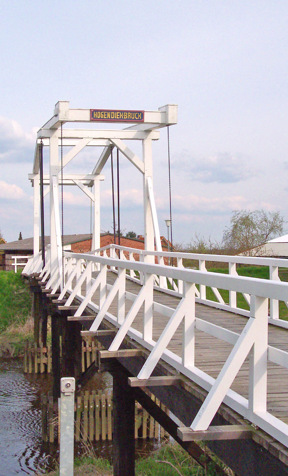
Guderhandviertel is a small village located in the North Rhine-Westphalia state of Germany, surrounded by scenic landscapes that are perfect for hiking enthusiasts. While it may not be as widely known as some larger hiking destinations, it offers a range of trails suitable for various experience levels.
Hiking Trails
-
Local Trails: There are several well-marked local trails that take you through beautiful rural landscapes, forests, and fields. These trails can be explored on foot and often provide stunning views of the surrounding countryside.
-
Nearby Nature Reserves: Explore nearby nature reserves, which may have designated hiking paths that allow for longer and more challenging hikes. Look for areas that feature unique flora and fauna.
-
River Trails: If you venture towards nearby rivers or streams, you might find trails that follow the water’s edge, offering a serene hiking experience with opportunities for wildlife spotting.
Hiking Tips
- Difficulty Levels: Make sure to choose trails that match your fitness level. There are often options for both leisurely walks and more strenuous hikes.
- Weather Preparedness: Check the weather before heading out, as conditions can change rapidly. Dress in layers and be prepared for rain, especially in forested areas.
- Footwear: Wear appropriate hiking shoes that provide good support and grip, as some trails may be uneven or muddy.
Local Amenities
- Maps and Guides: Local tourism offices may offer maps and guidance on the best hiking routes. It’s advisable to pick up a map or download a hiking app.
- Refreshments: Look for local eateries or cafés where you can refresh yourself after a hike. Some may offer local delicacies or hearty meals, perfect for hikers.
Additional Activities
In addition to hiking, Guderhandviertel may offer other recreational activities such as cycling, birdwatching, or photography opportunities, making it a well-rounded destination for nature enthusiasts.
If you're planning a visit, check local resources for any organized hiking events or guided tours that might be available during your stay. Happy hiking!
- Страна:

- Почтовый код: 21720
- Телефонный код: 04163; 04142
- Код автомобильного номера: STD
- Координаты: 53° 33' 0" N, 9° 37' 0" E


- GPS треки (wikiloc): [Ссылка]
- Высота над уровнем моря: 2 м m
- Площадь: 8.94 кв.км
- Население: 1119
- Веб сайт: http://www.luehe-online.de
- Википедия русская: wiki(ru)
- Википедия английская: wiki(en)
- Википедия национальная: wiki(de)
- Хранилище Wikidata: Wikidata: Q503789
- Катеория в википедии: [Ссылка]
- код Freebase: [/m/02r_gwl]
- код Freebase: [/m/02r_gwl]
- код Freebase: [/m/02r_gwl]
- код GeoNames: Альт: [6552798]
- код GeoNames: Альт: [6552798]
- код GeoNames: Альт: [6552798]
- ID отношения в OpenStreetMap: [444925]
- ID отношения в OpenStreetMap: [444925]
- ID отношения в OpenStreetMap: [444925]
- идентификатор муниципалитетов в Германии: 03359021
- идентификатор муниципалитетов в Германии: 03359021
- идентификатор муниципалитетов в Германии: 03359021
Граничит с регионами:


Агатенбург
Hiking in Агатенбург
Agathenburg is a small municipality located in Lower Saxony, Germany, and while it may not be as widely recognized as major hiking destinations, it offers opportunities for outdoor enthusiasts who enjoy tranquil and scenic landscapes....
- Страна:
- Почтовый код: 21684
- Телефонный код: 04141
- Код автомобильного номера: STD
- Координаты: 53° 33' 50" N, 9° 31' 47" E
- GPS треки (wikiloc): [Ссылка]
- Высота над уровнем моря: 16 м m
- Площадь: 11.32 кв.км
- Население: 1177
- Веб сайт: [Ссылка]

Штайнкирхен
Hiking in Штайнкирхен
Steinkirchen, located in Lower Saxony, Germany, is a charming small town that offers access to beautiful natural landscapes ideal for hiking. The area is characterized by its picturesque surroundings, making it a fantastic destination for outdoor enthusiasts. Here are some highlights and tips for hiking in Steinkirchen and its nearby areas:...
- Страна:
- Почтовый код: 21720
- Телефонный код: 04142
- Код автомобильного номера: STD
- Координаты: 53° 32' 59" N, 9° 35' 59" E
- GPS треки (wikiloc): [Ссылка]
- Высота над уровнем моря: 7 м m
- Площадь: 9.55 кв.км
- Население: 1644
- Веб сайт: [Ссылка]


Доллерн
Hiking in Доллерн
Dollern is a quaint village located in Lower Saxony, Germany, which is surrounded by beautiful natural landscapes, making it suitable for hiking enthusiasts. While it may not be a well-known hiking destination, here are some aspects you might consider when hiking in and around Dollern:...
- Страна:
- Почтовый код: 21739
- Телефонный код: 04163
- Код автомобильного номера: STD
- Координаты: 53° 32' 0" N, 9° 33' 0" E
- GPS треки (wikiloc): [Ссылка]
- Высота над уровнем моря: 31 м m
- Площадь: 11.96 кв.км
- Население: 2052
- Веб сайт: [Ссылка]