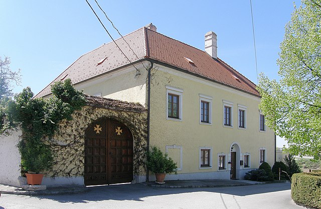
Ла-ан-дер-Тайя (Laa an der Thaya, Laa an der Thaya)
 Hiking in Ла-ан-дер-Тайя
Laa an der Thaya is a charming town located in Lower Austria, situated near the border with the Czech Republic. The area is known for its beautiful natural landscapes, making it an ideal location for hiking enthusiasts. Here are some key points to consider when planning a hiking trip in and around Laa an der Thaya:
Hiking Trails
- Local Trails: The region features several marked hiking trails that traverse through diverse landscapes, including forests, vineyards, and fields. Look for local maps that detail the hiking routes.
- Thayatal National Park: A short distance from Laa an der Thaya, Thayatal National Park offers well-maintained hiking paths. The park showcases unique flora and fauna and stunning views of the Thaya River valley.
Equipment and Preparation
- Footwear: Ensure you have sturdy, comfortable hiking boots suitable for the terrain.
- Weather Gear: Be prepared for changing weather conditions. Pack a waterproof jacket and appropriate clothing layers.
- Navigation Tools: Carry a map or GPS device, as well as a compass. While trails are usually marked, technology can help ensure you stay on track.
Scenic Highlights
- Vineyards: The area around Laa an der Thaya is known for its vineyards. Some trails may lead you through these picturesque landscapes, making them perfect for photography.
- Cultural Landmarks: You might encounter historical sites and buildings along your hike, providing opportunities to engage with the local culture.
Accessibility
- Public Transport: Laa an der Thaya is accessible via public transportation, making it convenient to reach from nearby cities if you’re looking to explore the area.
- Family-Friendly Options: Many trails are suitable for families and beginners, with varying levels of difficulty.
Local Amenities
- Food and Rest: The town has various options for food and rest, including traditional Austrian restaurants. It’s a good idea to plan for meal breaks along your hike or to enjoy a local meal after a day on the trails.
Conservation
- Respect local wildlife and plant life during your hike. Follow Leave No Trace principles to minimize your impact on the natural environment.
By exploring the trails in and around Laa an der Thaya, you can enjoy a unique blend of nature, culture, and relaxation. Make sure to do a bit of research ahead of time to find the trails that best suit your interests and abilities. Happy hiking!
- Страна:

- Почтовый код: 2064, 2136
- Телефонный код: 02522
- Код автомобильного номера: MI
- Координаты: 48° 43' 0" N, 16° 23' 0" E


- GPS треки (wikiloc): [Ссылка]
- Высота над уровнем моря: 183 м m
- Площадь: 72.91 кв.км
- Население: 6280
- Веб сайт: http://www.laa.at/
- Википедия русская: wiki(ru)
- Википедия английская: wiki(en)
- Википедия национальная: wiki(de)
- Хранилище Wikidata: Wikidata: Q661283
- Катеория в википедии: [Ссылка]
- код Freebase: [/m/06w9x_]
- код GeoNames: Альт: [2773229]
- код VIAF: Альт: [161056368]
- код GND: Альт: [4098880-6]
- идентификатор местоположения ArchINFORM: [10090]
- WOEID: [12673824]
- код австрийского муниципалитета: [31629]
Граничит с регионами:
Фальбах
Hiking in Фальбах
Fallbach, located near the village of Fallbach in the Austrian state of Carinthia, is known for its stunning natural landscapes, which include picturesque trails and beautiful waterfalls. Here’s an overview of what you might expect when hiking in and around Fallbach:...
- Страна:
- Почтовый код: 2133
- Телефонный код: 02524
- Код автомобильного номера: MI
- Координаты: 48° 39' 0" N, 16° 25' 0" E
- GPS треки (wikiloc): [Ссылка]
- Высота над уровнем моря: 248 м m
- Площадь: 30.43 кв.км
- Население: 819
- Веб сайт: [Ссылка]

Штронсдорф
Hiking in Штронсдорф
Stronsdorf is a small village located in Lower Austria, making it a charming destination for hiking enthusiasts. The region is characterized by its picturesque landscapes, vineyards, and rolling hills, providing a variety of scenic trails for hikers of all levels....
- Страна:
- Почтовый код: 2153
- Телефонный код: 02526
- Код автомобильного номера: MI
- Координаты: 48° 39' 10" N, 16° 17' 48" E
- GPS треки (wikiloc): [Ссылка]
- Высота над уровнем моря: 211 м m
- Площадь: 48.17 кв.км
- Население: 1584
- Веб сайт: [Ссылка]

Нойдорф-Штац
Hiking in Нойдорф-Штац
Neudorf bei Staatz, located in the wine-growing region of Lower Austria, offers a charming environment for hiking enthusiasts. The area is characterized by rolling hills, picturesque vineyards, and scenic countryside, providing a serene backdrop for outdoor activities....
- Страна:
- Почтовый код: 2135
- Телефонный код: 02523
- Код автомобильного номера: MI
- Координаты: 48° 43' 16" N, 16° 29' 29" E
- GPS треки (wikiloc): [Ссылка]
- Высота над уровнем моря: 202 м m
- Площадь: 40.14 кв.км
- Население: 1430
- Веб сайт: [Ссылка]

Штац
Hiking in Штац
Staatz is a small municipality located in the Weinviertel region of Austria, known for its rolling hills, vineyards, and beautiful rural landscapes. While the area may not be as well-known for extensive hiking trails as larger national parks or mountainous regions, it does offer a charming environment for leisurely hikes and nature walks....
- Страна:
- Почтовый код: 2134
- Телефонный код: 02524
- Код автомобильного номера: MI
- Координаты: 48° 40' 0" N, 16° 29' 0" E
- GPS треки (wikiloc): [Ссылка]
- Высота над уровнем моря: 246 м m
- Площадь: 42.64 кв.км
- Население: 1933
- Веб сайт: [Ссылка]
Гросхаррас
Hiking in Гросхаррас
Großharras, located in Lower Austria, offers a range of hiking opportunities for outdoor enthusiasts. The region is characterized by its picturesque landscapes, rolling hills, and serene rural scenery, making it an ideal place for both casual walkers and experienced hikers....
- Страна:
- Почтовый код: 2034
- Телефонный код: 02526
- Код автомобильного номера: MI
- Координаты: 48° 39' 50" N, 16° 14' 51" E
- GPS треки (wikiloc): [Ссылка]
- Высота над уровнем моря: 206 м m
- Площадь: 42.66 кв.км
- Население: 1116
- Веб сайт: [Ссылка]

Гаубич
Hiking in Гаубич
Gaubitsch is a small village located in Austria, known for its picturesque landscapes and natural beauty, making it a charming place for hiking enthusiasts. The surrounding region offers a variety of hiking trails suitable for different skill levels, from leisurely walks to more challenging hikes. Here are some insights about hiking in and around Gaubitsch:...
- Страна:
- Почтовый код: 2154
- Телефонный код: 02522
- Код автомобильного номера: MI
- Координаты: 48° 39' 0" N, 16° 23' 0" E
- GPS треки (wikiloc): [Ссылка]
- Высота над уровнем моря: 229 м m
- Площадь: 22.48 кв.км
- Население: 894
- Веб сайт: [Ссылка]

Унтерстинкенбрун
Hiking in Унтерстинкенбрун
Unterstinkenbrunn is a charming village located in Lower Austria, surrounded by picturesque landscapes that make it a great destination for hiking enthusiasts. The region offers various trails that range in difficulty, allowing both beginners and experienced hikers to enjoy the natural beauty of the area....
- Страна:
- Почтовый код: 2154
- Телефонный код: 02526
- Код автомобильного номера: MI
- Координаты: 48° 40' 2" N, 16° 20' 47" E
- GPS треки (wikiloc): [Ссылка]
- Высота над уровнем моря: 207 м m
- Площадь: 9.42 кв.км
- Население: 560
- Веб сайт: [Ссылка]