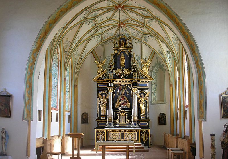
Ландсберид (Landsberied, Landsberied)

 Hiking in Ландсберид
Landsberied is a charming village located in Bavaria, Germany, not far from the city of Munich. It's an excellent location for hiking enthusiasts who want to explore the beautiful Bavarian countryside. Here are some highlights and tips for hiking in and around Landsberied:
Trails and Scenery
-
Local Trails: The area around Landsberied offers a variety of hiking trails ranging from easy walks to more challenging routes. The trails often traverse through lush meadows, wooded areas, and alongside rivers, providing picturesque views of the landscape.
-
Amper River: One of the attractive features for hikers is the Amper River, which offers lovely pathways along its banks. You can enjoy peaceful walks while observing local wildlife.
-
Nearby Nature Reserves: Check out nearby nature conservation areas like the "Ampertal" or the "Moorgebiet," where you can find dedicated paths and viewing areas.
-
Scenic Views: As you hike, you may encounter stunning vistas of the Alps in the distance on clear days, as well as fields and agricultural landscapes that showcase the beauty of rural Bavaria.
Hiking Tips
-
Seasonal Considerations: Spring and summer are ideal times for hiking as the weather is mild, and the flora is in full bloom. Fall offers beautiful foliage, while winter hikes can reveal a different, serene landscape.
-
Equipment: Wear comfortable hiking shoes and dress in layers, as temperatures can change throughout the day. Don't forget to bring water, snacks, and a first-aid kit.
-
Maps and Guides: It's a good idea to carry a local hiking map or use a hiking app to stay on track and discover additional trails.
-
Respect Nature: Follow the Leave No Trace principles; keep the trails clean and respect the local wildlife.
Accessibility
Landsberied is easily accessible from larger cities like Munich, making it a convenient day trip for those looking to escape the hustle of urban life. Public transportation options may also provide access to nearby areas for further exploration.
Conclusion
Hiking around Landsberied offers a delightful blend of natural beauty and tranquility. With well-marked trails and stunning landscapes, it's a perfect destination for both casual walkers and avid hikers alike. Enjoy your hiking adventure!
- Страна:

- Почтовый код: 82290
- Телефонный код: 08141
- Код автомобильного номера: FFB
- Координаты: 48° 10' 0" N, 11° 10' 0" E


- GPS треки (wikiloc): [Ссылка]
- Высота над уровнем моря: 555 м m
- Площадь: 10.54 кв.км
- Население: 849
- Веб сайт: http://www.landsberied.de
- Википедия русская: wiki(ru)
- Википедия английская: wiki(en)
- Википедия национальная: wiki(de)
- Хранилище Wikidata: Wikidata: Q254310
- Катеория в википедии: [Ссылка]
- код Freebase: [/m/02q37ts]
- код GeoNames: Альт: [6556225]
- код VIAF: Альт: [243184800]
- ID отношения в OpenStreetMap: [933536]
- код GND: Альт: [4560047-8]
- код Historical Gazetteer: [object_300696]
- Bavarikon ID: [ODB_A00001107]
- идентификатор муниципалитетов в Германии: 09179132
Граничит с регионами:


Маммендорф
Hiking in Маммендорф
Mammendorf is a small municipality located in Bavaria, Germany, which offers access to scenic landscapes and the natural beauty of the surrounding area. While it may not be as famous as some larger hiking destinations, it can still provide enjoyable experiences for those looking to explore the outdoors. Here are some key points about hiking in and around Mammendorf:...
- Страна:
- Почтовый код: 82291
- Телефонный код: 08145
- Код автомобильного номера: FFB
- Координаты: 48° 12' 0" N, 11° 9' 0" E
- GPS треки (wikiloc): [Ссылка]
- Высота над уровнем моря: 536 м m
- Площадь: 21.21 кв.км
- Население: 2593
- Веб сайт: [Ссылка]

Езенванг
Hiking in Езенванг
Jesenwang is a small municipality located in Bavaria, Germany. While it may not be as well-known for hiking as some of the larger national parks or mountainous regions in Bavaria, it offers some charming options for outdoor enthusiasts looking for a peaceful hike in a picturesque rural setting....
- Страна:
- Почтовый код: 82287
- Телефонный код: 08146
- Код автомобильного номера: FFB
- Координаты: 48° 10' 0" N, 11° 8' 0" E
- GPS треки (wikiloc): [Ссылка]
- Высота над уровнем моря: 558 м m
- Площадь: 15.30 кв.км
- Население: 1044
- Веб сайт: [Ссылка]