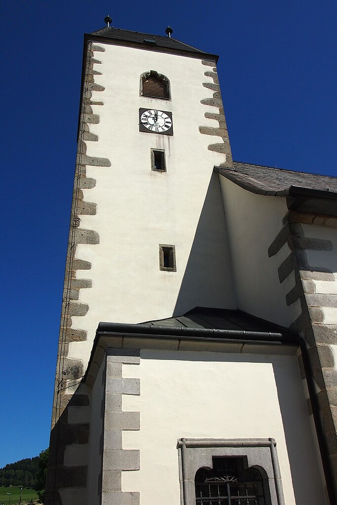
Леопольдшлаг (Leopoldschlag, Leopoldschlag)
 Hiking in Леопольдшлаг
Leopoldschlag, located in Austria near the border with the Czech Republic, is a beautiful destination for hiking enthusiasts. Surrounded by the stunning landscapes of the Northern Alps, it offers a variety of trails suitable for different skill levels.
Trails and Routes
-
Nature Trails: There are well-marked trails that wind through lush forests, meadows, and along streams. These routes provide a great opportunity to observe local flora and fauna.
-
Mountain Hikes: For more experienced hikers, routes leading to the nearby peaks offer breathtaking panoramic views of the surrounding landscapes. The trails vary in difficulty, providing challenges for those looking for a more strenuous hike.
-
Cultural Routes: Some trails offer a combination of nature and culture, passing historical sites and small villages, giving hikers a glimpse into the local history and traditions.
Tips for Hiking in Leopoldschlag
- Seasonal Considerations: The best time for hiking in this region is during spring and early autumn when the weather is mild and the scenery is particularly beautiful. Winter hikes may require special gear as snow can cover trails.
- Preparation: Always check the weather forecast before heading out. Carry appropriate gear, including sturdy hiking boots, plenty of water, snacks, and a first-aid kit.
- Maps and Navigation: Make sure to carry a physical map, as GPS may not work well in all areas. Local tourist offices can provide maps and additional information on trails.
- Respect Nature: Stay on marked paths to protect the local environment and wildlife. Follow the Leave No Trace principles to help preserve the natural beauty of the area.
Suggested Hikes
- The Leopoldschlag Nature Walk: A moderate route perfect for families, featuring interpretive signs about the local ecosystem.
- The Hochficht Circuit: A more challenging hike that takes you to higher altitudes with rewarding views.
Exploring Leopoldschlag offers a unique blend of nature, exercise, and tranquility. It’s a fantastic place to experience the great outdoors in Austria!
- Страна:

- Почтовый код: 4262
- Телефонный код: 07949
- Код автомобильного номера: FR
- Координаты: 48° 37' 0" N, 14° 30' 0" E


- GPS треки (wikiloc): [Ссылка]
- Высота над уровнем моря: 630 м m
- Площадь: 25.67 кв.км
- Население: 1023
- Веб сайт: http://www.leopoldschlag.at/
- Википедия русская: wiki(ru)
- Википедия английская: wiki(en)
- Википедия национальная: wiki(de)
- Хранилище Wikidata: Wikidata: Q225689
- Катеория в википедии: [Ссылка]
- код Freebase: [/m/03gv3bj]
- код GeoNames: Альт: [2772623]
- код VIAF: Альт: [234730150]
- код австрийского муниципалитета: [40610]
Граничит с регионами:
Грюнбах
Hiking in Грюнбах
Grünbach is a charming area located in Upper Austria, known for its beautiful landscapes and hiking opportunities. Here are some key points about hiking in Grünbach:...
- Страна:
- Почтовый код: 4264
- Телефонный код: 07942
- Код автомобильного номера: FR
- Координаты: 48° 32' 20" N, 14° 32' 10" E
- GPS треки (wikiloc): [Ссылка]
- Высота над уровнем моря: 721 м m
- Площадь: 36.1 кв.км
- Население: 1887
- Веб сайт: [Ссылка]

Виндхаг-Фрайштадт
Hiking in Виндхаг-Фрайштадт
Windhaag bei Freistadt is a charming village located in the Mühlviertel region of Austria, surrounded by scenic landscapes perfect for hiking enthusiasts. The area is known for its rolling hills, lush forests, and beautiful meadows, making it a great spot for outdoor activities....
- Страна:
- Почтовый код: 4263
- Телефонный код: 07943
- Код автомобильного номера: FR
- Координаты: 48° 35' 10" N, 14° 33' 50" E
- GPS треки (wikiloc): [Ссылка]
- Высота над уровнем моря: 723 м m
- Площадь: 42.9 кв.км
- Население: 1579
- Веб сайт: [Ссылка]

Райнбах
Hiking in Райнбах
Rainbach im Mühlkreis, located in the scenic region of Upper Austria, offers a lovely hiking experience for outdoor enthusiasts. The area is characterized by its lush forests, rolling hills, and picturesque views of the surrounding countryside, making it an ideal destination for hikers of all levels....
- Страна:
- Почтовый код: 4261
- Телефонный код: 07949
- Код автомобильного номера: FR
- Координаты: 48° 33' 40" N, 14° 28' 40" E
- GPS треки (wikiloc): [Ссылка]
- Высота над уровнем моря: 719 м m
- Площадь: 49.1 кв.км
- Население: 2959
- Веб сайт: [Ссылка]