Longechaux (Longechaux)

- коммуна во Франции
 Hiking in Longechaux
Longechaux is a beautiful area located in the Jura Mountains of France, known for its stunning landscapes and excellent hiking opportunities. Hiking in Longechaux offers a chance to explore lush forests, scenic views, and unique geological formations.
Hiking Tips and Recommendations:
-
Trail Selection:
- There are several trails in and around Longechaux, ranging from easy walks suitable for families to more challenging hikes for experienced trekkers. Popular routes often lead to viewpoints overlooking the valleys and lakes.
-
Duration and Difficulty:
- Choose a trail that matches your fitness level. Shorter trails (2-4 hours) generally lead to beautiful natural sites, while longer hikes (5-7 hours) can take you deeper into the wilderness.
-
Map and Navigation:
- Always carry a map or a GPS device, as some trails might not be well-marked. Familiarize yourself with the area beforehand to avoid getting lost.
-
Season:
- The best time to hike in Longechaux is during the late spring through early fall when the weather is mild. Check local conditions, as winter hiking can be beautiful but requires additional gear and safety precautions.
-
Wildlife and Flora:
- Keep an eye out for local wildlife, including deer, various bird species, and perhaps even a chamois. The area is rich in wildflowers in spring and summer, making hikes particularly scenic.
-
Preparation:
- Wear appropriate footwear and clothing for changing weather conditions. Bring plenty of water and snacks, and a first-aid kit is always a good idea.
-
Local Regulations:
- Respect local wildlife and nature, sticking to marked paths and following any regional guidelines for hikers.
-
Cultural Sites:
- Incorporate short visits to nearby cultural sites or villages, like the charming architecture of Longechaux or local markets.
Hiking in Longechaux can be a rewarding experience, combining the beauty of nature with physical activity. Always prioritize safety and enjoy the stunning scenery and tranquility that this region has to offer!
- Страна:

- Почтовый код: 25690
- Координаты: 47° 9' 51" N, 6° 25' 46" E


- GPS треки (wikiloc): [Ссылка]
- Площадь: 5.13 кв.км
- Население: 76
- Википедия английская: wiki(en)
- Википедия национальная: wiki(fr)
- Хранилище Wikidata: Wikidata: Q907371
- Катеория в википедии: [Ссылка]
- код Freebase: [/m/03mgxpr]
- код Freebase: [/m/03mgxpr]
- код GeoNames: Альт: [6429854]
- код GeoNames: Альт: [6429854]
- номер SIREN: [212503429]
- номер SIREN: [212503429]
- код BNF: [15252568q]
- код BNF: [15252568q]
- код муниципалитета INSEE: 25342
- код муниципалитета INSEE: 25342
Граничит с регионами:


Grandfontaine-sur-Creuse
- коммуна во Франции
Hiking in Grandfontaine-sur-Creuse
Grandfontaine-sur-Creuse is a picturesque village located in the Vienne department of France. Its natural beauty and varied terrain make it an excellent destination for hiking enthusiasts. Here are some highlights about hiking in and around Grandfontaine-sur-Creuse:...
- Страна:
- Почтовый код: 25510
- Координаты: 47° 11' 34" N, 6° 27' 15" E
- GPS треки (wikiloc): [Ссылка]
- Площадь: 5.9 кв.км
- Население: 72
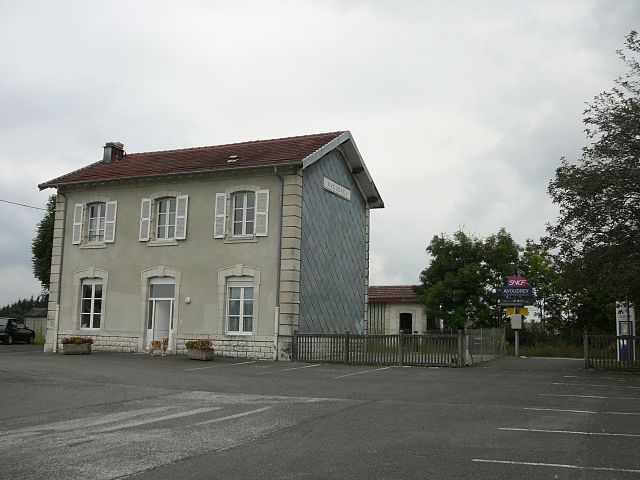

Avoudrey
- коммуна во Франции
Hiking in Avoudrey
Avoudrey is a picturesque commune located in the Doubs department in the Bourgogne-Franche-Comté region of eastern France. Its location near the Jura Mountains provides a range of hiking opportunities that cater to different skill levels. Here are some highlights about hiking in the Avoudrey region:...
- Страна:
- Почтовый код: 25690
- Координаты: 47° 8' 11" N, 6° 26' 8" E
- GPS треки (wikiloc): [Ссылка]
- Площадь: 12.86 кв.км
- Население: 896


Vercel-Villedieu-le-Camp
- коммуна во Франции
Hiking in Vercel-Villedieu-le-Camp
Vercel-Villedieu-le-Camp is a charming commune located in the Drôme department of southeastern France, nestled in the stunning landscapes of the Auvergne-Rhône-Alpes region. The area is known for its scenic beauty, diverse terrain, and a variety of outdoor activities, making it a great destination for hiking enthusiasts....
- Страна:
- Почтовый код: 25530
- Координаты: 47° 11' 2" N, 6° 23' 57" E
- GPS треки (wikiloc): [Ссылка]
- Площадь: 29.96 кв.км
- Население: 1540
- Веб сайт: [Ссылка]