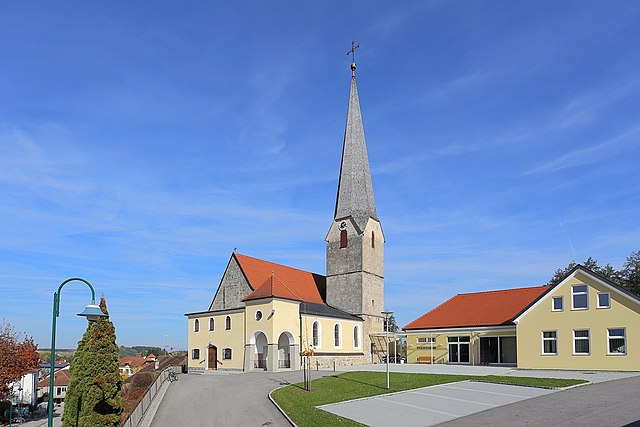
Мёршванг (Mörschwang, Mörschwang)
 Hiking in Мёршванг
Mörschwang, a small village located in Bavaria, Germany, offers several opportunities for hiking enthusiasts to enjoy the beautiful natural surroundings. Though it may not be as widely known as larger hiking destinations, it has its own charm and can provide a peaceful hiking experience.
Trails
-
Local Trails: Mörschwang is surrounded by lovely countryside, including rolling hills, forests, and fields. There are local trails suitable for both beginners and more experienced hikers. Look for paths that wind through the fields and woodlands for a more secluded experience.
-
Nearby Hiking Areas: The region around Mörschwang offers access to several larger hiking networks, including trails in the neighboring Bavarian Forest. These more expansive hiking areas provide various trail options ranging from easy walks to more challenging hikes.
Recommendations
- Explore Nature: Take time to enjoy the local flora and fauna. The area’s natural beauty is complemented by well-maintained trails.
- Seasonal Hiking: Spring and early autumn tend to offer the best weather for hiking, but winter hikes can be beautiful if you’re prepared for colder conditions.
- Check Local Maps: It’s advisable to have a local hiking map or app to help navigate the less marked trails.
Tips
- Check Weather Conditions: Before heading out, check the weather as conditions can change rapidly.
- Pack Essentials: Always bring water, snacks, a basic first aid kit, and a fully charged phone for navigation and emergencies.
Enjoy your hiking adventure in and around Mörschwang! The tranquility of the Bavarian landscape is sure to provide a rewarding experience.
- Страна:

- Почтовый код: 4982
- Телефонный код: 07758
- Код автомобильного номера: RI
- Координаты: 48° 18' 14" N, 13° 21' 57" E


- GPS треки (wikiloc): [Ссылка]
- Высота над уровнем моря: 383 м m
- Площадь: 11 кв.км
- Население: 328
- Веб сайт: http://www.moerschwang.at/
- Википедия русская: wiki(ru)
- Википедия английская: wiki(en)
- Википедия национальная: wiki(de)
- Хранилище Wikidata: Wikidata: Q682146
- Катеория в википедии: [Ссылка]
- код Freebase: [/m/03gv8d9]
- код GeoNames: Альт: [7872085]
- код австрийского муниципалитета: [41216]
Граничит с регионами:


Бад-Фюссинг
Hiking in Бад-Фюссинг
Bad Füssing, located in Bavaria, Germany, is predominantly known for its thermal spas, but it also provides excellent opportunities for hiking amidst beautiful natural landscapes. The region is characterized by its gentle hills, lush forests, and the scenic landscape of the Isar valley. Here are some highlights of hiking in Bad Füssing:...
- Страна:

- Почтовый код: 94072
- Телефонный код: 08531
- Код автомобильного номера: PA
- Координаты: 48° 21' 0" N, 13° 18' 0" E
- GPS треки (wikiloc): [Ссылка]
- Высота над уровнем моря: 320 м m
- Площадь: 55.06 кв.км
- Население: 6994
- Веб сайт: [Ссылка]

Райхерсберг
Hiking in Райхерсберг
Reichersberg is a charming village located in the Innviertel region of Austria, known for its beautiful natural landscapes and picturesque scenery. While it may not be as well-known as some other hiking destinations in Austria, it offers a variety of hiking opportunities suitable for various skill levels. Here are some highlights about hiking in and around Reichersberg:...
- Страна:
- Почтовый код: 4981
- Телефонный код: 07758
- Код автомобильного номера: RI
- Координаты: 48° 20' 19" N, 13° 21' 41" E
- GPS треки (wikiloc): [Ссылка]
- Высота над уровнем моря: 347 м m
- Площадь: 21 кв.км
- Население: 1511
- Веб сайт: [Ссылка]


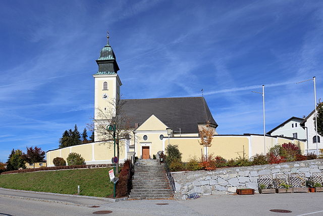
Санкт-Мартин
- община в Австрии, Верхняя Австрия, Рид-Инн
Hiking in Санкт-Мартин
Sankt Martin im Innkreis is a picturesque village located in Upper Austria, surrounded by beautiful nature and scenic landscapes, making it a great destination for hiking enthusiasts. Here are some highlights and tips for hiking in this region:...
- Страна:
- Почтовый код: 4973
- Телефонный код: 07751
- Код автомобильного номера: RI
- Координаты: 48° 17' 39" N, 13° 26' 25" E
- GPS треки (wikiloc): [Ссылка]
- Высота над уровнем моря: 372 м m
- Площадь: 9 кв.км
- Население: 2055
- Веб сайт: [Ссылка]

Обернберг-на-Инне
Hiking in Обернберг-на-Инне
Obernberg am Inn, located in the Innviertel region of Austria, is a beautiful destination for hiking enthusiasts. The area is known for its stunning natural landscapes, including hills, forests, and river valleys, which provide a variety of hiking trails suited for different skill levels, from leisurely walks to more challenging hikes....
- Страна:
- Почтовый код: 4982
- Телефонный код: 07758
- Код автомобильного номера: RI
- Координаты: 48° 19' 16" N, 13° 20' 10" E
- GPS треки (wikiloc): [Ссылка]
- Высота над уровнем моря: 354 м m
- Площадь: 2 кв.км
- Население: 1633
- Веб сайт: [Ссылка]
Зенфтенбах
Hiking in Зенфтенбах
Senftenbach, located in the Austrian state of Upper Austria, offers beautiful landscapes and a variety of hiking opportunities for outdoor enthusiasts. Here are some key points to consider for hiking in this region:...
- Страна:
- Почтовый код: 4973
- Телефонный код: 07751
- Код автомобильного номера: RI
- Координаты: 48° 15' 34" N, 13° 25' 8" E
- GPS треки (wikiloc): [Ссылка]
- Высота над уровнем моря: 414 м m
- Площадь: 10 кв.км
- Население: 772
- Веб сайт: [Ссылка]

Вайльбах
Hiking in Вайльбах
Weilbach, a small village in Austria, offers a charming setting for hikers and outdoor enthusiasts. Nestled in the scenic landscape of the Tyrolean Alps, it provides access to a variety of hiking trails suitable for different skill levels. Here’s an overview of what you can expect:...
- Страна:
- Почтовый код: 4984
- Телефонный код: 07757
- Код автомобильного номера: RI
- Координаты: 48° 16' 39" N, 13° 22' 24" E
- GPS треки (wikiloc): [Ссылка]
- Высота над уровнем моря: 386 м m
- Площадь: 13 кв.км
- Население: 604
- Веб сайт: [Ссылка]

Санкт-Георген-Обернберг-на-Инне
Hiking in Санкт-Георген-Обернберг-на-Инне
Sankt Georgen bei Obernberg am Inn is a charming town located in Upper Austria, near the border with Germany. It's surrounded by a picturesque landscape that offers a range of hiking opportunities for outdoor enthusiasts. Here are some key points you might find helpful about hiking in this region:...
- Страна:
- Почтовый код: 4983
- Телефонный код: 07758
- Код автомобильного номера: RI
- Координаты: 48° 17' 37" N, 13° 20' 2" E
- GPS треки (wikiloc): [Ссылка]
- Высота над уровнем моря: 354 м m
- Площадь: 18 кв.км
- Население: 569
- Веб сайт: [Ссылка]