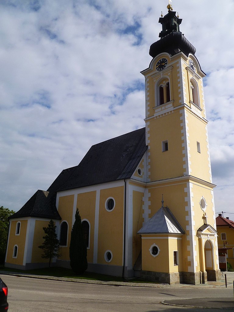
Нидертальхайм (Niederthalheim, Niederthalheim)
 Hiking in Нидертальхайм
Niederthalheim, a charming village in Austria, offers various hiking opportunities for outdoor enthusiasts. The region is characterized by its stunning landscapes, which include rolling hills, lush forests, and scenic views of the surrounding mountains.
Hiking Trails
-
Local Trails:
- There are several marked trails around Niederthalheim, ranging from easy walks suitable for families to more challenging hikes for experienced trekkers.
- These trails often include well-maintained paths, and you may encounter signposts that provide information about the area’s flora and fauna.
-
Scenic Routes:
- Many routes take you through picturesque landscapes, offering a chance to see local wildlife and visit beautiful viewpoints.
- Look for loops that start and end in Niederthalheim, allowing you to explore different sections of the countryside.
-
Access to Larger Destinations:
- From Niederthalheim, you can connect to larger hiking networks that lead into the nearby Salzkammergut region, known for its stunning lakes and mountainous terrain.
Best Time to Hike
- The best times to hike in Niederthalheim are in late spring (May to June) and early autumn (September to October) when the weather is mild and the scenery is at its most vibrant.
Preparation Tips
- Gear: Ensure you have appropriate hiking gear, including sturdy shoes, weather-appropriate clothing, and a good backpack for snacks and water.
- Maps: It is helpful to carry a map or download a hiking app with offline capabilities, as some trails may not always be well-marked.
- Weather: Always check the weather forecast before heading out, as conditions can change rapidly in mountainous areas.
Local Recommendations
- Consider joining a guided hike if you are unfamiliar with the area. Local guides can provide insights into the landscape, history, and culture, enhancing your hiking experience.
Overall, hiking in Niederthalheim offers a tranquil experience surrounded by nature, making it a delightful destination for hikers of all levels.
- Страна:

- Почтовый код: 4692
- Телефонный код: 07673
- Код автомобильного номера: VB
- Координаты: 48° 6' 0" N, 13° 46' 6" E


- GPS треки (wikiloc): [Ссылка]
- Высота над уровнем моря: 431 м m
- Площадь: 16 кв.км
- Население: 1125
- Веб сайт: http://www.niederthalheim.at/
- Википедия русская: wiki(ru)
- Википедия английская: wiki(en)
- Википедия национальная: wiki(de)
- Хранилище Wikidata: Wikidata: Q678939
- Катеория в википедии: [Ссылка]
- код Freebase: [/m/0cdq0y]
- код GeoNames: Альт: [7872161]
- код VIAF: Альт: [244298845]
- код австрийского муниципалитета: [41717]
Граничит с регионами:

Вольфзег-на-Хаусруке
Hiking in Вольфзег-на-Хаусруке
Wolfsegg am Hausruck is a picturesque village located in the Hausruck region of Austria, known for its stunning landscapes and diverse hiking opportunities. Here are some highlights and key considerations for hiking in this area:...
- Страна:
- Почтовый код: 4902
- Телефонный код: 07676
- Код автомобильного номера: VB
- Координаты: 48° 6' 27" N, 13° 40' 28" E
- GPS треки (wikiloc): [Ссылка]
- Высота над уровнем моря: 638 м m
- Площадь: 12 кв.км
- Население: 1982
- Веб сайт: [Ссылка]
Айхкирхен
Hiking in Айхкирхен
Aichkirchen, located in the Salzkammergut region of Austria, offers a charming destination for hikers looking to explore beautiful landscapes, lush forests, and rolling hills. This region is known for its scenic beauty, characterized by mountains, lakes, and quaint villages....
- Страна:
- Почтовый код: 4671
- Телефонный код: 07735
- Код автомобильного номера: WL
- Координаты: 48° 6' 36" N, 13° 47' 45" E
- GPS треки (wikiloc): [Ссылка]
- Высота над уровнем моря: 448 м m
- Площадь: 6.5 кв.км
- Население: 582
- Веб сайт: [Ссылка]
Оберндорф-Шваненштадт
Hiking in Оберндорф-Шваненштадт
Oberndorf bei Schwanenstadt is a charming village situated in the scenic Salzkammergut region of Austria. This area is renowned for its beautiful landscapes, rich cultural heritage, and a variety of outdoor activities, making it an excellent destination for hiking enthusiasts....
- Страна:
- Почтовый код: 4690
- Телефонный код: 07673
- Код автомобильного номера: VB
- Координаты: 48° 3' 24" N, 13° 45' 44" E
- GPS треки (wikiloc): [Ссылка]
- Высота над уровнем моря: 390 м m
- Площадь: 6 кв.км
- Население: 1416
- Веб сайт: [Ссылка]

Гаспольтсхофен
Hiking in Гаспольтсхофен
Gaspoltshofen is a small town located in Austria, specifically in the state of Upper Austria. It's well-known for its picturesque landscapes and serene natural beauty, making it a charming destination for hiking enthusiasts. Here are a few key points to consider when hiking in and around Gaspoltshofen:...
- Страна:
- Телефонный код: 07735
- Код автомобильного номера: GR
- Координаты: 48° 8' 40" N, 13° 44' 11" E
- GPS треки (wikiloc): [Ссылка]
- Высота над уровнем моря: 455 м m
- Площадь: 40.6 кв.км
- Население: 3566
- Веб сайт: [Ссылка]


Шлат
- община в Австрии, Верхняя Австрия, Фёклабрук
Hiking in Шлат
Schlatt, located in Austria, is a charming area that offers a variety of hiking opportunities. While it may not be as widely known as some of the more prominent hiking destinations in Austria, it is surrounded by beautiful landscapes and provides access to the scenic beauty of the foothills of the Alps....
- Страна:
- Телефонный код: 07673
- Код автомобильного номера: VB
- Координаты: 48° 4' 21" N, 13° 47' 2" E
- GPS треки (wikiloc): [Ссылка]
- Высота над уровнем моря: 409 м m
- Площадь: 11 кв.км
- Население: 1399
- Веб сайт: [Ссылка]

Ацбах
Hiking in Ацбах
Atzbach is a picturesque area in Austria that offers a variety of hiking opportunities suitable for different skill levels. Nestled in the beautiful landscapes of the region, hikers can expect to encounter stunning natural scenery, including forests, rivers, and panoramic views of the mountains....
- Страна:
- Почтовый код: 4904
- Телефонный код: 07676
- Код автомобильного номера: VB
- Координаты: 48° 5' 6" N, 13° 42' 13" E
- GPS треки (wikiloc): [Ссылка]
- Высота над уровнем моря: 464 м m
- Площадь: 14 кв.км
- Население: 1196
- Веб сайт: [Ссылка]