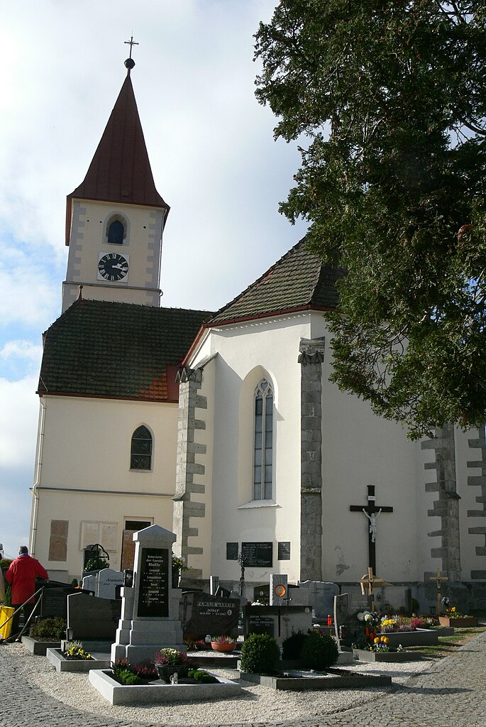
Нидервальдкирхен (Niederwaldkirchen, Niederwaldkirchen)
 Hiking in Нидервальдкирхен
Niederwaldkirchen, located in Austria's Upper Austria region, offers beautiful hiking opportunities that cater to a range of skill levels. The area's scenic landscapes feature rolling hills, lush forests, and panoramic views of the surrounding countryside, making it an ideal destination for nature lovers and outdoor enthusiasts.
Popular Hiking Trails:
-
Local Trails: There are several well-marked hiking paths around Niederwaldkirchen, many of which are suitable for families and beginners. These trails often lead through picturesque meadows and along the edges of forests.
-
Forest Trails: The surrounding forests provide shaded routes that are perfect for summer hikes. You'll have the chance to encounter local wildlife and enjoy the quiet of nature.
-
Panoramic Routes: For those looking for more of a challenge, some trails lead to higher elevations, offering stunning views of the nearby mountains and valleys. These trails typically require more stamina and preparation.
Tips for Hiking in Niederwaldkirchen:
- Weather Check: Always check the local weather before you head out, as conditions can change quickly in mountainous areas.
- Footwear: Wear sturdy hiking boots that provide good ankle support, as some trails can be rocky and uneven.
- Hydration and Snacks: Bring plenty of water and some snacks, especially if you plan on taking longer hikes.
- Maps and Guides: It’s a good idea to have a map of the area or use a hiking app to navigate the trails, as they can sometimes be less well-marked.
Additional Activities:
In addition to hiking, Niederwaldkirchen is near various other outdoor activities such as cycling, which is popular in the area, and during winter months, you may find options for snowshoeing or cross-country skiing.
Conclusion:
Niederwaldkirchen is a beautiful spot for hiking, with a variety of trails that cater to different levels of experience. Whether you're looking for a leisurely walk through beautiful landscapes or a more challenging hike, this area has something to offer. Remember to prepare adequately and enjoy the natural beauty that this region has to provide!
- Страна:

- Почтовый код: 4174
- Телефонный код: 07231
- Код автомобильного номера: RO
- Координаты: 48° 27' 5" N, 14° 5' 8" E


- GPS треки (wikiloc): [Ссылка]
- Высота над уровнем моря: 525 м m
- Площадь: 28 кв.км
- Население: 1816
- Веб сайт: http://www.niederwaldkirchen.at/
- Википедия русская: wiki(ru)
- Википедия английская: wiki(en)
- Википедия национальная: wiki(de)
- Хранилище Wikidata: Wikidata: Q693687
- Катеория в википедии: [Ссылка]
- код Freebase: [/m/03gvb0k]
- код GeoNames: Альт: [7873199]
- код VIAF: Альт: [236604438]
- код австрийского муниципалитета: [41323]
Граничит с регионами:
Клайнцелль
- коммуна в федеральной земле Верхняя Австрия, Австрия
Hiking in Клайнцелль
Kleinzell im Mühlkreis is a charming village in Austria, surrounded by beautiful landscapes ideal for hiking enthusiasts. The region offers a variety of trails that cater to different skill levels, making it a fantastic destination for both beginners and experienced hikers....
- Страна:
- Почтовый код: 4115
- Телефонный код: 07282
- Код автомобильного номера: RO
- Координаты: 48° 27' 24" N, 13° 59' 45" E
- GPS треки (wikiloc): [Ссылка]
- Высота над уровнем моря: 548 м m
- Площадь: 16 кв.км
- Население: 1546
- Веб сайт: [Ссылка]
Санкт-Файт
- община в Австрии, Верхняя Австрия, Рорбах
Hiking in Санкт-Файт
Sankt Veit im Mühlkreis, located in the Upper Austria region, is a picturesque area well-suited for hiking enthusiasts. Nestled in the foothills of the Alps, it offers a variety of trails that cater to different skill levels and provide stunning views of the surrounding countryside and the Mühlviertel region....
- Страна:
- Почтовый код: 4173
- Телефонный код: 07217
- Код автомобильного номера: RO
- Координаты: 48° 28' 16" N, 14° 9' 53" E
- GPS треки (wikiloc): [Ссылка]
- Высота над уровнем моря: 686 м m
- Площадь: 16 кв.км
- Население: 1206
- Веб сайт: [Ссылка]
Херцогсдорф
Hiking in Херцогсдорф
Herzogsdorf, located in Austria, is known for its picturesque landscapes and charming rural atmosphere. While it may not be as heavily trafficked as some larger hiking destinations, it offers a variety of trails that cater to different skill levels, making it a great spot for hiking enthusiasts....
- Страна:
- Почтовый код: 4175
- Телефонный код: 07231
- Код автомобильного номера: UU
- Координаты: 48° 25' 52" N, 14° 6' 49" E
- GPS треки (wikiloc): [Ссылка]
- Высота над уровнем моря: 591 м m
- Площадь: 35.39 кв.км
- Население: 2506
- Веб сайт: [Ссылка]

Санкт-Ульрих
Hiking in Санкт-Ульрих
Sankt Ulrich im Mühlkreis, located in the Mühlviertel region of Austria, is a fantastic destination for hiking enthusiasts. Nestled amidst rolling hills and beautiful landscapes, it offers a variety of trails suitable for different skill levels, from leisurely walks to more challenging hikes....
- Страна:
- Почтовый код: 4116
- Телефонный код: 07282
- Код автомобильного номера: RO
- Координаты: 48° 28' 23" N, 14° 2' 54" E
- GPS треки (wikiloc): [Ссылка]
- Высота над уровнем моря: 622 м m
- Площадь: 16 кв.км
- Население: 633
- Веб сайт: [Ссылка]

Санкт-Мартин
- община в Австрии, Верхняя Австрия, Рорбах
Hiking in Санкт-Мартин
Sankt Martin im Mühlkreis, located in Austria's Upper Austria region, offers a charming and picturesque hiking experience, surrounded by rolling hills, lush forests, and serene landscapes. The area is ideal for both beginner and experienced hikers, with a variety of trails catering to different skill levels....
- Страна:
- Телефонный код: 07232
- Код автомобильного номера: RO
- Координаты: 48° 25' 0" N, 14° 2' 21" E
- GPS треки (wikiloc): [Ссылка]
- Высота над уровнем моря: 549 м m
- Площадь: 35 кв.км
- Население: 3757
- Веб сайт: [Ссылка]

Санкт-Йохан-на-Вимберге
Hiking in Санкт-Йохан-на-Вимберге
Sankt Johann am Wimberg is a picturesque village located in Austria's Upper Austria region. It's an excellent destination for hiking enthusiasts, offering a variety of trails that cater to different skill levels and preferences....
- Страна:
- Почтовый код: 4172
- Телефонный код: 07217
- Код автомобильного номера: RO
- Координаты: 48° 29' 19" N, 14° 7' 51" E
- GPS треки (wikiloc): [Ссылка]
- Высота над уровнем моря: 720 м m
- Площадь: 19.77 кв.км
- Население: 1029
- Веб сайт: [Ссылка]