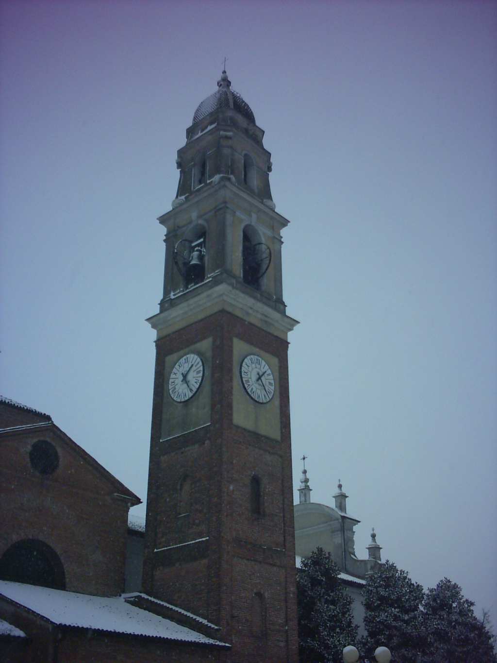
Падерно-Понкьелли (Paderno Ponchielli, Paderno Ponchielli)
.svg)
- коммуна Италии
 Hiking in Падерно-Понкьелли
Paderno Ponchielli, a small town in the Lombardy region of Italy, offers a charming backdrop for hiking enthusiasts. Nestled near the banks of the Adda River, it provides a blend of natural beauty and cultural heritage.
Hiking Opportunities:
-
Scenic Trails: The area features various walking trails along the river, allowing you to enjoy views of the water and surrounding landscapes. These routes can be relaxing and suitable for hikers of all levels.
-
Nature Reserves: Explore nearby nature reserves and parks that offer a plethora of trails. The nearby Adda Park is a great choice for experiencing local flora and fauna.
-
Panoramic Views: Some higher altitude trails may lead you to vantage points offering spectacular views of the surrounding countryside and the river valley.
Things to Keep in Mind:
- Trail Conditions: Always check the trail conditions before heading out, especially after rainfall, as some paths might be muddy.
- Local Guidance: Consider joining local guided hiking tours if you're unfamiliar with the area. Local guides can provide insights into the geography and history of the region.
- Safety First: Ensure you're equipped with a good map, suitable footwear, and enough water and snacks for your hike. Also, inform someone of your plans if you are going on a less traveled route.
Best Times to Hike:
The ideal times for hiking around Paderno Ponchielli are during spring and autumn when the weather is moderate, and the landscapes are particularly beautiful. Summer can be warm, while winter can affect trail access depending on snow conditions.
Conclusion:
Hiking in Paderno Ponchielli can be a delightful experience, blending nature, exercise, and the chance to discover the scenic beauty of Northern Italy. Be sure to respect the environment and enjoy the tranquility this charming area has to offer!
- Страна:

- Почтовый код: 26024
- Телефонный код: 0374
- Код автомобильного номера: CR
- Координаты: 45° 14' 0" N, 9° 56' 0" E


- GPS треки (wikiloc): [Ссылка]
- Высота над уровнем моря: 58 м m
- Площадь: 23.96 кв.км
- Население: 1434
- Веб сайт: http://www.comune.paderno.tv.it
- Википедия русская: wiki(ru)
- Википедия английская: wiki(en)
- Википедия национальная: wiki(it)
- Хранилище Wikidata: Wikidata: Q42833
- Катеория в википедии: [Ссылка]
- код Freebase: [/m/0453wb]
- код GeoNames: Альт: [6542208]
- код VIAF: Альт: [242725066]
- ID отношения в OpenStreetMap: [44457]
- место в MusicBrainz: [f403b9f0-964f-4a6e-b37a-f58e077ece08]
- UN/LOCODE: [ITPAP]
- код ISTAT: 019065
- кадастровый код Италии: G222
Граничит с регионами:
Сесто-ед-Юнити
- коммуна Италии
Hiking in Сесто-ед-Юнити
Sesto ed Uniti, located in the province of Cremona in Lombardy, Italy, isn’t primarily known as a hiking destination compared to the more mountainous regions of the country. However, it offers charming rural landscapes and various trails that can be explored by nature enthusiasts looking for a peaceful experience....
- Страна:
- Почтовый код: 26028
- Телефонный код: 0372
- Код автомобильного номера: CR
- Координаты: 45° 11' 0" N, 9° 55' 0" E
- GPS треки (wikiloc): [Ссылка]
- Высота над уровнем моря: 52 м m
- Площадь: 26.49 кв.км
- Население: 3213
- Веб сайт: [Ссылка]


Анникко
- коммуна Италии
Hiking in Анникко
Annicco is a small town located in the Lombardy region of Italy. While it may not be as widely known for hiking as some other areas in Italy, it can serve as a gateway for exploring nearby regions that offer beautiful hiking opportunities....
- Страна:
- Почтовый код: 26021
- Телефонный код: 0374
- Код автомобильного номера: CR
- Координаты: 45° 15' 0" N, 9° 53' 0" E
- GPS треки (wikiloc): [Ссылка]
- Высота над уровнем моря: 60 м m
- Площадь: 19.2 кв.км
- Население: 2053
- Веб сайт: [Ссылка]

Кастельверде
- коммуна Италии
Hiking in Кастельверде
Castelverde, located in the Lazio region of Italy, is an area that offers a unique blend of natural beauty and cultural heritage suitable for hiking enthusiasts. While it may not be as widely known as other hiking destinations in Italy, it still boasts some scenic trails and opportunities for outdoor exploration....
- Страна:
- Почтовый код: 26022
- Телефонный код: 0372
- Код автомобильного номера: CR
- Координаты: 45° 11' 15" N, 9° 59' 49" E
- GPS треки (wikiloc): [Ссылка]
- Высота над уровнем моря: 52 м m
- Площадь: 30.89 кв.км
- Население: 5715
- Веб сайт: [Ссылка]
Казальморано
- коммуна Италии
Hiking in Казальморано
Casalmorano is a charming municipality in the province of Cremona, Lombardy, Italy. While it may not be as widely known as some of the larger hiking destinations, the surrounding areas provide opportunities for enjoyable hikes and outdoor activities....
- Страна:
- Почтовый код: 26020
- Телефонный код: 0374
- Код автомобильного номера: CR
- Координаты: 45° 17' 0" N, 9° 53' 0" E
- GPS треки (wikiloc): [Ссылка]
- Высота над уровнем моря: 67 м m
- Площадь: 12.28 кв.км
- Население: 1635
- Веб сайт: [Ссылка]
Казальбуттано-эд-Юнити
- коммуна Италии
Hiking in Казальбуттано-эд-Юнити
Casalbuttano ed Uniti is a charming municipality located in the province of Cremona in Lombardy, Italy. While it's not widely known as a major hiking destination, the surrounding countryside and nearby natural areas offer opportunities for hiking and outdoor exploration....
- Страна:
- Почтовый код: 26011
- Телефонный код: 0374
- Код автомобильного номера: CR
- Координаты: 45° 15' 0" N, 9° 58' 0" E
- GPS треки (wikiloc): [Ссылка]
- Высота над уровнем моря: 60 м m
- Площадь: 22.88 кв.км
- Население: 3907
- Веб сайт: [Ссылка]