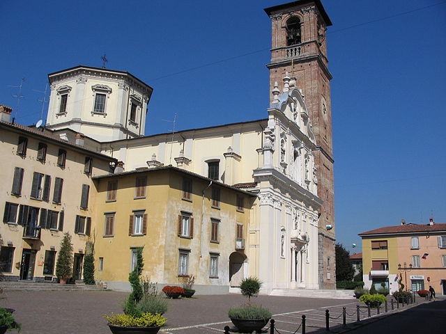
Поньяно (Pognano, Pognano)
.svg)
- коммуна Италии
 Hiking in Поньяно
Pognano, located in the province of Bergamo in northern Italy, is a charming town that provides access to beautiful landscapes and hiking opportunities. While Pognano itself is not a major hiking destination, it is situated near scenic areas in the Lombardy region, which hosts numerous trails suitable for various skill levels.
Hiking Trails and Areas Near Pognano:
-
Monte Canto: Often a popular starting point for hikers, Monte Canto offers beautiful views of the surrounding region. The trails here range from easy to moderate, making it suitable for families and experienced hikers alike.
-
Parco dei Colli di Bergamo: This regional park is located not far from Pognano and boasts a network of hiking trails through rolling hills, woodlands, and scenic viewpoints. Various trails vary in difficulty and length.
-
Seriana Valley: A short drive from Pognano, this valley offers a variety of hikes, from leisurely walks to more challenging treks in the mountains. The views of the valley and the surrounding peaks are stunning, especially in clear weather.
-
Bergamasque Alps: For those willing to travel a bit further, the Bergamasque Alps provide more challenging hiking options. Trails here can lead to higher altitudes with rewarding panoramic views.
Tips for Hiking in the Region:
-
Weather Check: Always check the weather before heading out, as conditions can change rapidly in mountainous areas.
-
Gear Up: Proper hiking gear, including good footwear, weather-appropriate clothing, and sufficient water, is essential.
-
Trail Maps: Obtain trail maps or use hiking apps to ensure you stay on track and are aware of your route, especially if you're exploring less marked paths.
-
Local Wildlife: Keep an eye out for the local fauna and flora, and practice Leave No Trace principles to help preserve the natural beauty.
-
Guided Tours: If you’re unfamiliar with the area, consider joining a guided hike to learn more about the local ecology and history.
Exploring the beautiful landscapes around Pognano can be a rewarding experience. Whether you’re looking for a peaceful walk or a vigorous hike, the surrounding areas will not disappoint. Happy hiking!
- Страна:

- Почтовый код: 24040
- Телефонный код: 035
- Код автомобильного номера: BG
- Координаты: 45° 35' 13" N, 9° 38' 27" E


- GPS треки (wikiloc): [Ссылка]
- Высота над уровнем моря: 157 м m
- Площадь: 3.29 кв.км
- Население: 1625
- Веб сайт: http://www.comune.pognano.bg.it/
- Википедия русская: wiki(ru)
- Википедия английская: wiki(en)
- Википедия национальная: wiki(it)
- Хранилище Wikidata: Wikidata: Q101416
- Галерея изображений в википедии: [Ссылка]
- Катеория в википедии: [Ссылка]
- код Freebase: [/m/0gjcv9]
- код GeoNames: Альт: [6542564]
- ID отношения в OpenStreetMap: [45390]
- UN/LOCODE: [ITPXC]
- код ISTAT: 016167
- кадастровый код Италии: G774
- LombardiaBeniCulturali toponym ID: 1000388
Граничит с регионами:


Лурано
- коммуна Италии
Hiking in Лурано
Lurano, a small municipality in Italy, may not be widely known as a hiking destination compared to some of the more popular regions, but it can offer some serene and picturesque trails suitable for those looking to explore nature away from the crowds....
- Страна:
- Почтовый код: 24050
- Телефонный код: 035
- Код автомобильного номера: BG
- Координаты: 45° 34' 0" N, 9° 38' 0" E
- GPS треки (wikiloc): [Ссылка]
- Высота над уровнем моря: 147 м m
- Площадь: 4.05 кв.км
- Население: 2841
- Веб сайт: [Ссылка]


Спирано
- коммуна Италии
Hiking in Спирано
Spirano, a small town located in the province of Bergamo in Lombardy, Italy, offers a serene environment and picturesque landscapes suitable for hiking enthusiasts. While it may not be as renowned for hiking as some larger areas in the Italian Alps, Spirano and its surrounding regions provide a variety of trails that cater to different experience levels....
- Страна:
- Почтовый код: 24050
- Телефонный код: 035
- Код автомобильного номера: BG
- Координаты: 45° 34' 58" N, 9° 40' 9" E
- GPS треки (wikiloc): [Ссылка]
- Высота над уровнем моря: 154 м m
- Площадь: 9.61 кв.км
- Население: 5730
- Веб сайт: [Ссылка]

Верделло
- коммуна Италии
Hiking in Верделло
Verdello is a small town in Italy, located in the Lombardy region, close to the city of Bergamo. While it may not be as famous for hiking as the larger nearby mountain ranges, such as the Orobie Alps, there are still some opportunities for outdoor activities and exploring the natural beauty of the region....
- Страна:
- Почтовый код: 24049
- Телефонный код: 035
- Код автомобильного номера: BG
- Координаты: 45° 36' 18" N, 9° 37' 47" E
- GPS треки (wikiloc): [Ссылка]
- Высота над уровнем моря: 173 м m
- Площадь: 7.34 кв.км
- Население: 8082
- Веб сайт: [Ссылка]


Арчене
- коммуна Италии
Hiking in Арчене
It seems like there might be a small mix-up with the name "Arcene." If you meant "Arcen" in the Netherlands or potentially another location, I can provide general guidance on hiking in that area, or if you are referring to a different destination, please clarify!...
- Страна:
- Почтовый код: 24040
- Телефонный код: 035
- Код автомобильного номера: BG
- Координаты: 45° 34' 34" N, 9° 36' 51" E
- GPS треки (wikiloc): [Ссылка]
- Высота над уровнем моря: 152 м m
- Площадь: 4.35 кв.км
- Население: 4868
- Веб сайт: [Ссылка]