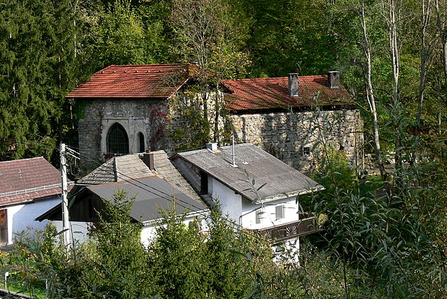
Пуцлайнсдорф (Putzleinsdorf, Putzleinsdorf)

 Hiking in Пуцлайнсдорф
Putzleinsdorf is a small municipality in Austria, located in the region of Upper Austria. While it may not be as widely recognized as some of the larger hiking destinations in the country, there are opportunities for beautiful hikes and outdoor activities in and around this area.
Here are some tips and highlights for hiking in Putzleinsdorf and its surroundings:
-
Local Trails: Look for local trails that might be less crowded, providing a unique and peaceful hiking experience. The area has a mix of flat and hilly terrains, making it suitable for different skill levels.
-
Nature Exploration: The region surrounding Putzleinsdorf offers diverse flora and fauna. Keep your eyes peeled for local wildlife, wildflowers, and scenic vistas.
-
Scenic Views: Many trails in Upper Austria lead to stunning viewpoints overlooking valleys, forests, and rivers. Bring your camera to capture the picturesque landscapes.
-
Seasonal Considerations: Depending on the season you plan to hike, remember to dress appropriately. Spring and summer provide beautiful wildflowers, while autumn offers brilliant foliage.
-
Nearby Hiking Destinations: If you're exploring a bit further, consider visiting nearby national parks or nature reserves, where you can find marked trails and more comprehensive hiking routes.
-
Safety and Preparation: Always prepare adequately for your hike. Check the weather forecast, ensure you have proper hiking gear, and take enough water and snacks. A map of the trails can also be helpful.
-
Local Information: Don’t hesitate to stop by nearby tourist information centers or local businesses to inquire about the best trails and current conditions.
Hiking in and around Putzleinsdorf can be a rewarding experience, especially if you enjoy exploring lesser-known areas. Enjoy your outdoor adventure!
- Страна:

- Почтовый код: 4134
- Телефонный код: 07286
- Код автомобильного номера: RO
- Координаты: 48° 31' 6" N, 13° 52' 28" E


- GPS треки (wikiloc): [Ссылка]
- Высота над уровнем моря: 603 м m
- Площадь: 22 кв.км
- Население: 1553
- Веб сайт: http://www.putzleinsdorf.at/
- Википедия русская: wiki(ru)
- Википедия английская: wiki(en)
- Википедия национальная: wiki(de)
- Хранилище Wikidata: Wikidata: Q670221
- Катеория в википедии: [Ссылка]
- код Freebase: [/m/03gv9z4]
- код GeoNames: Альт: [7873201]
- код VIAF: Альт: [245025335]
- код австрийского муниципалитета: [41328]
Граничит с регионами:

Нидеркаппель
Hiking in Нидеркаппель
Niederkappel is a charming village located in the Mühlviertel region of Upper Austria. The area is known for its stunning natural landscapes, including rolling hills, forests, and picturesque fields, making it a great destination for hiking enthusiasts. Here are some highlights and tips for hiking in Niederkappel:...
- Страна:
- Почтовый код: 4133
- Телефонный код: 07286
- Код автомобильного номера: RO
- Координаты: 48° 27' 57" N, 13° 52' 55" E
- GPS треки (wikiloc): [Ссылка]
- Высота над уровнем моря: 549 м m
- Площадь: 23 кв.км
- Население: 985
- Веб сайт: [Ссылка]

Пфарркирхен
Hiking in Пфарркирхен
Pfarrkirchen im Mühlkreis, located in Austria's Upper Austria region, is a wonderful destination for hiking enthusiasts. Surrounded by picturesque landscapes, rolling hills, and lush forests, the area offers numerous trails catering to all levels of hikers, from beginners to seasoned trekkers....
- Страна:
- Почтовый код: 4141
- Телефонный код: 07285
- Код автомобильного номера: RO
- Координаты: 48° 30' 16" N, 13° 49' 32" E
- GPS треки (wikiloc): [Ссылка]
- Высота над уровнем моря: 819 м m
- Площадь: 31 кв.км
- Население: 1474
- Веб сайт: [Ссылка]

Лембах
Hiking in Лембах
Lembach im Mühlkreis is a picturesque village located in Upper Austria, surrounded by beautiful landscapes and rolling hills, making it an excellent destination for hiking enthusiasts. The region offers a variety of trails that cater to different skill levels, from casual walkers to experienced hikers....
- Страна:
- Почтовый код: 4132
- Телефонный код: 07286
- Код автомобильного номера: RO
- Координаты: 48° 29' 44" N, 13° 53' 44" E
- GPS треки (wikiloc): [Ссылка]
- Высота над уровнем моря: 552 м m
- Площадь: 8 кв.км
- Население: 1530
- Веб сайт: [Ссылка]

Хофкирхен
Hiking in Хофкирхен
Hofkirchen im Mühlkreis, located in Upper Austria, is a beautiful area offering a variety of hiking opportunities. It's surrounded by picturesque landscapes, rolling hills, and lush forests, making it a great destination for both novice and experienced hikers....
- Страна:
- Почтовый код: 4142
- Телефонный код: 07285
- Код автомобильного номера: RO
- Координаты: 48° 29' 2" N, 13° 48' 43" E
- GPS треки (wikiloc): [Ссылка]
- Высота над уровнем моря: 601 м m
- Площадь: 23 кв.км
- Население: 1520
- Веб сайт: [Ссылка]
Атцесберг
- коммуна в федеральной земле Верхняя Австрия, Австрия
Hiking in Атцесберг
Atzesberg is a lovely hiking destination located in the picturesque surroundings of Germany, specifically in the region of Bavaria. It's known for its beautiful landscapes, lush forests, and serene trails that appeal to hikers of all skill levels. Here are some highlights of hiking in Atzesberg:...
- Страна:
- Почтовый код: 4152
- Телефонный код: 0 72 83
- Код автомобильного номера: RO
- Координаты: 48° 32' 26" N, 13° 52' 17" E
- GPS треки (wikiloc): [Ссылка]
- Высота над уровнем моря: 610 м m
- Площадь: 13 кв.км
- Население: 446
- Веб сайт: [Ссылка]

Хёрбих
- коммуна в федеральной земле Верхняя Австрия, Австрия
Hiking in Хёрбих
Hörbich is a lovely destination for hiking enthusiasts, located in the picturesque Bavarian region of Germany. It's known for its scenic landscapes, dense forests, and beautiful trails that cater to various skill levels. Here are some highlights about hiking in Hörbich:...
- Страна:
- Почтовый код: 4132
- Телефонный код: 07286
- Код автомобильного номера: RO
- Координаты: 48° 31' 6" N, 13° 54' 54" E
- GPS треки (wikiloc): [Ссылка]
- Высота над уровнем моря: 570 м m
- Площадь: 11 кв.км
- Население: 420
- Веб сайт: [Ссылка]