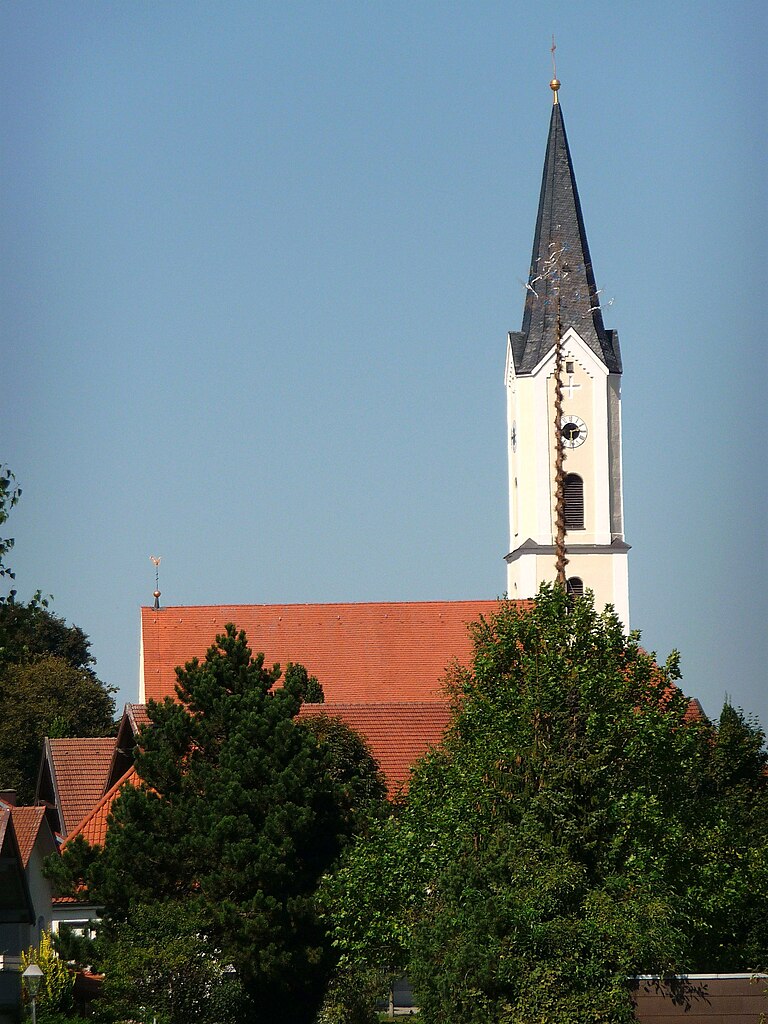
Райшах (Reischach, Reischach)

 Hiking in Райшах
Reischach, a charming village located in the South Tyrol region of northern Italy, is a popular destination for hiking enthusiasts. Nestled in the beautiful Dolomites, it offers stunning scenery, diverse trails, and a variety of difficulty levels suitable for hikers of all ages and skill levels.
Hiking Trails
-
Kronplatz Mountain: One of the main attractions is the Kronplatz mountain, which serves as a hub for hiking. Several well-marked trails lead from the top of the mountain, providing breathtaking views of the surrounding peaks and valleys.
-
The Puster Valley Trails: The trails around Reischach often connect with longer routes in the Puster Valley, offering options for day hikes or multi-day treks.
-
Lake and Forest Trails: There are serene paths that meander through lush forests and around picturesque alpine lakes, ideal for those looking for a more relaxed hike.
-
Cultural and Historical Routes: Some trails take you through medieval sites or past ancient churches, allowing hikers to experience the rich cultural heritage of the region.
Difficulty Levels
- Easy Trails: Suitable for families and beginners, often flat or with gentle inclines, allowing for leisurely walks.
- Moderate Trails: These may include moderate climbs and uneven terrain, suitable for those with some hiking experience.
- Challenging Trails: For seasoned hikers, there are steep ascents and more technical paths, often leading to astonishing viewpoints.
Best Times to Hike
- Summer: The best time for hiking in Reischach is from late spring to early autumn when the weather is generally pleasant, and the trails are clear.
- Autumn: Fall colors in the Dolomites can be spectacular, making late September to early October a beautiful time to explore.
Tips for Hiking in Reischach
- Stay Hydrated: Carry enough water, especially on warm days, as some trails may lack drinking sources.
- Dress Appropriately: Weather can change rapidly in the mountains; wear layers and bring a rain jacket just in case.
- Check Local Maps and Guides: Make use of local resources for trail maps and conditions.
- Respect Nature: Stick to marked trails to help preserve the natural environment.
Additional Activities
Besides hiking, Reischach offers opportunities for mountain biking, skiing in winter months, and enjoying local cuisine, making it a wonderful destination for nature lovers.
Whether you’re a casual walker or a seasoned trekker, Reischach provides an exceptional hiking experience with its stunning landscapes and rich cultural backdrop.
- Страна:

- Почтовый код: 84571
- Телефонный код: 08670
- Координаты: 48° 17' 0" N, 12° 44' 0" E


- GPS треки (wikiloc): [Ссылка]
- Высота над уровнем моря: 419 м m
- Площадь: 28.46 кв.км
- Население: 2309
- Веб сайт: http://www.reischach.de
- Википедия русская: wiki(ru)
- Википедия английская: wiki(en)
- Википедия национальная: wiki(de)
- Хранилище Wikidata: Wikidata: Q256575
- Катеория в википедии: [Ссылка]
- код Freebase: [/m/02q04mf]
- код GeoNames: Альт: [2848606]
- ID отношения в OpenStreetMap: [942011]
- код GND: Альт: [4303119-5]
- код Historical Gazetteer: [REIACHJN68IH]
- Bavarikon ID: [ODB_A00000924]
- идентификатор муниципалитетов в Германии: 09171129
Граничит с регионами:

Плайскирхен
Hiking in Плайскирхен
Pleiskirchen is a charming municipality located in Bavaria, Germany. The surrounding region offers some lovely hiking opportunities, characterized by rolling hills, picturesque landscapes, and beautiful natural scenery. Here are a few key points to consider when hiking in and around Pleiskirchen:...
- Страна:
- Почтовый код: 84568
- Телефонный код: 08635
- Координаты: 48° 18' 0" N, 12° 36' 0" E
- GPS треки (wikiloc): [Ссылка]
- Высота над уровнем моря: 450 м m
- Площадь: 52.59 кв.км
- Население: 2127
- Веб сайт: [Ссылка]
Миттерскирхен
Hiking in Миттерскирхен
Mitterskirchen, a small village located in the scenic region of Bavaria, Germany, offers a wonderful backdrop for hiking enthusiasts. Nestled among rolling hills and lush forests, the area is known for its natural beauty and tranquility, making it an ideal location for outdoor activities....
- Страна:
- Почтовый код: 84335
- Телефонный код: 08725
- Код автомобильного номера: PAN
- Координаты: 48° 21' 0" N, 12° 44' 0" E
- GPS треки (wikiloc): [Ссылка]
- Высота над уровнем моря: 433 м m
- Площадь: 24.63 кв.км
- Население: 1612
- Веб сайт: [Ссылка]