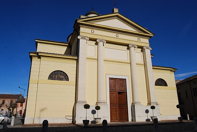
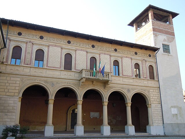
Ривароло-Мантовано (Rivarolo Mantovano, Rivarolo Mantovano)
.svg)
- коммуна Италии
 Hiking in Ривароло-Мантовано
Rivarolo Mantovano, located in the province of Mantua in the Lombardy region of Italy, offers a variety of hiking opportunities characterized by picturesque landscapes, agricultural fields, and waterways. Here are some key points to consider if you’re planning a hiking trip to this area:
1.
- The countryside around Rivarolo Mantovano features serene landscapes with rolling hills, vineyards, and rice paddies, creating a beautiful backdrop for hiking.
- Look for trails that take you through the Parco del Mincio, which is nearby and known for its biodiversity and scenic views.
2.
- While hiking, you can explore local historical sites, such as old farmhouses, churches, and small villages.
- Rivarolo Mantovano itself and the surrounding area are rich with history, so consider taking time to visit these places en route.
3.
- Most trails in the region tend to be relatively easy to moderate, making them accessible for hikers of various skill levels.
- Check local maps or hiking guides to find the best trails that suit your experience level.
4.
- The area is home to diverse flora and fauna, particularly around the Mincio River, which provides opportunities for birdwatching and observing local wildlife.
5.
- Always carry plenty of water and snacks, especially if you're hiking on a hot day, as facilities may be sparse on certain trails.
- Research the best times to visit, as spring and fall offer comfortable temperatures for hiking.
6.
- If you prefer, there might be local guides or organized hiking tours that can provide insights into the area’s ecology and history.
7.
- There are rural guesthouses and agriturismos in the area that cater to hikers, often providing meals made from local ingredients.
Conclusion:
Hiking in Rivarolo Mantovano can be a delightful experience, blending nature and culture. Always ensure that you’re well-prepared with a map, suitable footwear, and an understanding of the local environment for a safe and enjoyable hike!
- Страна:

- Почтовый код: 46017
- Телефонный код: 0376
- Код автомобильного номера: MN
- Координаты: 45° 4' 0" N, 10° 26' 0" E


- GPS треки (wikiloc): [Ссылка]
- Высота над уровнем моря: 26 м m
- Площадь: 25.55 кв.км
- Население: 2553
- Веб сайт: http://www.comune.rivarolo.mn.it/
- Википедия русская: wiki(ru)
- Википедия английская: wiki(en)
- Википедия национальная: wiki(it)
- Хранилище Wikidata: Wikidata: Q42322
- Катеория в википедии: [Ссылка]
- код Freebase: [/m/0gk0ln]
- код GeoNames: Альт: [6536222]
- код VIAF: Альт: [247839286]
- ID отношения в OpenStreetMap: [44113]
- место в MusicBrainz: [542ee13a-3aea-4232-bfc1-5e829e0ca6f0]
- UN/LOCODE: [ITRMV]
- код ISTAT: 020050
- кадастровый код Италии: H342
Граничит с регионами:


Сан-Мартино-далл'Арджине
- коммуна Италии
Hiking in Сан-Мартино-далл'Арджине
San Martino dall'Argine is a charming town in the Lombardy region of Italy, known for its scenic beauty and tranquil landscapes. While it may not be a frequently mentioned hiking destination compared to more famous locations in Italy, it can offer some lovely walking and hiking opportunities, particularly for those interested in exploring the surrounding countryside....
- Страна:
- Почтовый код: 46010
- Телефонный код: 0376
- Код автомобильного номера: MN
- Координаты: 45° 6' 0" N, 10° 30' 0" E
- GPS треки (wikiloc): [Ссылка]
- Высота над уровнем моря: 29 м m
- Площадь: 16.94 кв.км
- Население: 1742
- Веб сайт: [Ссылка]


Ривароло-дель-Ре-эд-Унити
- коммуна Италии
Hiking in Ривароло-дель-Ре-эд-Унити
Rivarolo del Re ed Uniti is a small municipality located in the Lombardy region of Italy, near the Po River. While it might not be as well-known for hiking as some of Italy’s more mountainous areas, there are still opportunities for outdoor activities, including hiking, especially for those who appreciate flat terrain and picturesque landscapes....
- Страна:
- Почтовый код: 26036
- Телефонный код: 0375
- Код автомобильного номера: CR
- Координаты: 45° 1' 52" N, 10° 28' 21" E
- GPS треки (wikiloc): [Ссылка]
- Высота над уровнем моря: 22 м m
- Площадь: 27.33 кв.км
- Население: 1967
- Веб сайт: [Ссылка]


Торната
- коммуна Италии
Hiking in Торната
It seems that there may be some confusion with the name "Tornata," as it does not correspond to a widely recognized hiking location or region. However, I can provide information on popular hiking areas, as well as tips and advice for hiking in general....
- Страна:
- Почтовый код: 26030
- Телефонный код: 0375
- Код автомобильного номера: CR
- Координаты: 45° 6' 0" N, 10° 26' 0" E
- GPS треки (wikiloc): [Ссылка]
- Высота над уровнем моря: 29 м m
- Площадь: 10.17 кв.км
- Население: 461
- Веб сайт: [Ссылка]


Кастельдидоне
- коммуна Италии
Hiking in Кастельдидоне
Casteldidone is a small town located in the Lombardy region of northern Italy. While it may not be widely known for hiking compared to larger national parks or mountainous areas, the region does offer opportunities to enjoy the natural landscapes and local culture....
- Страна:
- Почтовый код: 26030
- Телефонный код: 0375
- Код автомобильного номера: CR
- Координаты: 45° 4' 0" N, 10° 24' 0" E
- GPS треки (wikiloc): [Ссылка]
- Высота над уровнем моря: 27 м m
- Площадь: 10.79 кв.км
- Население: 566
- Веб сайт: [Ссылка]

Спинеда
- коммуна Италии
Hiking in Спинеда
I'm sorry, but I couldn't find any specific information on a place called "Spineda" related to hiking. It's possible that it could be a lesser-known location, perhaps a local trail, or it may be a misspelling....
- Страна:
- Почтовый код: 26030
- Телефонный код: 0376
- Код автомобильного номера: CR
- Координаты: 45° 3' 41" N, 10° 30' 42" E
- GPS треки (wikiloc): [Ссылка]
- Высота над уровнем моря: 23 м m
- Площадь: 10.11 кв.км
- Население: 608
- Веб сайт: [Ссылка]

Боццоло
- коммуна Италии
Hiking in Боццоло
Bozzolo is a small town located in the province of Mantua in the Lombardy region of Italy. While it's not widely known as a hiking destination, there are various outdoor activities and natural areas nearby that can provide a great hiking experience....
- Страна:
- Почтовый код: 46012
- Телефонный код: 0376
- Код автомобильного номера: MN
- Координаты: 45° 6' 12" N, 10° 28' 48" E
- GPS треки (wikiloc): [Ссылка]
- Высота над уровнем моря: 30 м m
- Площадь: 18.82 кв.км
- Население: 4190
- Веб сайт: [Ссылка]