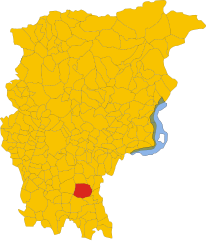
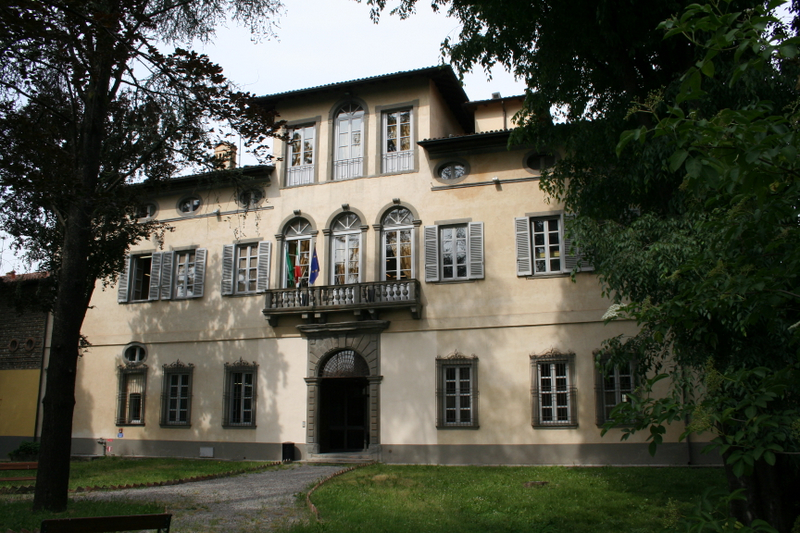
Романо-ди-Ломбардия (Romano di Lombardia, Romano di Lombardia)
.svg)
- коммуна Италии
 Hiking in Романо-ди-Ломбардия
Romano di Lombardia is a charming town located in the Lombardy region of northern Italy. While it may not be as famous for hiking as other areas in the Alps or Dolomites, there are still opportunities for outdoor enthusiasts to enjoy the beautiful scenery and natural landscapes in and around this area.
Hiking Options in Romano di Lombardia:
-
Local Trails: The surrounding countryside offers a number of trails that wind through fields, woodlands, and along rivers. These trails are perfect for casual hiking and nature walks, allowing hikers to experience the scenic beauty of the Lombardy plains.
-
Parco del Serio: Located nearby, this park encompasses the Serio River, offering a variety of hiking paths. The area is known for its rich biodiversity, picturesque landscapes, and peaceful atmosphere. The trails range in difficulty and are suitable for families and casual hikers.
-
Città Alta (Bergamo): A short drive from Romano di Lombardia, the historic city of Bergamo offers beautiful hikes with stunning views. The hills of Bergamo, particularly in the Città Alta area, have several trails leading to panoramic viewpoints that overlook the city and the surrounding valley.
-
Cascate del Serio: If you're willing to travel a bit, the Serio Waterfalls, located farther north, are the highest waterfalls in Italy. There's a trail that leads to various viewpoints of the falls, making for a dramatic hiking experience.
-
Seasonal Events: Keep an eye out for seasonal hiking events and guided tours that may take place in the area, especially in the spring and fall when the weather is perfect for outdoor activities.
Tips for Hiking in the Area:
- Weather Check: Always check the weather conditions prior to your hike, as conditions can change quickly.
- Proper Gear: Make sure to wear appropriate hiking shoes and bring along essentials such as water, snacks, and a first-aid kit.
- Local Maps: Carry a map of the trails or have a reliable navigation system, as not all trails may be well marked.
- Respect Nature: Follow the Leave No Trace principles to minimize your impact on the environment.
Overall, while Romano di Lombardia may not be a premier hiking destination, it serves as a great base for exploring the beautiful landscapes of Lombardy. Whether you're a casual walker or a more experienced hiker, there are enjoyable outdoor experiences to be had in and around this quaint Italian town.
- Страна:

- Почтовый код: 24058
- Телефонный код: 0363
- Код автомобильного номера: BG
- Координаты: 45° 31' 0" N, 9° 45' 0" E


- GPS треки (wikiloc): [Ссылка]
- Высота над уровнем моря: 120 м m
- Площадь: 19.38 кв.км
- Население: 20486
- Веб сайт: http://www.romanoonline.it
- Википедия русская: wiki(ru)
- Википедия английская: wiki(en)
- Википедия национальная: wiki(it)
- Хранилище Wikidata: Wikidata: Q101512
- Галерея изображений в википедии: [Ссылка]
- Катеория в википедии: [Ссылка]
- код Freebase: [/m/0gjdck]
- код GeoNames: Альт: [6537155]
- код VIAF: Альт: [167926035]
- ID отношения в OpenStreetMap: [45160]
- идентификатор местоположения ArchINFORM: [45341]
- код темы Quora: [Romano-Di-Lombardia]
- UN/LOCODE: [ITROL]
- код в Большой каталанской энциклопедии: [0266342]
- код ISTAT: 016183
- кадастровый код Италии: H509
Граничит с регионами:


Кортенуова
- коммуна Италии
Hiking in Кортенуова
Cortenuova, located in the Lombardy region of Italy, is not primarily known for hiking as it is situated in a relatively flat area. However, the surrounding region of Lombardy offers a variety of outdoor activities, including hiking, especially if you venture a bit farther into the nearby foothills and mountains....
- Страна:
- Почтовый код: 24050
- Телефонный код: 0363
- Код автомобильного номера: BG
- Координаты: 45° 32' 20" N, 9° 47' 16" E
- GPS треки (wikiloc): [Ссылка]
- Высота над уровнем моря: 133 м m
- Площадь: 7.35 кв.км
- Население: 1986
- Веб сайт: [Ссылка]


Ково
- коммуна Италии
Hiking in Ково
Covo is a charming destination for hiking, located in Italy’s beautiful region of Abruzzo. While it might not be as widely known as other hiking hotspots, it offers a unique blend of natural beauty and cultural experiences....
- Страна:
- Почтовый код: 24050
- Телефонный код: 0363
- Код автомобильного номера: BG
- Координаты: 45° 30' 0" N, 9° 46' 0" E
- GPS треки (wikiloc): [Ссылка]
- Высота над уровнем моря: 115 м m
- Площадь: 12.94 кв.км
- Население: 4088
- Веб сайт: [Ссылка]


Фара-Оливана-кон-Сола
- коммуна Италии
Hiking in Фара-Оливана-кон-Сола
Fara Olivana con Sola is a picturesque village located in the province of Bergamo, Italy, surrounded by the beautiful landscape of the Lombardy region. While it may not be as renowned as some other hiking destinations, it offers some lovely trails and opportunities to explore the natural beauty of the area....
- Страна:
- Почтовый код: 24058
- Телефонный код: 0363
- Код автомобильного номера: BG
- Координаты: 45° 29' 42" N, 9° 44' 57" E
- GPS треки (wikiloc): [Ссылка]
- Высота над уровнем моря: 107 м m
- Площадь: 5.04 кв.км
- Население: 1292
- Веб сайт: [Ссылка]


Форново-Сан-Джованни
- коммуна Италии
Hiking in Форново-Сан-Джованни
Fornovo San Giovanni, located in the Lombardy region of Italy, is not only known for its picturesque landscapes but also offers a variety of hiking opportunities amidst its natural beauty. Here’s an overview of what hiking in that area entails:...
- Страна:
- Почтовый код: 24040
- Телефонный код: 0363
- Код автомобильного номера: BG
- Координаты: 45° 29' 48" N, 9° 40' 38" E
- GPS треки (wikiloc): [Ссылка]
- Высота над уровнем моря: 109 м m
- Площадь: 7.04 кв.км
- Население: 3435
- Веб сайт: [Ссылка]
Мартиненго
- коммуна Италии
Hiking in Мартиненго
Martinengo is a charming town located in the Lombardy region of Italy, known for its picturesque landscapes and historical architecture. While it is not a well-known hiking destination, there are several opportunities to explore the natural beauty of the surrounding area....
- Страна:
- Почтовый код: 24057
- Телефонный код: 0363
- Код автомобильного номера: BG
- Координаты: 45° 34' 20" N, 9° 46' 3" E
- GPS треки (wikiloc): [Ссылка]
- Высота над уровнем моря: 149 м m
- Площадь: 22.05 кв.км
- Население: 10560
- Веб сайт: [Ссылка]

Моренго
- коммуна Италии
Hiking in Моренго
It seems like you may be referring to a specific hiking area, but "Morengo" isn't widely recognized as a popular hiking destination in the general hiking community. It’s possible you meant "Morrison," which is known for its hiking trails near Red Rocks in Colorado, or perhaps a location in another region altogether....
- Страна:
- Почтовый код: 24050
- Телефонный код: 0363
- Код автомобильного номера: BG
- Координаты: 45° 32' 0" N, 9° 42' 0" E
- GPS треки (wikiloc): [Ссылка]
- Высота над уровнем моря: 126 м m
- Площадь: 9.57 кв.км
- Население: 2535
- Веб сайт: [Ссылка]


Бариано
- коммуна Италии
Hiking in Бариано
Bariano is a small town located in the Lombardy region of Italy, which is characterized by a mix of rolling hills, agricultural landscapes, and nearby natural reserves. While Bariano itself may not be a major hiking destination, it can serve as a good base for exploring the surrounding area....
- Страна:
- Почтовый код: 24050
- Телефонный код: 0363
- Код автомобильного номера: BG
- Координаты: 45° 30' 45" N, 9° 42' 13" E
- GPS треки (wikiloc): [Ссылка]
- Высота над уровнем моря: 114 м m
- Площадь: 7.07 кв.км
- Население: 4270
- Веб сайт: [Ссылка]