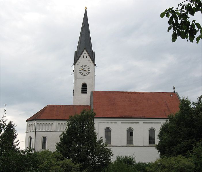
Розенхайм (Rosenheim, Rosenheim)
.svg)

- город в Германии
 Hiking in Розенхайм
Rosenheim, located in Bavaria, Germany, is a picturesque town that serves as a gateway to some stunning hiking opportunities in the surrounding Alps and foothills. Here are some highlights and tips for hiking in and around Rosenheim:
Hiking Trails
-
Wendelstein: This mountain offers several trails with varying difficulty levels. The hike can take you through beautiful forests and meadows, with stunning views of the mountains. There's also a cogwheel train for those who prefer an easier ascent.
-
Mangfallgebirge Nature Park: Just a short drive from Rosenheim, this park features numerous hiking trails that wind through valleys, peaks, and wooded areas, ideal for experiencing the region’s diverse flora and fauna.
-
Chiemsee Region: A bit further from Rosenheim, the Chiemsee lake area has scenic lakeside hikes and trails leading to the nearby mountains, such as the Kampenwand. The views of the lake combined with the Alm scenery are a must-see.
-
Hiking around the Inn River: The scenic route along the Inn River provides gentle hikes that are suitable for families or those looking for a more leisurely experience. This trail offers beautiful views of the river and surrounding landscapes.
Tips for Hiking in Rosenheim
-
Weather: Always check the weather conditions before heading out, as the alpine weather can be unpredictable.
-
Gear: Wear sturdy hiking boots and appropriate clothing for changes in temperature. Bring layers, especially in the mountains.
-
Safety: Be aware of your limits and choose trails that match your fitness level. Some paths can be steep and challenging.
-
Hydration and Snacks: Bring enough water and snacks to keep your energy up while you hike. There are often lovely spots for a picnic along the trails.
-
Local Guides: Consider joining a guided hiking tour if you’re unfamiliar with the area. Local experts can provide insights into the local geology, ecology, and cultural history.
-
Leave No Trace: Respect nature by following the Leave No Trace principles—take your waste with you, stick to marked trails, and be mindful of local wildlife.
Best Time to Hike
The ideal hiking season in Rosenheim typically runs from late spring to early autumn (May to October), with the best weather for hiking generally occurring in late spring and early summer, when wildflowers are in bloom.
Rosenheim offers a fantastic mix of scenery, culture, and outdoor activities, making it a great base for hiking in southern Bavaria. Enjoy your hikes in this beautiful region!
- Страна:

- Почтовый код: 83026; 83024; 83022
- Телефонный код: 08031
- Код автомобильного номера: RO
- Координаты: 47° 51' 22" N, 12° 7' 44" E


- GPS треки (wikiloc): [Ссылка]
- Высота над уровнем моря: 447 м m
- Площадь: 37.52 кв.км
- Население: 60464
- Веб сайт: http://www.rosenheim.de
- Википедия русская: wiki(ru)
- Википедия английская: wiki(en)
- Википедия национальная: wiki(de)
- Хранилище Wikidata: Wikidata: Q4007
- Галерея изображений в википедии: [Ссылка]
- Катеория в википедии: [Ссылка]
- код Freebase: [/m/01lh9v]
- код GeoNames: Альт: [2844988]
- код BNF: [122559324]
- код VIAF: Альт: [151291540]
- ID отношения в OpenStreetMap: [2168233]
- код GND: Альт: [4050554-6]
- идентификатор местоположения ArchINFORM: [275]
- код LCNAF: Альт: [n82066436]
- место в MusicBrainz: [48c83ee6-3a74-40a8-bbe0-f1ecaa0d0188]
- код темы Quora: [Rosenheim]
- код SUDOC: [031321828]
- код места в Facebook: [109304865754580]
- код Цифрового атласа Римской империи: [782]
- Bavarikon ID: [ODB_A00000906]
- код ISNI: Альт: [0000 0004 0581 7749]
- код NUTS: [DE213]
- идентификатор Ringgold: [37061]
- идентификатор муниципалитетов в Германии: 09163000
- код района Германии: 09163
Включает регионы:

Oberwöhr
Hiking in Oberwöhr
Oberwöhr, located in Rosenheim, Bavaria, offers scenic hiking opportunities that allow you to enjoy the beautiful landscapes of the region. The area is characterized by rolling hills, forests, and nearby lakes, making it ideal for outdoor activities. Here are some key points about hiking in and around Oberwöhr:...
- Страна:
- Координаты: 47° 50' 33" N, 12° 5' 58" E
- GPS треки (wikiloc): [Ссылка]
Pang (Rosenheim)
Hiking in Pang (Rosenheim)
Pang is a small village located near Rosenheim in Bavaria, Germany, and it offers a variety of hiking opportunities in a picturesque setting. The region is characterized by beautiful landscapes, including rolling hills, lush forests, and scenic views of the Alps. Here are some highlights and tips for hiking in and around Pang:...
- Страна:
- Почтовый код: 83026
- Телефонный код: 08031
- Координаты: 47° 49' 27" N, 12° 5' 32" E
- GPS треки (wikiloc): [Ссылка]
- Высота над уровнем моря: 469 м m

Westerndorf am Wasen
Hiking in Westerndorf am Wasen
Westerndorf, located near Rosenheim in Bavaria, Germany, offers a picturesque setting for hiking enthusiasts. The region is characterized by its beautiful landscapes, rolling hills, and proximity to the Alps, making it an ideal starting point for various hiking trails....
- Страна:
- Координаты: 47° 49' 18" N, 12° 4' 43" E
- GPS треки (wikiloc): [Ссылка]
Happing
Hiking in Happing
It seems like there might be a typo or misunderstanding regarding the location name "Happing." If you're referring to a specific hiking destination, could you clarify the name or provide more context?...
- Страна:
- Почтовый код: 83026
- Телефонный код: 08031
- Координаты: 47° 49' 46" N, 12° 7' 44" E
- GPS треки (wikiloc): [Ссылка]
- Высота над уровнем моря: 449 м m
- Площадь: 7.6379 кв.км
Граничит с регионами:

Розенхайм
- район Баварии
Hiking in Розенхайм
Rosenheim district, located in Bavaria, Germany, offers a diverse range of hiking opportunities amidst beautiful landscapes, charming villages, and stunning natural scenery. Here are some highlights for hiking in the region:...
- Страна:
- Столица: Розенхайм
- Код автомобильного номера: WS; RO; AIB
- Координаты: 47° 55' 12" N, 12° 10' 12" E
- GPS треки (wikiloc): [Ссылка]
- Высота над уровнем моря: 512 м m
- Площадь: 1439.40 кв.км
- Население: 190104
- Веб сайт: [Ссылка]
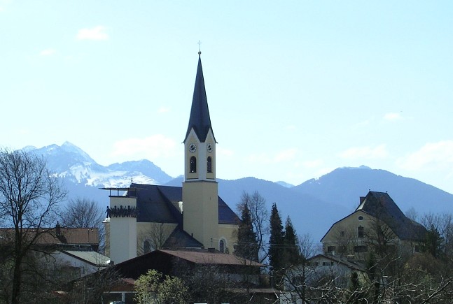

Рордорф
Hiking in Рордорф
Rohrdorf, located in Bavaria, Germany, is a picturesque area that offers a variety of hiking opportunities amidst beautiful landscapes. Here are some key points to consider when hiking in and around Rohrdorf:...
- Страна:
- Почтовый код: 83101
- Телефонный код: 08032; 08031
- Код автомобильного номера: RO
- Координаты: 47° 47' 56" N, 12° 10' 3" E
- GPS треки (wikiloc): [Ссылка]
- Высота над уровнем моря: 476 м m
- Площадь: 28.67 кв.км
- Население: 4266
- Веб сайт: [Ссылка]