Сен-Дени-ан-Бюже (Saint-Denis-en-Bugey, Saint-Denis-en-Bugey)
- коммуна во Франции
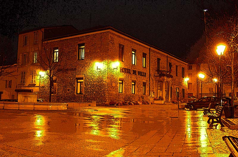
 Hiking in Сен-Дени-ан-Бюже
Saint-Denis-en-Bugey is a charming commune located in the Ain department of the Auvergne-Rhône-Alpes region in southeastern France. It is situated near the Bugey Mountains, which offers a variety of hiking opportunities for outdoor enthusiasts. Here are some details about hiking in the area:
Landscape and Trails
-
Scenic Views: The region features beautiful landscapes, including rivers, valleys, and forested areas. Hikers can enjoy stunning views, especially from higher elevations.
-
Trail Options: There are several marked hiking trails around Saint-Denis-en-Bugey. These range from easy walks suitable for families to more challenging hikes for experienced trekkers.
-
Nature Reserves: The area has nature reserves and protected sites that showcase local flora and fauna. These trails often provide opportunities for birdwatching and admiring diverse plant species.
Hiking Tips
-
Maps and Guides: It's essential to have a good hiking map or a GPS device, as some trails may not be well marked. Local tourist offices may offer guides and information on trail conditions.
-
Seasonal Considerations: Spring and autumn are great times to hike in this area due to pleasant weather and vibrant scenery. Be mindful of potential snow in winter, which may make some trails challenging.
-
Preparation: Always remember to wear appropriate hiking gear, carry sufficient water, snacks, and a first-aid kit, and inform someone of your plans.
Accessibility
Saint-Denis-en-Bugey is accessible via roads from larger cities such as Lyon, making it a convenient destination for day hikes or weekend getaways. Nearby towns like Belley and Morestel also offer additional hiking opportunities.
Local Attractions
After a hike, you might enjoy exploring the local cuisine at nearby restaurants or visiting historical sites in the region, such as churches and castles that reflect the area's rich history.
Hiking in and around Saint-Denis-en-Bugey provides a wonderful opportunity to connect with nature while enjoying the beauty of the Auvergne-Rhône-Alpes region.
- Страна:

- Почтовый код: 01500
- Координаты: 45° 57' 7" N, 5° 19' 45" E


- GPS треки (wikiloc): [Ссылка]
- Высота над уровнем моря: 250 м m
- Площадь: 2.61 кв.км
- Население: 2293
- Веб сайт: http://www.mairie-saintdenisenbugey.fr
- Википедия русская: wiki(ru)
- Википедия английская: wiki(en)
- Википедия национальная: wiki(fr)
- Хранилище Wikidata: Wikidata: Q838693
- Катеория в википедии: [Ссылка]
- Карты в википедии: [Ссылка]
- код Freebase: [/m/081qnh]
- код Freebase: [/m/081qnh]
- код GeoNames: Альт: [6424657]
- код GeoNames: Альт: [6424657]
- номер SIREN: [210103453]
- номер SIREN: [210103453]
- код муниципалитета INSEE: 01345
- код муниципалитета INSEE: 01345
Граничит с регионами:


Амбютри
- коммуна в департаменте Эн, Франция
Hiking in Амбютри
Ambutrix, a charming village in the Ain department of the Auvergne-Rhône-Alpes region in France, offers a variety of hiking opportunities that showcase its picturesque landscapes and rich biodiversity. While it might not be as well-known as some mountainous areas, it has trails that can appeal to hikers of all skill levels....
- Страна:
- Почтовый код: 01500
- Координаты: 45° 56' 21" N, 5° 20' 17" E
- GPS треки (wikiloc): [Ссылка]
- Площадь: 5.22 кв.км
- Население: 747
- Веб сайт: [Ссылка]

Амберьё-ан-Бюже
- коммуна в департаменте Эн, Франция
Hiking in Амберьё-ан-Бюже
Ambérieu-en-Bugey is a charming commune located in the Ain department of the Auvergne-Rhône-Alpes region in southeastern France. It's surrounded by the beautiful Bugey mountains, making it an excellent destination for hiking enthusiasts. Here are some highlights and tips for hiking in and around Ambérieu-en-Bugey:...
- Страна:
- Почтовый код: 01500
- Координаты: 45° 57' 29" N, 5° 21' 28" E
- GPS треки (wikiloc): [Ссылка]
- Высота над уровнем моря: 247 м m
- Площадь: 24.6 кв.км
- Население: 14081
- Веб сайт: [Ссылка]

Беттан
- коммуна во Франции
Hiking in Беттан
It seems there may be a typo or misunderstanding regarding the location "Bettant." If you meant a specific area known for hiking, such as a mountain or region, please clarify so I can provide you with more accurate information....
- Страна:
- Почтовый код: 01500
- Координаты: 45° 56' 37" N, 5° 21' 46" E
- GPS треки (wikiloc): [Ссылка]
- Площадь: 3.37 кв.км
- Население: 753
- Веб сайт: [Ссылка]

Шато-Гайар
- коммуна в департаменте Эн, Франция
Hiking in Шато-Гайар
Château-Gaillard, located in the Ain department in the Auvergne-Rhône-Alpes region of France, is a beautiful area known for its stunning landscapes and rich historical significance. Here are some key points about hiking in this picturesque location:...
- Страна:
- Почтовый код: 01500
- Координаты: 45° 58' 24" N, 5° 18' 15" E
- GPS треки (wikiloc): [Ссылка]
- Площадь: 16.06 кв.км
- Население: 2053
- Веб сайт: [Ссылка]

Лейман
- коммуна во Франции
Hiking in Лейман
Leyment is a charming commune located in the Ain department in the Auvergne-Rhône-Alpes region of France. It offers a picturesque setting for hiking enthusiasts who wish to explore the beautiful landscapes of the region....
- Страна:
- Почтовый код: 01150
- Координаты: 45° 55' 24" N, 5° 17' 42" E
- GPS треки (wikiloc): [Ссылка]
- Площадь: 14.18 кв.км
- Население: 1267
- Веб сайт: [Ссылка]