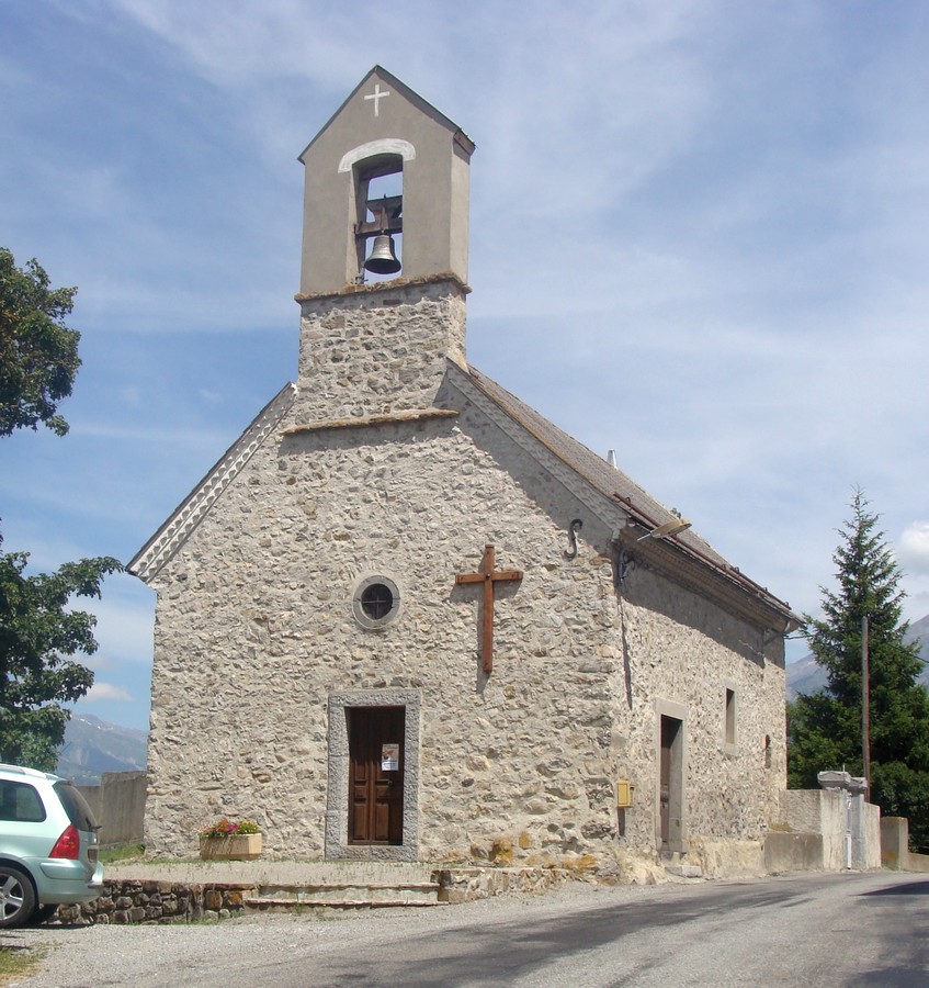
Сен-Лоран-дю-Кро (Saint-Laurent-du-Cros, Saint-Laurent-du-Cros)
- коммуна во Франции
 Hiking in Сен-Лоран-дю-Кро
Saint-Laurent-du-Cros is a charming village located in the Hautes-Alpes region of France. It’s an excellent base for outdoor enthusiasts, especially hikers, given its proximity to the Écrins National Park and the stunning landscapes of the Southern Alps.
Hiking Opportunities
-
Scenic Trails: The area boasts numerous hiking trails that cater to various skill levels, from easy walks suitable for families to challenging multi-day treks. The trails often feature beautiful views of mountains, valleys, and pristine natural landscapes.
-
Écrins National Park: Just a short distance away, the park is a massive expanse of mountain terrain with an extensive network of hiking routes. You can explore everything from alpine meadows to high mountain passes. Popular hikes include the route to the Glacier Blanc and the ascent to the Refuge de l’Oule.
-
Local Highlights: Trails around Saint-Laurent-du-Cros often lead to local cultural landmarks, such as charming historical buildings, scenic viewpoints, and unique geological formations.
-
Flora and Fauna: The hiking routes in this region are often rich in biodiversity. Keep an eye out for various alpine plants, wildlife, and stunning views of the surrounding peaks.
-
Seasonal Hiking: The best time for hiking in the area is typically late spring through early autumn (May to October), though some trails may remain snow-covered until late June or early July. Always check local conditions before heading out during these months.
Preparation Tips
- Maps and Guides: It’s advisable to carry a detailed map or a hiking app, as mobile service can be spotty in remote areas.
- Gear: Wear sturdy hiking boots, dress in layers to manage changing weather conditions, and carry essentials such as water, snacks, and a first aid kit.
- Local Information: The local tourist office can provide up-to-date information about trail conditions, guided walks, and safety tips.
Hiking in and around Saint-Laurent-du-Cros offers an incredible way to connect with nature and appreciate the stunning scenery of the Southern Alps. Always prioritize safety and be mindful of your limits and the environment!
- Страна:

- Почтовый код: 05500
- Координаты: 44° 38' 38" N, 6° 6' 39" E


- GPS треки (wikiloc): [Ссылка]
- Площадь: 12.69 кв.км
- Население: 520
- Википедия русская: wiki(ru)
- Википедия английская: wiki(en)
- Википедия национальная: wiki(fr)
- Хранилище Wikidata: Wikidata: Q1085886
- Катеория в википедии: [Ссылка]
- код Freebase: [/m/03mfp0l]
- код Freebase: [/m/03mfp0l]
- код GeoNames: Альт: [6425637]
- код GeoNames: Альт: [6425637]
- номер SIREN: [210501482]
- номер SIREN: [210501482]
- код муниципалитета INSEE: 05148
- код муниципалитета INSEE: 05148
Граничит с регионами:

Сен-Бонне-ан-Шансор
- коммуна во Франции
Hiking in Сен-Бонне-ан-Шансор
Saint-Bonnet-en-Champsaur, located in the Hautes-Alpes region of southeastern France, is a picturesque area that offers a variety of hiking opportunities. The region is known for its stunning alpine scenery, including mountains, rivers, and lush forests, making it a fantastic destination for outdoor enthusiasts....
- Страна:
- Почтовый код: 05500
- Координаты: 44° 40' 55" N, 6° 4' 35" E
- GPS треки (wikiloc): [Ссылка]
- Высота над уровнем моря: 1040 м m
- Площадь: 15.01 кв.км
- Население: 2047
- Веб сайт: [Ссылка]

Сен-Жюльен-ан-Шансор
- коммуна во Франции
Hiking in Сен-Жюльен-ан-Шансор
Saint-Julien-en-Champsaur, located in the French Alps, is a beautiful destination for hiking enthusiasts. The area offers a variety of trails that cater to different skill levels, from easy walks to challenging hikes. The stunning landscapes, including mountains, valleys, and forests, provide a picturesque backdrop for outdoor activities....
- Страна:
- Почтовый код: 05500
- Координаты: 44° 39' 33" N, 6° 7' 42" E
- GPS треки (wikiloc): [Ссылка]
- Площадь: 10.04 кв.км
- Население: 357

Гап
- коммуна во Франции
Hiking in Гап
Gap, located in the Hautes-Alpes region of southeastern France, is a wonderful destination for hiking enthusiasts. Surrounded by majestic mountains and alpine landscapes, it offers a variety of trails that cater to all levels of hikers, from beginners to experienced trekkers....
- Страна:
- Почтовый код: 05000
- Координаты: 44° 33' 31" N, 6° 4' 40" E
- GPS треки (wikiloc): [Ссылка]
- Площадь: 110.43 кв.км
- Население: 40776
- Веб сайт: [Ссылка]

Форе-Сен-Жюльен
- коммуна во Франции
Hiking in Форе-Сен-Жюльен
Forest-Saint-Julien, located in the Rhône-Alpes region of France, is a picturesque area that offers a variety of hiking opportunities for outdoor enthusiasts. Known for its diverse landscapes, including lush forests, rolling hills, and scenic views of the surrounding mountains, it’s a great destination for nature lovers....
- Страна:
- Почтовый код: 05260
- Координаты: 44° 38' 2" N, 6° 8' 8" E
- GPS треки (wikiloc): [Ссылка]
- Площадь: 6.95 кв.км
- Население: 317

Лей
- коммуна во Франции
Hiking in Лей
Laye, a charming commune in the Hautes-Alpes region of southeastern France, offers beautiful landscapes and a variety of hiking opportunities. Nestled in the French Alps, it boasts stunning mountain views, lush valleys, and diverse wildlife. Here are some key points to consider if you’re planning a hiking adventure in Laye:...
- Страна:
- Почтовый код: 05500
- Координаты: 44° 39' 40" N, 6° 5' 3" E
- GPS треки (wikiloc): [Ссылка]
- Площадь: 10.55 кв.км
- Население: 234