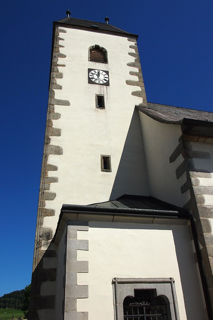
Зандль (Sandl, Sandl)
 Hiking in Зандль
Sandl is a beautiful area in Austria, known for its scenic landscapes and tranquil surroundings, making it a great destination for hikers of all skill levels. Nestled in the Mühlviertel region of Upper Austria, Sandl offers a variety of hiking trails that showcase the natural beauty of the region, including rolling hills, lush forests, and panoramic views.
Hiking Trails:
-
Nature Trails: There are several designated nature trails that provide insights into local flora and fauna. These trails are usually well-marked and suitable for family hikes.
-
Mountain Trails: For more experienced hikers, there are mountain trails that lead to higher elevations, offering breathtaking views of the surrounding countryside.
-
Themed Trails: Some trails in the area may have themes like historical routes or ecological exploration, which can enhance your hiking experience.
Hiking Tips:
-
Trail Maps: Always carry a map or download a hiking app that shows the trails in the Sandl area. Some trails might not be well marked, so having a reliable source of information is crucial.
-
Weather Preparedness: Weather can change quickly in mountainous regions, so be prepared with appropriate layers, rain gear, and sturdy footwear.
-
Stay Hydrated: Bring enough water, especially on longer hikes. There may not always be sources of fresh water available.
-
Wildlife Awareness: While hiking, be mindful of the local wildlife. Keep a safe distance from animals and do not feed them.
-
Leave No Trace: Follow the Leave No Trace principles to ensure that the beautiful landscapes remain untouched for future hikers.
Local Attractions:
After a day of hiking, consider exploring the local culture or relaxing at a nearby café to sample traditional Austrian cuisine. You might also find small places with local crafts to enjoy the unique character of the Mühlviertel region.
Whether you are looking for a leisurely stroll or a challenging hike, Sandl provides a peaceful and picturesque setting for outdoor activities. Enjoy your adventure!
- Страна:

- Почтовый код: 4251
- Телефонный код: 07944
- Код автомобильного номера: FR
- Координаты: 48° 33' 40" N, 14° 38' 40" E


- GPS треки (wikiloc): [Ссылка]
- Высота над уровнем моря: 927 м m
- Площадь: 58.4 кв.км
- Население: 1384
- Веб сайт: http://www.sandl.at/
- Википедия русская: wiki(ru)
- Википедия английская: wiki(en)
- Википедия национальная: wiki(de)
- Хранилище Wikidata: Wikidata: Q669284
- Катеория в википедии: [Ссылка]
- код Freebase: [/m/03gv3g_]
- код GeoNames: Альт: [2766784]
- код GND: Альт: [4336894-3]
- код австрийского муниципалитета: [40616]
Граничит с регионами:
Грюнбах
Hiking in Грюнбах
Grünbach is a charming area located in Upper Austria, known for its beautiful landscapes and hiking opportunities. Here are some key points about hiking in Grünbach:...
- Страна:
- Почтовый код: 4264
- Телефонный код: 07942
- Код автомобильного номера: FR
- Координаты: 48° 32' 20" N, 14° 32' 10" E
- GPS треки (wikiloc): [Ссылка]
- Высота над уровнем моря: 721 м m
- Площадь: 36.1 кв.км
- Население: 1887
- Веб сайт: [Ссылка]

Виндхаг-Фрайштадт
Hiking in Виндхаг-Фрайштадт
Windhaag bei Freistadt is a charming village located in the Mühlviertel region of Austria, surrounded by scenic landscapes perfect for hiking enthusiasts. The area is known for its rolling hills, lush forests, and beautiful meadows, making it a great spot for outdoor activities....
- Страна:
- Почтовый код: 4263
- Телефонный код: 07943
- Код автомобильного номера: FR
- Координаты: 48° 35' 10" N, 14° 33' 50" E
- GPS треки (wikiloc): [Ссылка]
- Высота над уровнем моря: 723 м m
- Площадь: 42.9 кв.км
- Население: 1579
- Веб сайт: [Ссылка]

Бад-Гроспертольц
Hiking in Бад-Гроспертольц
Bad Großpertholz, located in the Waldviertel region of Austria, offers a fantastic setting for hiking enthusiasts. The area is known for its stunning natural landscapes, forests, and rolling hills, providing a variety of trails suited for different skill levels. Here are some highlights of hiking in Bad Großpertholz:...
- Страна:
- Код автомобильного номера: GD
- Координаты: 48° 37' 45" N, 14° 49' 30" E
- GPS треки (wikiloc): [Ссылка]
- Высота над уровнем моря: 714 м m
- Площадь: 82.4 кв.км
- Население: 1359
- Веб сайт: [Ссылка]

Либенау
Hiking in Либенау
Liebenau, a charming village in Upper Austria, is surrounded by beautiful natural landscapes that are perfect for hiking enthusiasts. The area is characterized by rolling hills, lush forests, and serene valleys, offering a variety of trails suitable for all levels of hikers....
- Страна:
- Почтовый код: 4252
- Телефонный код: 07953
- Код автомобильного номера: FR
- Координаты: 48° 31' 50" N, 14° 48' 20" E
- GPS треки (wikiloc): [Ссылка]
- Высота над уровнем моря: 970 м m
- Площадь: 76.3 кв.км
- Население: 1597
- Веб сайт: [Ссылка]

Санкт-Освальд-Фрайштадт
Hiking in Санкт-Освальд-Фрайштадт
Sankt Oswald bei Freistadt is a charming municipality in Austria, known for its stunning natural landscapes and diverse hiking opportunities. Nestled in the Mühlviertel region of Upper Austria, it offers a mix of forested trails, rolling hills, and picturesque views....
- Страна:
- Почтовый код: 4271
- Телефонный код: 07945
- Код автомобильного номера: FR
- Координаты: 48° 30' 0" N, 14° 35' 0" E
- GPS треки (wikiloc): [Ссылка]
- Высота над уровнем моря: 608 м m
- Площадь: 40.9 кв.км
- Население: 2901
- Веб сайт: [Ссылка]

Вайтерсфельден
Hiking in Вайтерсфельден
Weitersfelden is a picturesque village located in the picturesque Mühlviertel region of Austria, known for its stunning landscapes, rolling hills, and dense forests. Hiking in and around Weitersfelden offers a range of trails suitable for various skill levels, making it a great destination for outdoor enthusiasts....
- Страна:
- Почтовый код: 4272
- Телефонный код: 07952
- Код автомобильного номера: FR
- Координаты: 48° 28' 40" N, 14° 43' 40" E
- GPS треки (wikiloc): [Ссылка]
- Высота над уровнем моря: 733 м m
- Площадь: 43.7 кв.км
- Население: 1042
- Веб сайт: [Ссылка]