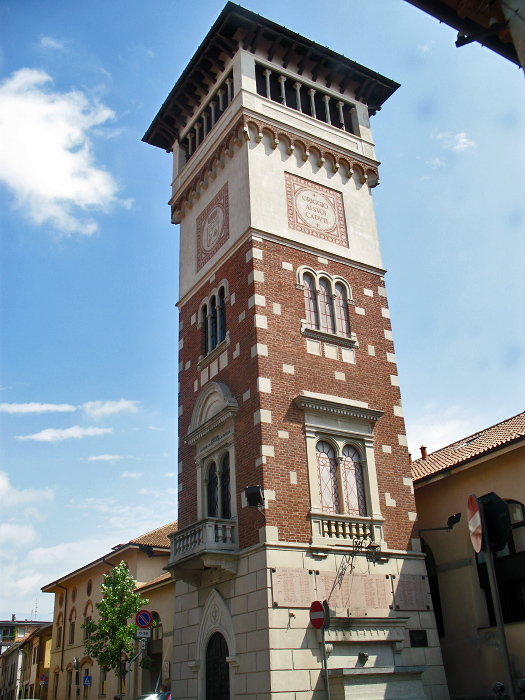
Убольдо (Uboldo, Uboldo)
.svg)
- коммуна Италии
 Hiking in Убольдо
Uboldo is a small town located in the Lombardy region of Italy, near the foothills of the Alps. While Uboldo itself may not be a famous hiking destination, there are several nearby trails and natural areas that you can explore. Here are some tips and suggestions for hiking in and around Uboldo:
Local Trails and Areas:
-
Parco Regionale della Valle del Lambro - This regional park is not far from Uboldo and offers a variety of hiking trails through forests, wetlands, and along the Lambro River. The area is great for enjoying nature and spotting wildlife.
-
Monte Rosa Area - A bit further along, but the Monte Rosa massif offers spectacular hiking opportunities. Routes range from easy walks to challenging climbs, providing stunning views and diverse landscapes.
-
Lombardy Hills - The hills surrounding Uboldo and nearby towns like Saronno may have various lesser-known trails perfect for day hikes. Look for local information boards or hiking maps that detail trails in the area.
Tips for Hiking in Uboldo:
-
Check Trail Conditions: Before heading out, check the current trail conditions and weather forecasts. Local visitor centers or hiking clubs can provide the latest information.
-
Bring Plenty of Water and Snacks: Especially during warmer months, stay hydrated, and carry enough energy-boosting snacks for your hike.
-
Wear Appropriate Footwear: Proper hiking shoes are essential for comfort and safety on rugged terrain.
-
Follow Leave No Trace Principles: As with any hiking area, be respectful of the environment by following Leave No Trace guidelines. This includes packing out what you pack in.
-
Local Regulations: Be aware of any specific rules in the parks or nature reserves, including potential seasonal restrictions on wildlife areas.
-
Navigation Tools: Have a map or GPS device, as some trails may not be well-marked.
Additional Activities:
If you have time, consider exploring Uboldo’s local culture and cuisine. Enjoying the regional Italian food can be a wonderful way to wind down after a day on the trails.
While Uboldo isn't a major hiking destination, the nearby areas offer some beautiful scenic opportunities. Enjoy your outdoor exploration!
- Страна:

- Почтовый код: 21040
- Телефонный код: 02
- Код автомобильного номера: VA
- Координаты: 45° 37' 0" N, 9° 0' 0" E


- GPS треки (wikiloc): [Ссылка]
- Высота над уровнем моря: 205 м m
- Площадь: 10.74 кв.км
- Население: 10565
- Веб сайт: http://www.comune.uboldo.va.it/
- Википедия русская: wiki(ru)
- Википедия английская: wiki(en)
- Википедия национальная: wiki(it)
- Хранилище Wikidata: Wikidata: Q40674
- Катеория в википедии: [Ссылка]
- код Freebase: [/m/0ghzx4]
- код GeoNames: Альт: [6542312]
- код VIAF: Альт: [240105434]
- ID отношения в OpenStreetMap: [45487]
- место в MusicBrainz: [3bdbb48e-00f3-4844-97f2-cf6b5bb59790]
- UN/LOCODE: [ITUBD]
- код ISTAT: 012130
- кадастровый код Италии: L480
Граничит с регионами:


Джеренцано
- коммуна Италии
Hiking in Джеренцано
Gerenzano is a small town located in the Lombardy region of Italy, near Como and Milan. While it may not be widely known as a primary hiking destination, there are opportunities for outdoor enthusiasts in and around the area....
- Страна:
- Почтовый код: 21040
- Телефонный код: 02
- Код автомобильного номера: VA
- Координаты: 45° 38' 26" N, 9° 0' 7" E
- GPS треки (wikiloc): [Ссылка]
- Высота над уровнем моря: 226 м m
- Площадь: 9.79 кв.км
- Население: 10914
- Веб сайт: [Ссылка]

Ориджо
- коммуна Италии
Hiking in Ориджо
Origgio, located in the Lombardy region of Italy, is surrounded by beautiful landscapes and offers various opportunities for hiking and outdoor activities. While it may not be as well-known for hiking as some other regions in Italy, there are still some lovely trails and outdoor spots nearby that you can explore....
- Страна:
- Почтовый код: 21040
- Телефонный код: 02
- Код автомобильного номера: VA
- Координаты: 45° 35' 49" N, 9° 1' 6" E
- GPS треки (wikiloc): [Ссылка]
- Высота над уровнем моря: 191 м m
- Площадь: 7.92 кв.км
- Население: 7827
- Веб сайт: [Ссылка]


Саронно
- коммуна Италии
Hiking in Саронно
Saronno, located in the Lombardy region of northern Italy, is not primarily known as a hiking destination, but it does have access to some beautiful trails and natural areas nearby. Here are a few points to consider if you're looking to hike around Saronno:...
- Страна:
- Почтовый код: 21047
- Телефонный код: 02
- Код автомобильного номера: VA
- Координаты: 45° 37' 32" N, 9° 2' 13" E
- GPS треки (wikiloc): [Ссылка]
- Высота над уровнем моря: 212 м m
- Площадь: 11.06 кв.км
- Население: 39419
- Веб сайт: [Ссылка]
Черро-Магжиоре
- коммуна Италии
Hiking in Черро-Магжиоре
Cerro Maggiore is a beautiful hiking destination located in the Lombardy region of Italy, near the town of the same name. This area is known for its scenic landscapes, diverse flora, and excellent trails that cater to various skill levels. Here are some key points to consider when planning a hike in Cerro Maggiore:...
- Страна:
- Почтовый код: 20023
- Телефонный код: 0331
- Код автомобильного номера: MI
- Координаты: 45° 36' 0" N, 8° 57' 0" E
- GPS треки (wikiloc): [Ссылка]
- Высота над уровнем моря: 205 м m
- Площадь: 10.12 кв.км
- Население: 15224
- Веб сайт: [Ссылка]
Рескальдина
- коммуна Италии
Hiking in Рескальдина
Rescaldina is a charming town in Italy, located in the Lombardy region. While it’s not typically known as a major hiking destination, it does offer several trails and natural areas suitable for walking and outdoor activities nearby....
- Страна:
- Почтовый код: 20027
- Телефонный код: 0331
- Код автомобильного номера: MI
- Координаты: 45° 37' 0" N, 8° 57' 0" E
- GPS треки (wikiloc): [Ссылка]
- Высота над уровнем моря: 220 м m
- Площадь: 8.03 кв.км
- Население: 14132
- Веб сайт: [Ссылка]