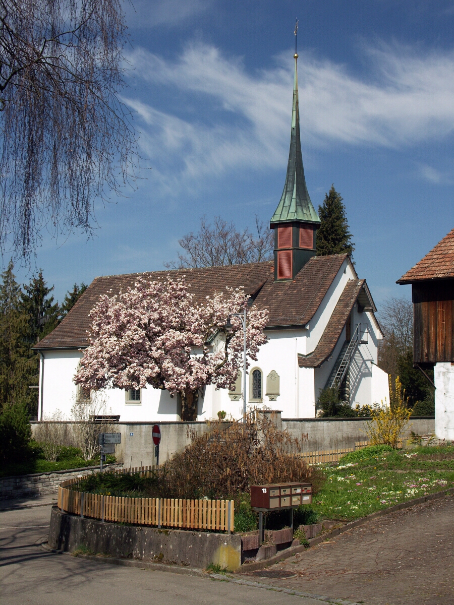
Уйтикон (Uitikon, Uitikon)

 Hiking in Уйтикон
Uitikon is a picturesque municipality located just outside of Zurich, Switzerland, making it a great destination for hiking enthusiasts. The area is characterized by its beautiful landscapes, including rolling hills, forests, and views of the surrounding mountains.
Hiking Trails in Uitikon:
-
Uetliberg Trail:
- Overview: This popular trail connects Uitikon to Uetliberg, a mountain offering fantastic panoramic views of Zurich and the Lake Zurich area.
- Distance: Approximately 3-4 km (1.5-2.5 miles).
- Difficulty: Moderate.
- Highlights: Scenic viewpoints, diverse flora and fauna, and opportunities for photography.
-
Zurich City Trail:
- Overview: This trail connects various natural and urban environments around Uitikon and Zurich, leading you through parks and residential areas.
- Distance: Varies, typically around 10 km (6 miles).
- Difficulty: Easy to moderate.
- Highlights: Experience the contrast between nature and city life, with numerous spots to rest and enjoy a picnic.
-
Forest Trails:
- Overview: There are several smaller, less marked trails through the nearby forests that are perfect for those looking for a more secluded experience.
- Distance: Varies based on chosen paths.
- Difficulty: Generally easy, but can vary.
- Highlights: Peaceful surroundings, wildlife sightings, and a chance to explore the local flora.
Tips for Hiking in Uitikon:
- Best Time to Visit: Spring and fall are ideal for hiking due to mild temperatures and beautiful scenery. Summers can be warm, while winters can bring snow.
- Gear: Wear sturdy hiking boots and bring weather-appropriate clothing, water, and snacks. A map or GPS device can also be helpful.
- Respect Nature: Stay on marked trails and follow local regulations to preserve the natural environment.
- Public Transport: Uitikon is easily accessible by public transport from Zurich, making it convenient to start your hike.
Additional Activities:
- Cycling: Many trails are also suitable for mountain biking.
- Picnicking: There are numerous scenic spots perfect for a packed lunch.
- Exploring Nearby Areas: Consider visiting nearby attractions in Zurich or other surrounding villages after your hike.
Hiking in Uitikon offers a wonderful blend of nature and accessibility, making it a fantastic choice for both novice and experienced hikers. Enjoy your adventures!
- Страна:

- Почтовый код: 8142
- Телефонный код: 044
- Код автомобильного номера: ZH
- Координаты: 47° 22' 1" N, 8° 27' 33" E


- GPS треки (wikiloc): [Ссылка]
- Высота над уровнем моря: 567 м m
- Площадь: 4.38 кв.км
- Население: 4239
- Веб сайт: http://www.uitikon.ch
- Википедия русская: wiki(ru)
- Википедия английская: wiki(en)
- Википедия национальная: wiki(de)
- Хранилище Wikidata: Wikidata: Q66678
- Катеория в википедии: [Ссылка]
- код Freebase: [/m/0gt06j]
- код GeoNames: Альт: [7287367]
- код VIAF: Альт: [167118359]
- ID отношения в OpenStreetMap: [1682221]
- идентификатор HDS: [166]
- код швейцарского муниципалитета: [0248]
Граничит с регионами:

Урдорф
- город Швейцарии
Hiking in Урдорф
Urdorf is a municipality in the canton of Zurich, Switzerland, offering wonderful opportunities for hiking enthusiasts. While Urdorf itself is a bit more urban, it's surrounded by beautiful landscapes ideal for outdoor activities....
- Страна:
- Почтовый код: 8902
- Телефонный код: 044; 043
- Код автомобильного номера: ZH
- Координаты: 47° 23' 12" N, 8° 25' 40" E
- GPS треки (wikiloc): [Ссылка]
- Высота над уровнем моря: 430 м m
- Площадь: 7.62 кв.км
- Население: 9768
- Веб сайт: [Ссылка]

Цюрих
- город в Швейцарии
Hiking in Цюрих
Hiking in Zürich offers a wonderful mix of urban convenience and stunning natural landscapes. The city is situated near the edge of the Swiss Alps, providing easy access to numerous trails that cater to all levels of hikers, from beginners to experienced trekkers....
- Страна:
- Почтовый код: 8064; 8063; 8057; 8055; 8053; 8052; 8051; 8050; 8049; 8046; 8045; 8044; 8041; 8038; 8037; 8032; 8008; 8006; 8005; 8004; 8003; 8002; 8001; 8000
- Телефонный код: 044; 043
- Код автомобильного номера: ZH
- Координаты: 47° 22' 43" N, 8° 32' 24" E
- GPS треки (wikiloc): [Ссылка]
- Высота над уровнем моря: 408 м m
- Площадь: 87.88 кв.км
- Население: 409241
- Веб сайт: [Ссылка]