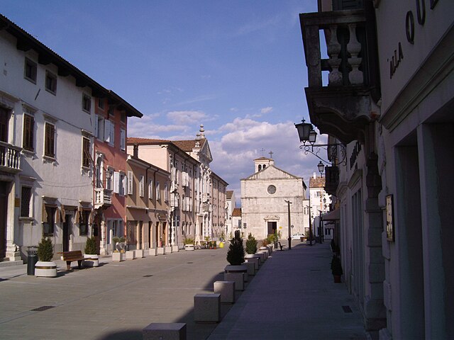
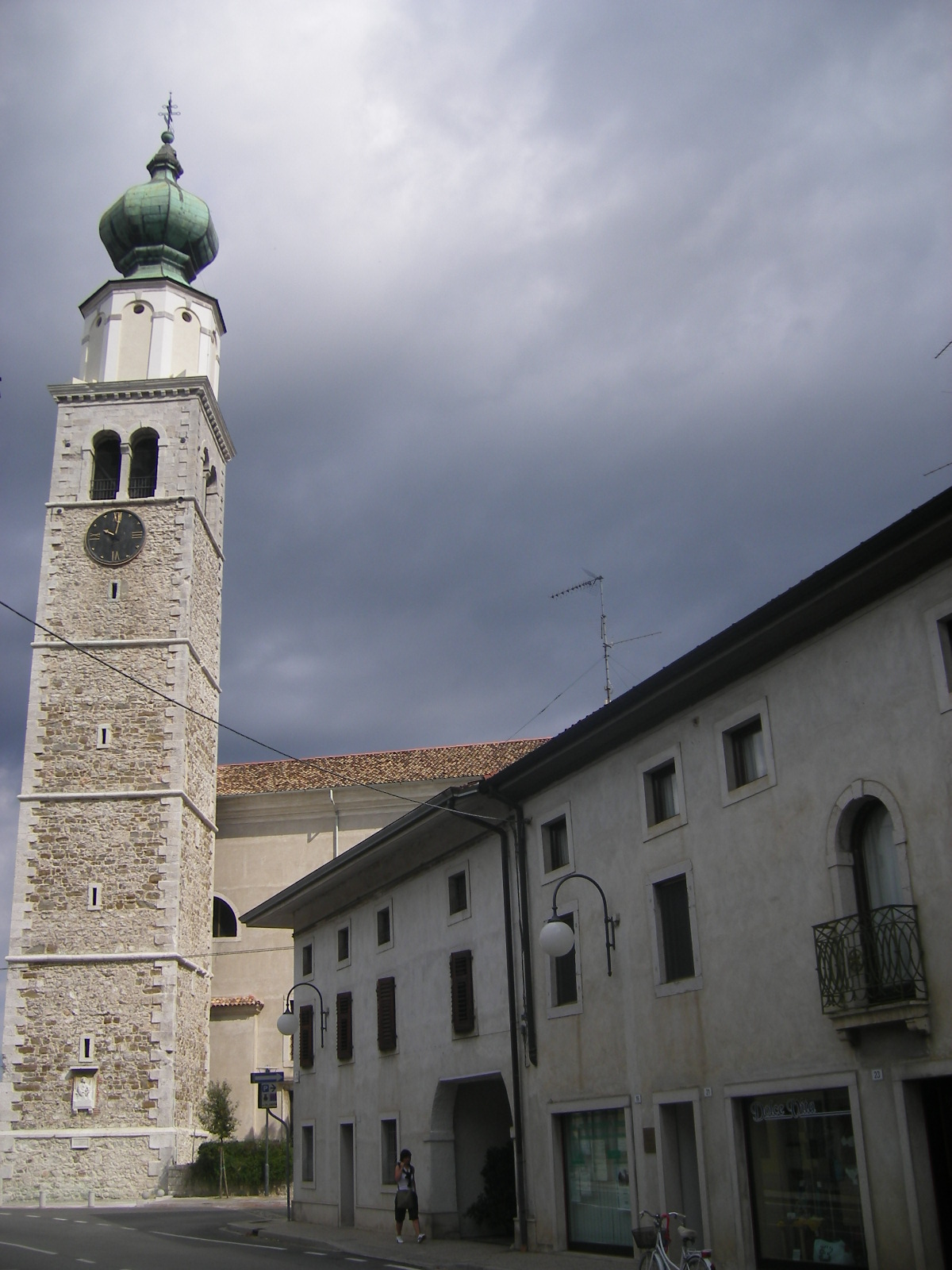
Виллессе (Villesse, Villesse)
.svg)
- коммуна Италии
 Hiking in Виллессе
Villesse is a small town located in the Friuli Venezia Giulia region of Italy, close to the border with Slovenia. While it may not be as well-known as other hiking destinations, the area around Villesse offers a variety of outdoor activities and potential hiking opportunities.
Hiking Options Near Villesse:
-
Natural Parks and Trails:
- The nearby Riserva Naturale Foci dello Isonzo offers scenic trails along the Isonzo River, featuring a mix of wetlands, woodlands, and open fields. This area is rich in biodiversity and provides a peaceful hiking experience.
-
Collio Region:
- To the north of Villesse, the Collio wine region features beautiful rolling hills and vineyards. You can find various walking and hiking paths that weave through the landscape, providing stunning views and opportunities for wine tasting along the way.
-
Julian Alps:
- While a bit further away, heading towards the Julian Alps offers some fantastic hiking opportunities. The national parks in this region, such as Triglav National Park, are renowned for their dramatic mountain scenery and well-marked trails.
-
Slovenia Border:
- Villesse’s proximity to Slovenia allows for easy access to additional hiking trails in the Tricorno Mountain Range and other areas. Be sure to check out trails in Stanjel or Komen, both of which offer distinct landscapes and a variety of difficulty levels.
Things to Consider:
- Weather: Always check the local weather conditions before heading out, as they can change quickly in mountainous regions.
- Trail Maps: Consider obtaining a local hiking map or guide, especially if you plan to explore less-marked trails.
- Gear: Ensure you're properly equipped with good footwear, water, snacks, and a first-aid kit for longer hikes.
- Local Insights: Engage with local hiking groups or guides to learn about hidden gems in the area that might not be widely known.
While the immediate area around Villesse might not have extensive hiking trails, its location offers access to some incredible natural landscapes in both Italy and Slovenia. Enjoy your hiking adventure!
- Страна:

- Почтовый код: 34070
- Телефонный код: 0481
- Код автомобильного номера: GO
- Координаты: 45° 52' 0" N, 13° 26' 0" E


- GPS треки (wikiloc): [Ссылка]
- Высота над уровнем моря: 18 м m
- Площадь: 12.05 кв.км
- Население: 1698
- Веб сайт: http://www.comune.villesse.go.it
- Википедия русская: wiki(ru)
- Википедия английская: wiki(en)
- Википедия национальная: wiki(it)
- Хранилище Wikidata: Wikidata: Q53147
- Катеория в википедии: [Ссылка]
- код Freebase: [/m/0gkc8v]
- код GeoNames: Альт: [6538408]
- ID отношения в OpenStreetMap: [79225]
- UN/LOCODE: [ITVLL]
- код ISTAT: 031025
- кадастровый код Италии: M043
Граничит с регионами:


Фольяно-Редипулья
- коммуна Италии
Hiking in Фольяно-Редипулья
Fogliano Redipuglia, located in the Friuli-Venezia Giulia region of Italy, is an area rich in history and natural beauty, making it an excellent destination for hiking enthusiasts. The region is characterized by its picturesque landscapes, including rolling hills, vineyards, and factories of World War I history....
- Страна:
- Почтовый код: 34070
- Телефонный код: 0481
- Код автомобильного номера: GO
- Координаты: 45° 51' 56" N, 13° 28' 56" E
- GPS треки (wikiloc): [Ссылка]
- Высота над уровнем моря: 23 м m
- Площадь: 7.92 кв.км
- Население: 3048
- Веб сайт: [Ссылка]

Градиска-д’Изонцо
- коммуна Италии
Hiking in Градиска-д’Изонцо
Gradisca d'Isonzo, located in the Friuli Venezia Giulia region of Italy, offers a charming setting for hiking enthusiasts, with scenic landscapes, rich history, and diverse trails. Here are some key points to consider for hiking in this area:...
- Страна:
- Почтовый код: 34072
- Телефонный код: 0481
- Код автомобильного номера: GO
- Координаты: 45° 53' 0" N, 13° 30' 0" E
- GPS треки (wikiloc): [Ссылка]
- Высота над уровнем моря: 32 м m
- Площадь: 11.22 кв.км
- Население: 6452
- Веб сайт: [Ссылка]

Романс-д’Изонцо
- коммуна Италии
Hiking in Романс-д’Изонцо
Hiking in the Romans d'Isonzo area, located in northeastern Italy, offers a stunning blend of natural beauty, rich history, and diverse trails suited for various skill levels. This region, part of the larger Isonzo River valley, is known for its picturesque landscapes, including mountains, rivers, and lush forests....
- Страна:
- Почтовый код: 34076
- Телефонный код: 0481
- Код автомобильного номера: GO
- Координаты: 45° 53' 0" N, 13° 26' 0" E
- GPS треки (wikiloc): [Ссылка]
- Высота над уровнем моря: 23 м m
- Площадь: 15.5 кв.км
- Население: 3717
- Веб сайт: [Ссылка]


Сан-Пьер-д’Изонцо
- коммуна Италии
Hiking in Сан-Пьер-д’Изонцо
San Pier d'Isonzo is a small town in the Friuli Venezia Giulia region of Italy, near the Isonzo River and not far from the border with Slovenia. While it may not be known as a major hiking destination, the surrounding areas offer opportunities for outdoor enthusiasts to explore the lush landscapes, historical sites, and scenic views....
- Страна:
- Почтовый код: 34070
- Телефонный код: 0481
- Код автомобильного номера: GO
- Координаты: 45° 51' 0" N, 13° 28' 0" E
- GPS треки (wikiloc): [Ссылка]
- Высота над уровнем моря: 18 м m
- Площадь: 9.03 кв.км
- Население: 2023
- Веб сайт: [Ссылка]


Камполонго-Тапольяно
- коммуна Италии
Hiking in Камполонго-Тапольяно
Campolongo Tapogliano, located in the Friuli Venezia Giulia region of northeastern Italy, offers a variety of hiking opportunities set against a picturesque backdrop of rolling hills and verdant landscapes. Here are some key points to consider for hiking in this area:...
- Страна:
- Почтовый код: 33040
- Телефонный код: 0431
- Код автомобильного номера: UD
- Координаты: 45° 52' 0" N, 13° 23' 0" E
- GPS треки (wikiloc): [Ссылка]
- Высота над уровнем моря: 16 м m
- Площадь: 11.02 кв.км
- Население: 1155
- Веб сайт: [Ссылка]


Руда
- коммуна в Италии
Hiking in Руда
Ruda, located in the Friuli Venezia Giulia region of Italy, is surrounded by beautiful landscapes and rich natural heritage, making it an excellent area for hiking. Here's an overview of what you can expect when hiking in and around Ruda:...
- Страна:
- Почтовый код: 33050
- Телефонный код: 0431
- Код автомобильного номера: UD
- Координаты: 45° 50' 0" N, 13° 24' 0" E
- GPS треки (wikiloc): [Ссылка]
- Высота над уровнем моря: 12 м m
- Площадь: 19.47 кв.км
- Население: 2900
- Веб сайт: [Ссылка]